
GeoExt
Ein JavaScript Toolkit für anspruchsvolle Web Mapping-Anwendungen
GeoExt ist Open Source und ermöglicht das Erstellen von Desktop-ähnlichen GIS-Anwendungen über das Web. Es ist ein JavaScript-Framework, das die GIS-Funktionalität von OpenLayers mit der Benutzeroberfläche der ExtJS -Bibliothek von Sencha kombiniert.
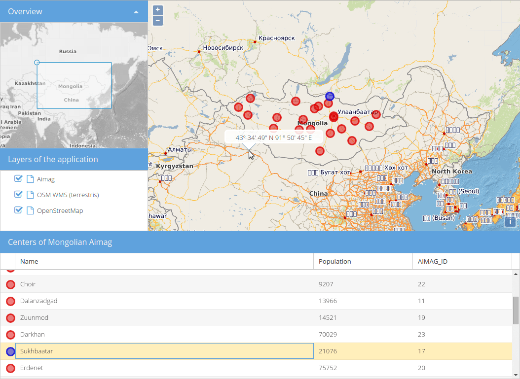
Zu den Komponenten der Benutzeroberfläche gehören ein Kartenbereich, ein Ebenenbaum, ein Feature-Raster und eine Übersichtskarte. GeoExt-Komponenten können wie jede andere ExtJS-Komponente verwendet und einfach konfiguriert und erweitert werden. Es sind auch Klassen verfügbar, die die Verwendung von OpenLayers-Features und -Layern als ExtJS-Datenmodelle sowie die Serialisierung verschiedener Karten-Layer-Typen ermöglichen.
GeoExt is dual licensed. The license you choose depends on the license of the framework ExtJS you use with it. If you are using the GPL v3 version of the ExtJS framework you will use it under GPLv3. If you own a Sencha ExtJS Commercial License, you have the right to use GeoExt under the BSD License.
Kernfunktionen
UI-Komponenten
Kartenbereich
Übersichtskarte
Popups
Feature-Renderer
Ebenenbaum, Legenden und Drag-and-Drop-Layer-Reihenfolge
Datenmodelle und -speicher
Integration des OpenLayers-Datenmodells in das ExtJS-Datenmodell zum Sortieren und Filtern von Features mit ExtJS-Komponenten
ExtJS-Stores und -Modelle für OpenLayers-Features und -Layer
Weiteres
Integration with
Layer Serialisierer (WMS, WMTS, XYZ)
Details
Website: https://geoext.github.io/geoext
License: GPLv3 or BSD License dependent on ExtJS license
see License
and License FAQ
Software-Version: 3.4.0
API Interface: JavaScript
Support: Mailing lists