Sea floor mapping
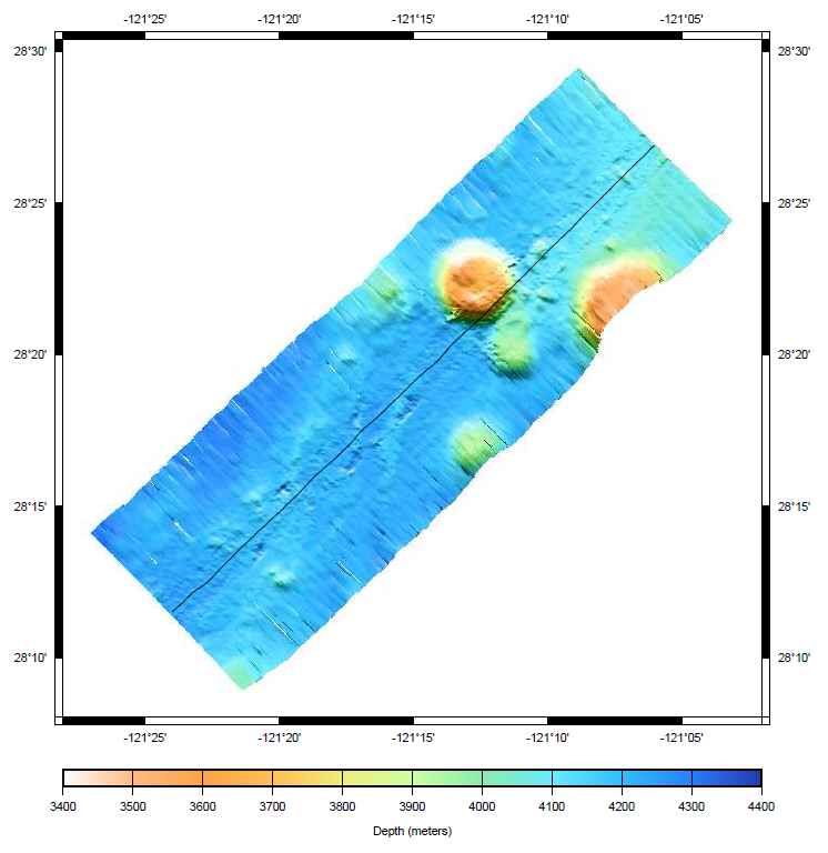
MB-System is an open source software package for the processing and
display of bathymetry and backscatter imagery data derived from
multibeam, interferometry, and sidescan sonars. It makes extensive
use of the GMT software.
MB-System has been under development since 1993, with active support
from a number of research and science organisations.
Core Features
- Read, list, and translate many swath data formats
- Batch processing of large datasets
- Calculate and compensate for sound velocity profile
- Navigation and inertial systems data analysis and editor
- Patch test analysis
- Automatic or interactive bathymetry data cleaning
- Interactive 3D visualization data cleaning tools
- Gridding, statistical analysis, and extraction of cleaned bathymetric product
- Map reprojection
- Sidescan and amplitude data processing and mosaicking
- Grid visualization
- Survey planning
- PostScript graphics
- Exporting data products to GIS and visualization packages
- Subbottom profiler data processing
- Tide modeling and correction
Details
Website: http://www.ldeo.columbia.edu/res/pi/MB-System/
Licence: GNU General Public License (GPL) version 3
Software Version: 5.4.2191
Supported Platforms: GNU/Linux, Mac OSX, MS Windows (with Cygwin)
API Interfaces: Command line