
Users familiar with GMT and GDAL will be right at home with MB-System. In fact, MB-System makes heavy use of GMT for its map rendering. MB-System is a modular, command line driven suite of about 75 programs which work together to process massive (often terabytes) worth of multi-beam swath bathymetry and sidescan sonar data using automated scripts. Data files in dozens of data formats can be left co-mingled and intact on the drive and only those needed will be automatically selected, allowing for efficient processing and seamless mixing of datasets collected at different times, by different ships, in different data formats. Cartographic output and advanced 3D data cleaning software is also included.
Open a terminal, then
cd /usr/local/mbsystem/examples/
cd mbinfo
./mbinfo.cmd
cd /usr/local/mbsystem/examples/
cd mbgrid
export PATH="$PATH:."
./mbgrid.cmd
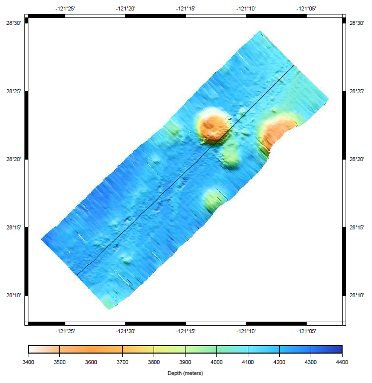
cd /usr/local/mbsystem/examples/
cd mbm_plot
export PATH="$PATH:."
./mbm_plot_5.cmd
See also the MB-System entry in the GRASS GIS wiki