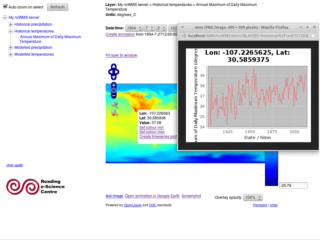
ncWMS pubblica dati multi-dimensionali (per esempio dati ambientali e meteo) come un Web Map Service (WMS) conforme a OGC. ncWMS quickly and efficiently extracts the map images from the very the large data files typically associated with environmental data.

Sito web: http://www.resc.rdg.ac.uk/trac/ncWMS/
Licenza: Modified BSD License
Versione software: 1.1.1
Piattaforme Supportate: All Java 1.5 platforms: Windows, Linux, Mac
Interfacce API: Java; WMS
Supporto: http://www.resc.rdg.ac.uk/trac/ncWMS/wiki/MailingLists