
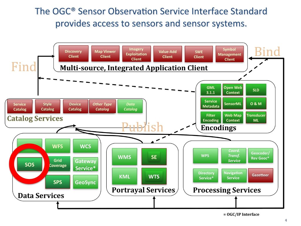
Sensor Observation Service (SOS)
The OGC Sensor Observation Service (SOS) Interface Standard is a data service. The OGC SOS standard defines a standardized interface and operations for access to observations from sensors and sensor systems that is consistent for all sensor systems including remote, in-situ, fixed and mobile sensors. SOS provides query results in the Observation and Measurements (O&M) standard format for modeling sensor observations and the SensorML specification for modeling sensors and sensor systems. (http://www.opengeospatial.org/standards/sos)
The SOS standard defines a common model for sensors and sensor systems that is not domain-specific and can be used without a-priori knowledge of domain-specific application schemas.
An observation is an event whose result is an estimate of the value of some property of the feature-of-interest, obtained using a specified procedure. Observations are defined by
- eventTime – when was the measurement made
- featureOfInterest – what entity is being measured
- observedProperty - what characteristic was measured
- procedure - how was it measured
Mandatory SOS operations include: * GetObservation - access to sensor observations and measurement data via a spatio-temporal query that can be filtered by phenomena * GetCapabilities - SOS service metadata * DescribeSensor - information about the sensors, their processes and platforms in SensorML
Optional operations include: GetResult, GetFeatureOfInterest, GetFeatureOfInterestTime, DescribeFeatureofInterest, DescribeObservationType, DescribeResultModel, Register Sensor, and InsertObservation.
See Also
- Web Coverage Service (WCS)
- Web Feature Service (WFS)
- Grid Coverage Service
- Sensor Planning Service
- Coordinate Transformation Service