MetaCRS
Coordinate Reference System Transformations

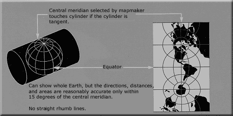
The group of MetaCRS projects provide libraries of methods to transform between different coordinate reference systems. A geographic coordinate reference systems allows all points on the earth to be described as set of coordinates (such as latitude, longitude and elevation). Different systems are used to represent the 3 dimensional earth on a flat, 2 dimensional map.
The MetaCRS libraries are included in other projects and some are also available via a command line interface.
The sub-projects that make up MetaCRS include:
- PROJ.4 (C++) - used in MapServer, GRASS GIS, PostGIS, Mapnik, Thuban, OGDI, TopoCad, OGRCoordinateTransformation and various others.
- Proj4js (JavaScript) - used in OpenLayers.
- CS-Map (C++) - used in MapGuide.
- GeoTIFF/libgeotiff (C++).
- Proj4J (Java).
- SpatialReference.org - website to retrieve coordinate system definitions.
Core Features
- Provides point transformation from one coordinate reference system to another.
- Includes transformation between datums.
- Large number of projection classes supported.
Implemented Standards
The projects typically use coordinate system definitions as defined by the European Petroleum Survey Group (EPSG) and defined in Well Known Text (WKT) format.
PROJ.4
Website: http://trac.osgeo.org/proj/
Licence: X/MIT style Open Source license
Software Version: 4.8.0
Supported Platforms: Windows, Linux, Mac
API Interfaces: C, C++, Python, Java, Ruby
Proj4js
Website: http://proj4js.org
Licence: X/MIT style Open Source license
Supported Platforms: Windows, Linux, Mac
API Interfaces: JavaScript
CS-Map
Website: http://trac.osgeo.org/csmap/
Licence: custom
Supported Platforms: Windows, Linux, Mac
API Interfaces: C, C++
GeoTIFF/libgeotiff
Website: http://trac.osgeo.org/geotiff/
Licence: X/MIT style Open Source license
Software Version: 1.4.0
Proj4J
Website: http://trac.osgeo.org/proj4j/
Licence: Apache License, Version 2.0
Supported Platforms: Windows, Linux, Mac
API Interfaces: Java
