

OpenLayers3
Browser/Mobile Map Library And GIS Client
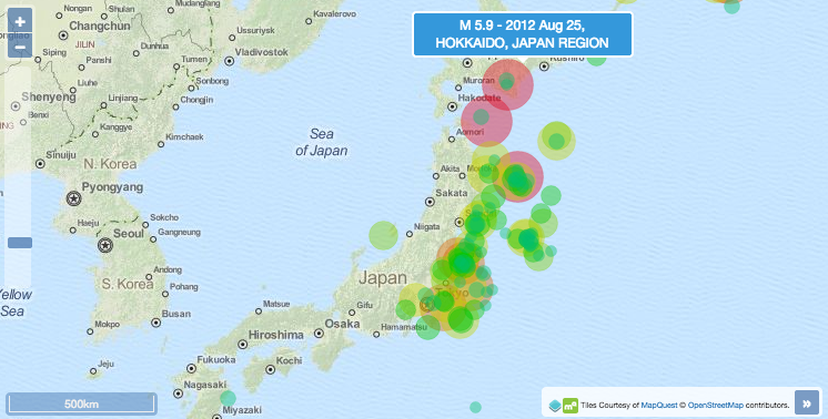
OpenLayers3 is a light-weight mapping library for web and mobile clients which users modern browser technologies, such as HTML5, WebGL and CSS3.
OpenLayers3 is a complete rewrite the previous robust and widely deployed OpenLayers2 library. They both offer an extensive set of features that cover basic to advanced web mapping and GIS requirements.
Core Features
- Layers
- Raster: WMS/WMTS, OpenStreetMap, MapQuest, Stamen, Bing, static images, etc.
- Vector: WFS, KML, GeoJSON, TopoJSON, GPX, and IGC.
- Heatmaps.
- Render vector layers as raster.
- Controls and Interactions
- Map overview, zoom slider, zoom in/out buttons, scale line, rotation, etc.
- Map pan, zoom and rotation, feature selection, modification, etc.
- Styling and customization
- Powerful styling of features: points, lines, polygons and icons.
- Customize controls look and feel using CSS3.
- Overlays
- Render any DOM element at any place on the map.
- Great flexibility to create tooltips and markers.
- Mix the power of HTML5 capabilities with a mapping application.
- Events
- Attach listener functions to react against map events.
- Create your custom controls or interactions.
- Misc
- Mobile browser support.
- Light weight library. Build customized packages to reduce size.
- Render maps using different technologies: Canvas, WebGL, DOM.
- Raster analysis (change hue/saturation).
Details
Website: http://openlayers.org
License: 2-clause BSD License (aka FreeBSD License)
Software Version: 3.13.1
API Interface: JavaScript