OSGeoLive

Version: 16.0
Released: Novembre 2023
Premere «s» per le note sulla diapositiva, ESC per ridurre lo zoom, SPAZIO / tasti freccia per navigare.
I pop-up sono bloccati in alcuni browser a causa delle impostazioni di sicurezza. Provate con Firefox o Safari.
Una distribuzione GNU/Linux Open Source Geospaziale
Trova questa presentazione
https://live.osgeo.org/en/presentation.html
Sviluppo della Presentazione <https://osgeo.github.io/OSGeoLive-doc/en/presentation.html#/>`__
What is new in 16.0
What is new in 16.0
Updated to Lubuntu 22.04.2 LTS
What is new in 16.0
Pacchetti base aggiornati basati su DebianGIS
What is new in 16.0
QGIS 3.28.5,
GDAL 3.6.4,
PROJ 9.1.1,
PostGIS 3.3.3,
GRASS 8.2.1,
GeoServer 2.22.2,
MapServer 8.0.1,
e molti altri…
What is new in 16.0
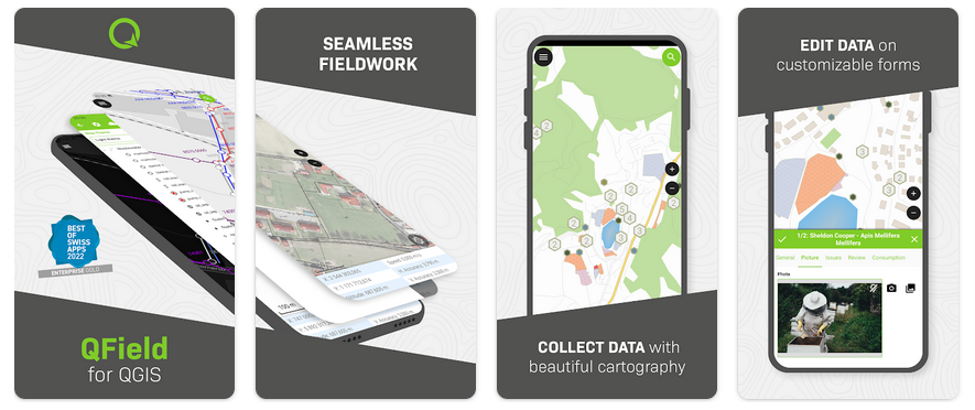
New projects added: OpenDataCube and QField
What is new in 16.0
Scarica la ISO o il VMDK di OSGeoLive (con ancora più software)
What is new in 16.0
Aggiornamenti della documentazione
What is new in 16.0
OSM data for Prizren
What is new in 16.0
I pacchetti aggiornati vengono restituiti a UbuntuGIS
What is new in 16.0
Che cosa è OSGeoLive?
Componenti in OSGeoLive
Oltre 50 applicazioni geospaziali Open Source
Panoramiche e guide rapide coerenti
Set di dati di esempio
Traduzioni
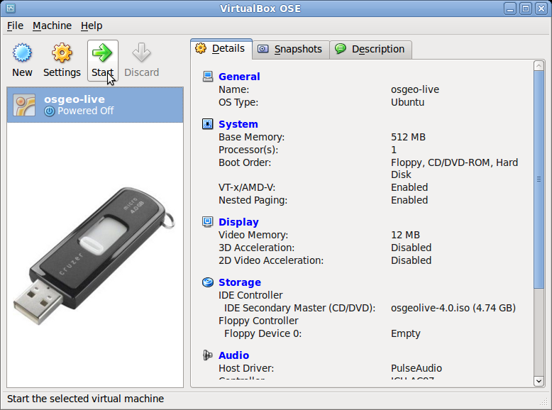
DVD / USB / Macchina virtuale
Criteri di Qualità
Software consolidati, stabili e funzionanti
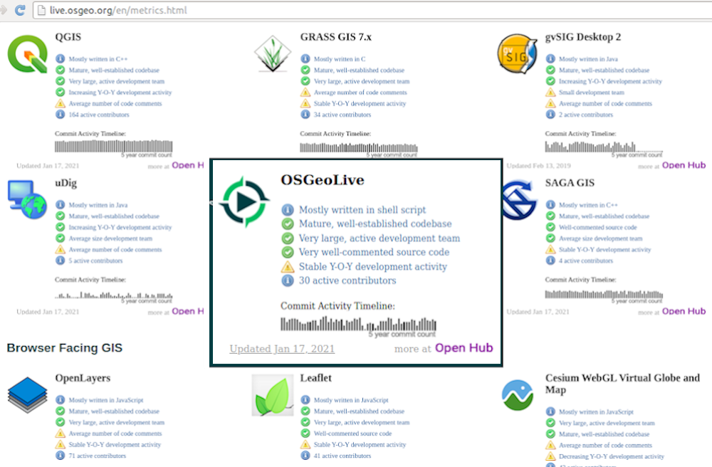
Active community Metrics
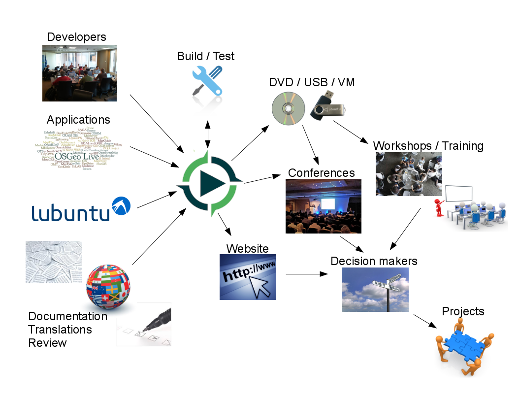
Pipeline di produzione e marketing
Open Source Geospatial Foundation (OSGeo)
OSGeo
Non Profit for geospatial community, fostering
Software Libero e Open Source
Standard Aperti
Open Education
Open Research
Open Data
Una distribuzione GNU/Linux Open Source Geospaziale

Standard OGC
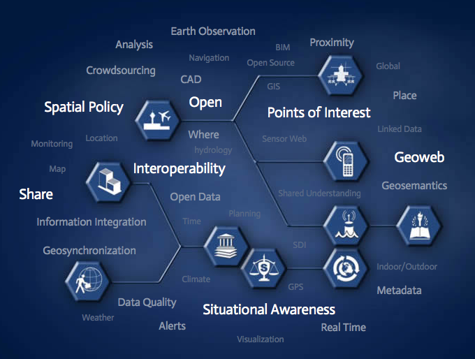
Interoperabilità
Future Proof
Ritorno sull’investimento
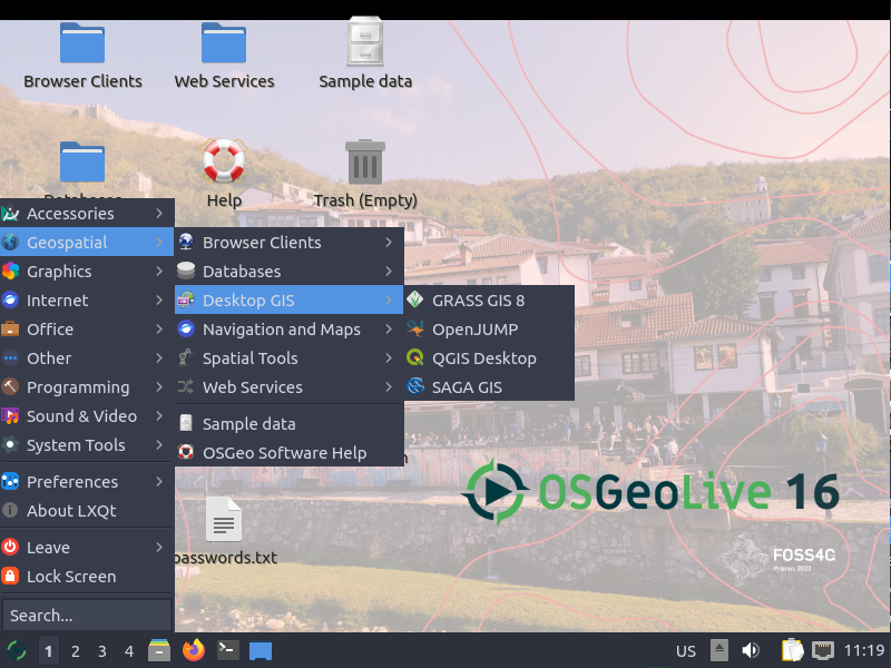
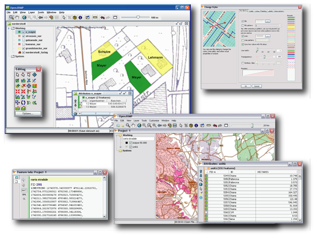
Desktop GIS
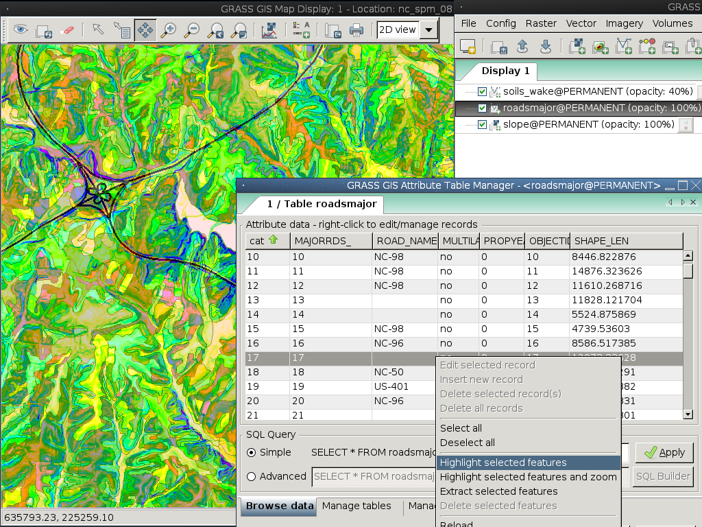
GRASS GIS
gvSIG Desktop
QGIS
OpenJUMP GIS
QField
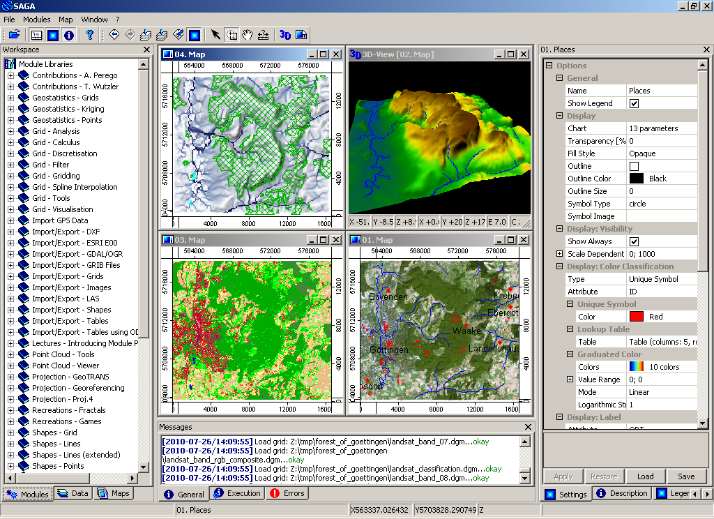
SAGA
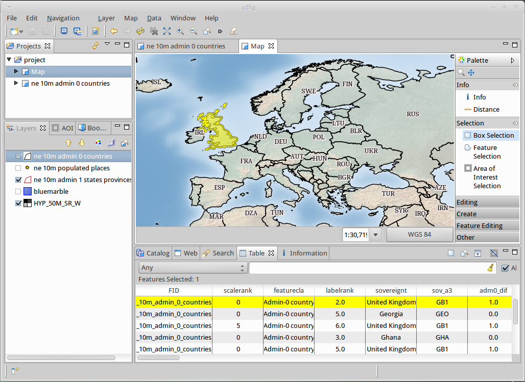
uDig
GRASS GIS
gvSIG Desktop
QGIS
OpenJUMP GIS
QField
SAGA
uDig
Client WebGIS
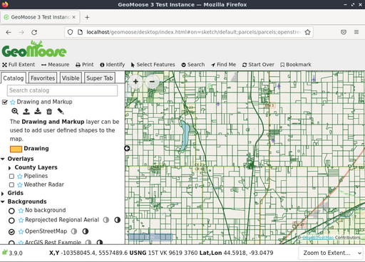
GeoMoose
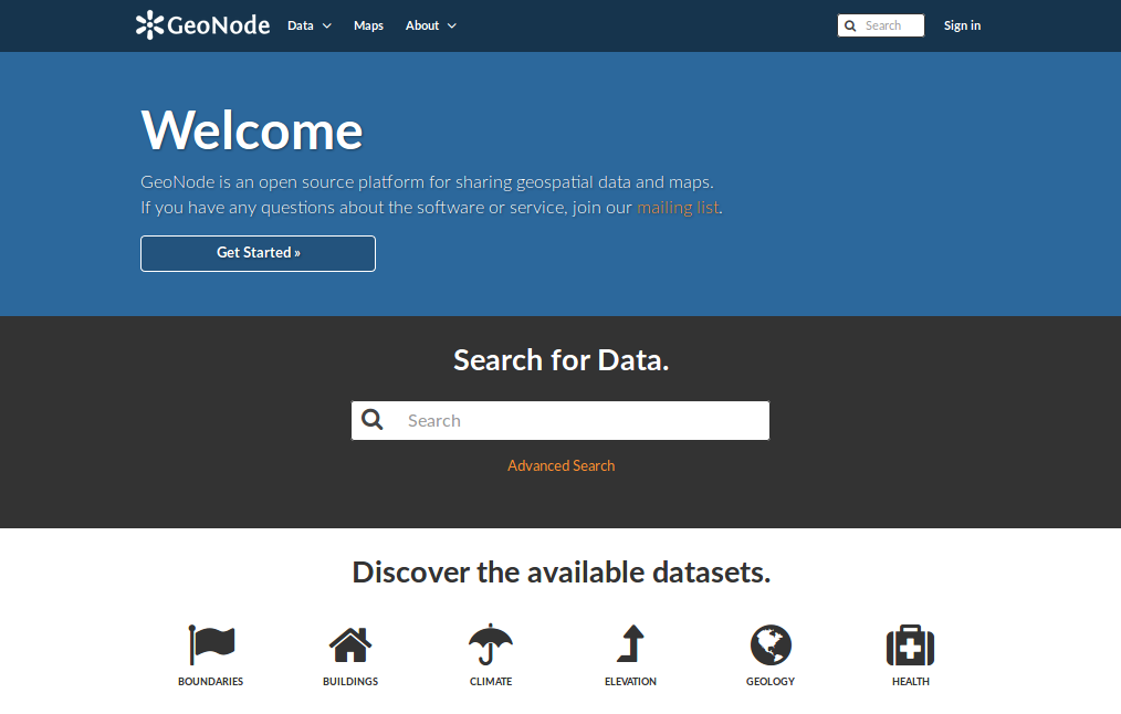
GeoNode
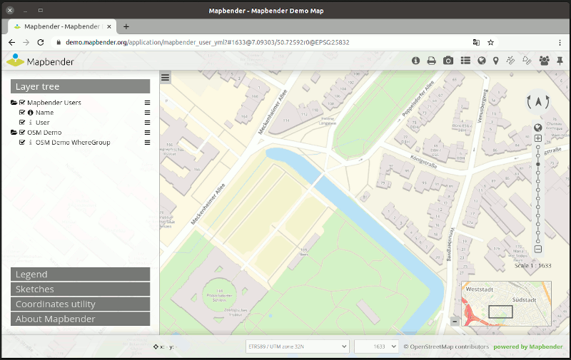
Mapbender
OpenLayers
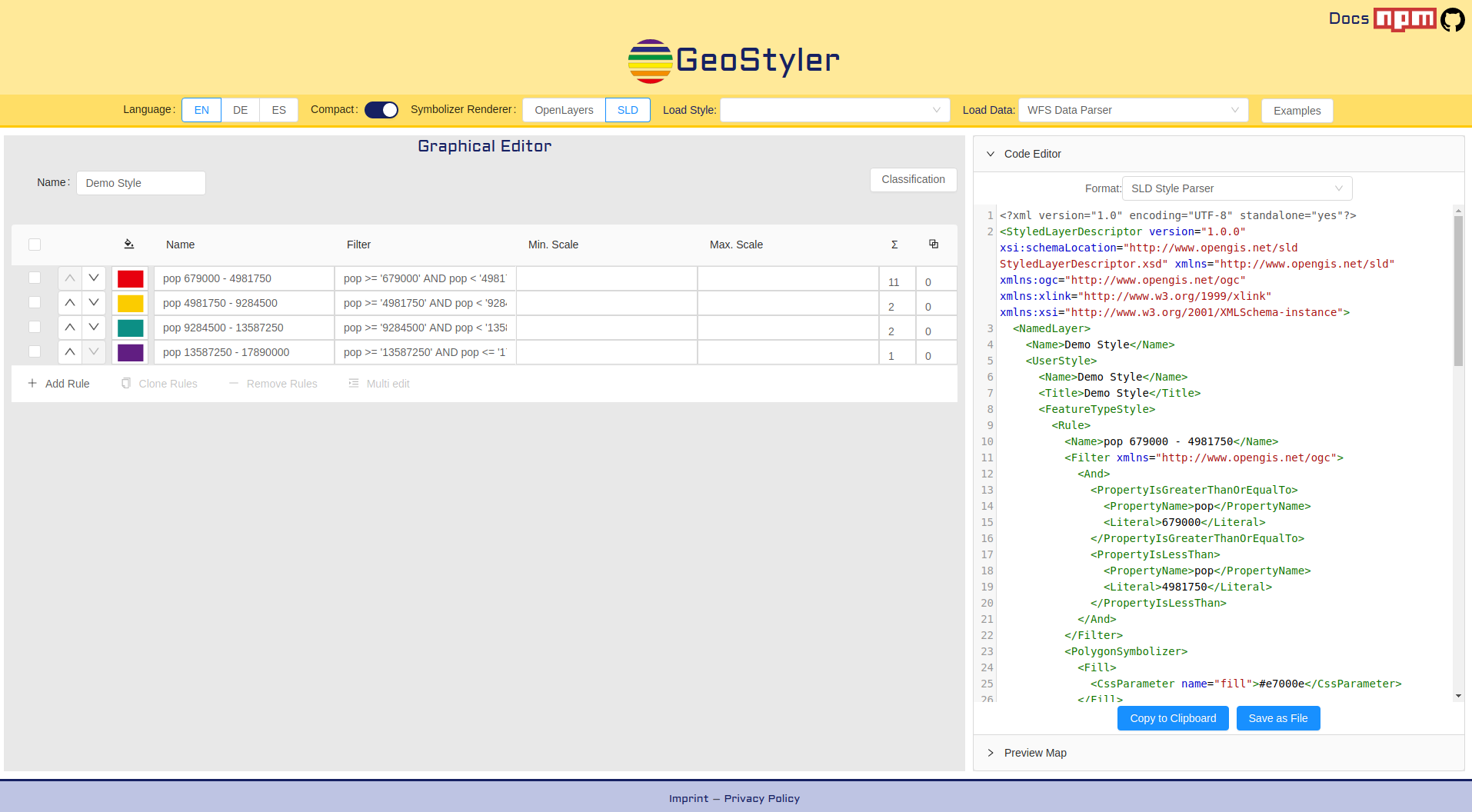
GeoStyler
Cesium
GeoExt
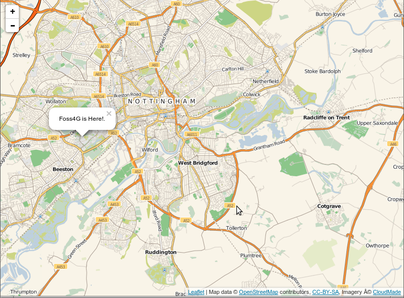
Leaflet
GeoMoose
GeoNode
Mapbender
OpenLayers
GeoStyler
Cesium
GeoExt
Leaflet
Servizi Web
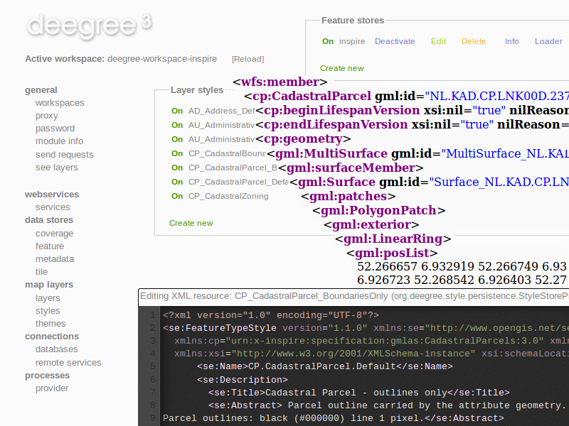
deegree
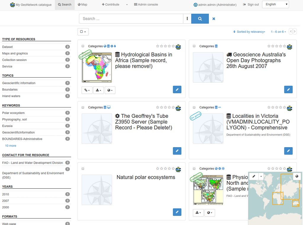
GeoNetwork
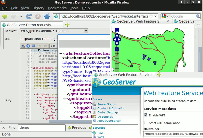
GeoServer
MapCache
MapServer
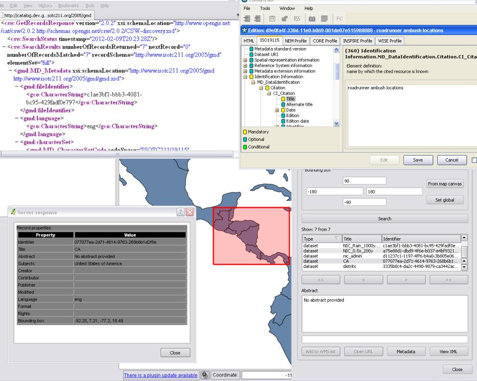
pycsw
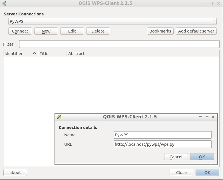
PyWPS
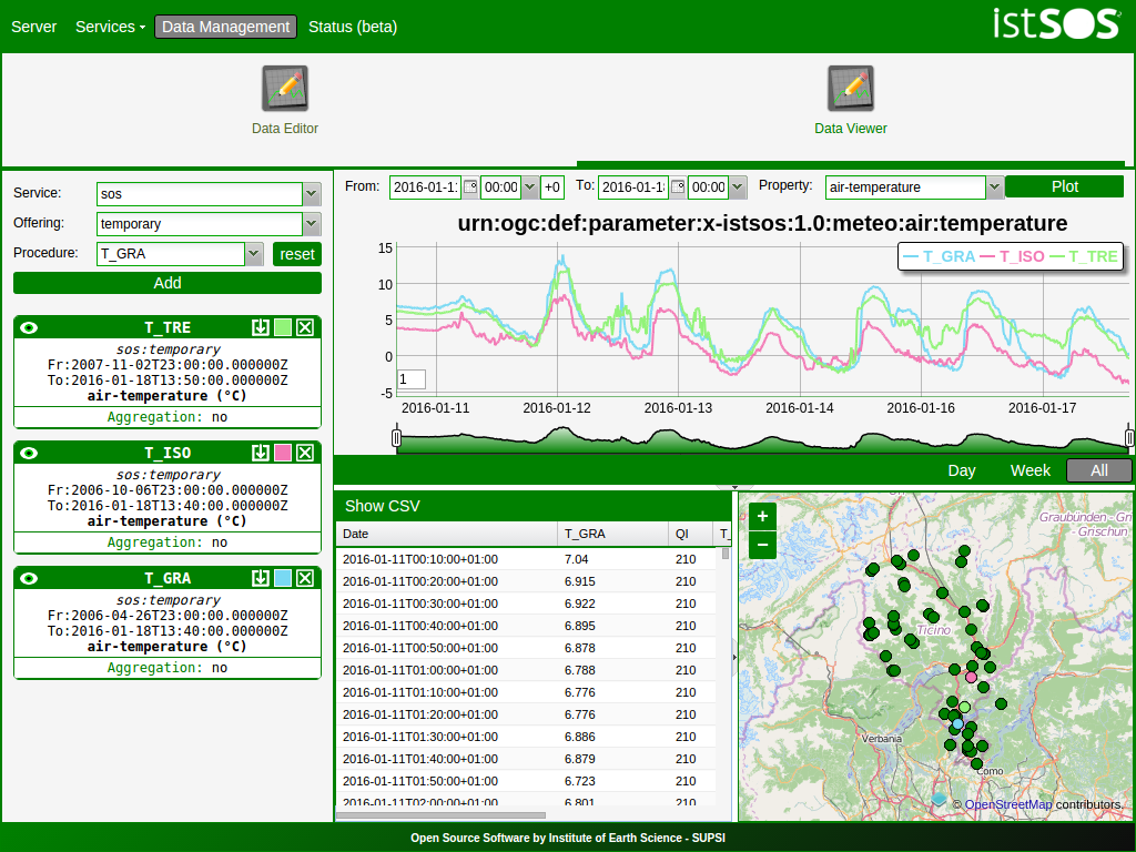
istSOS
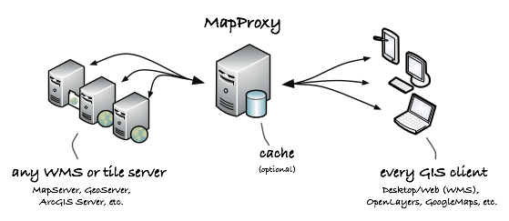
MapProxy
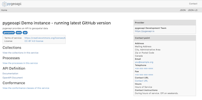
pygeoapi
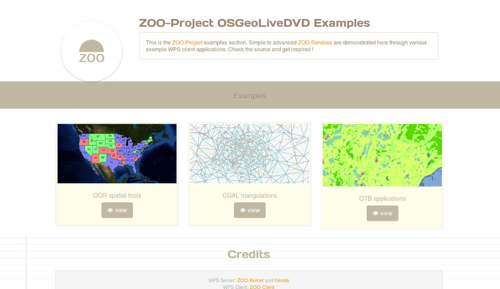
Zoo Project
actinia
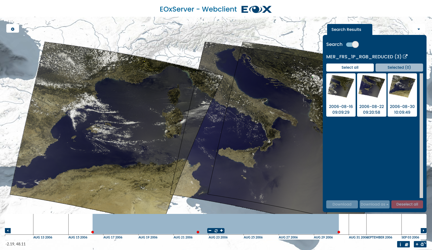
EOxServer
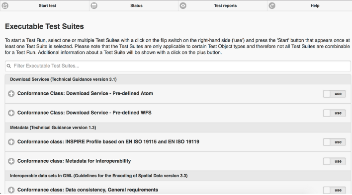
ETF
QGIS Server
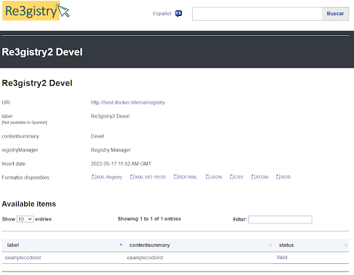
Re3gistry
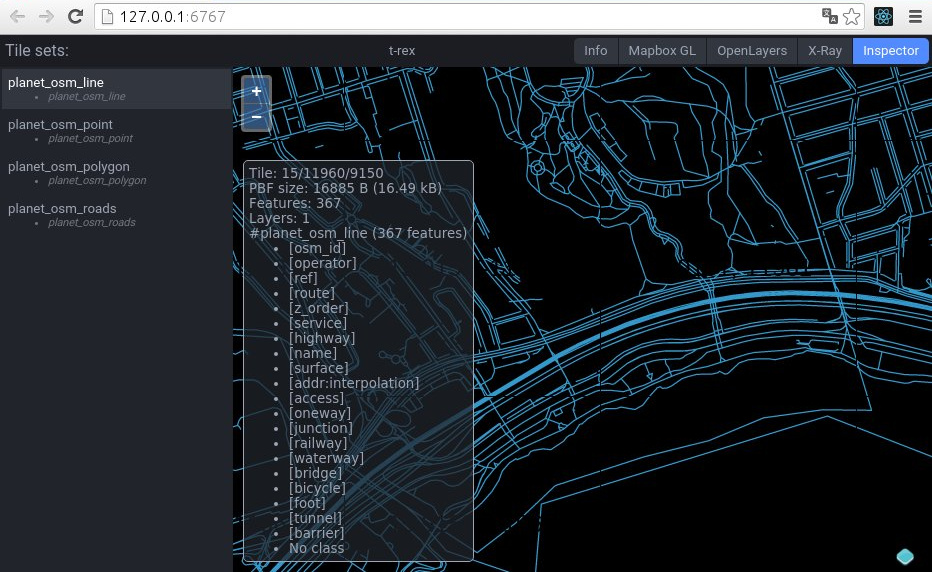
t-rex
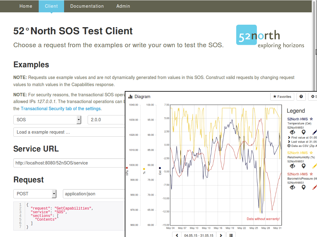
52 North SOS
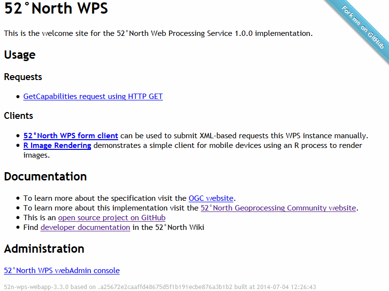
52 North WPS
deegree
GeoNetwork
GeoServer
MapCache
MapServer
pycsw
PyWPS
istSOS
MapProxy
pygeoapi
Zoo Project
actinia
EOxServer
ETF
QGIS Server
Re3gistry
t-rex
52 North SOS
52 North WPS
Archivi di Dati
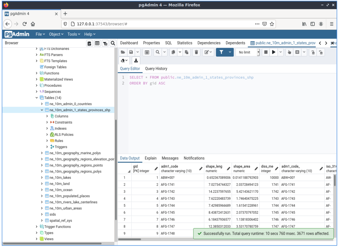
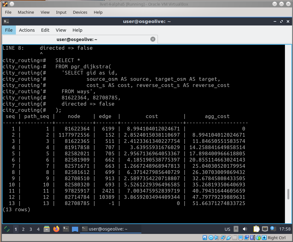
PostGIS
pgRouting
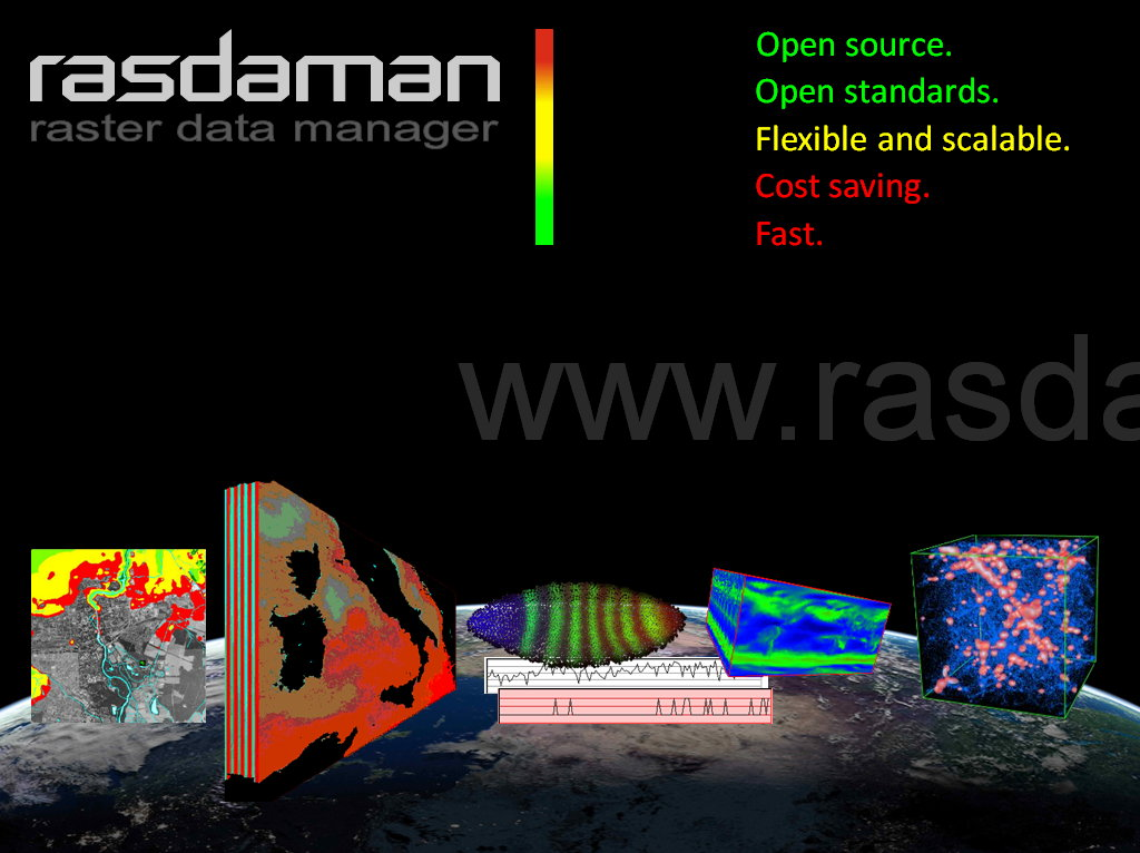
Rasdaman ·
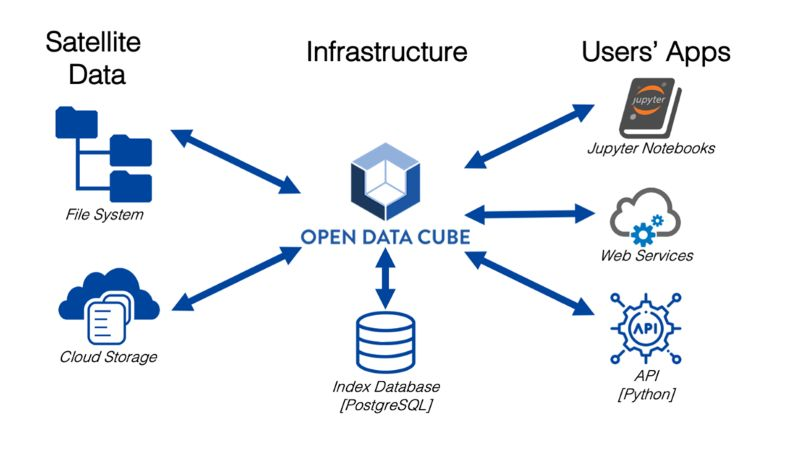
Open Data Cube
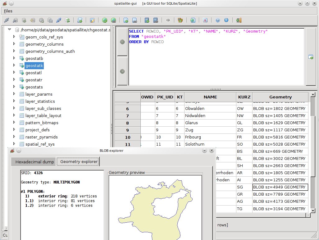
SpatiaLite
PostGIS
pgRouting
Rasdaman ·
Open Data Cube
SpatiaLite
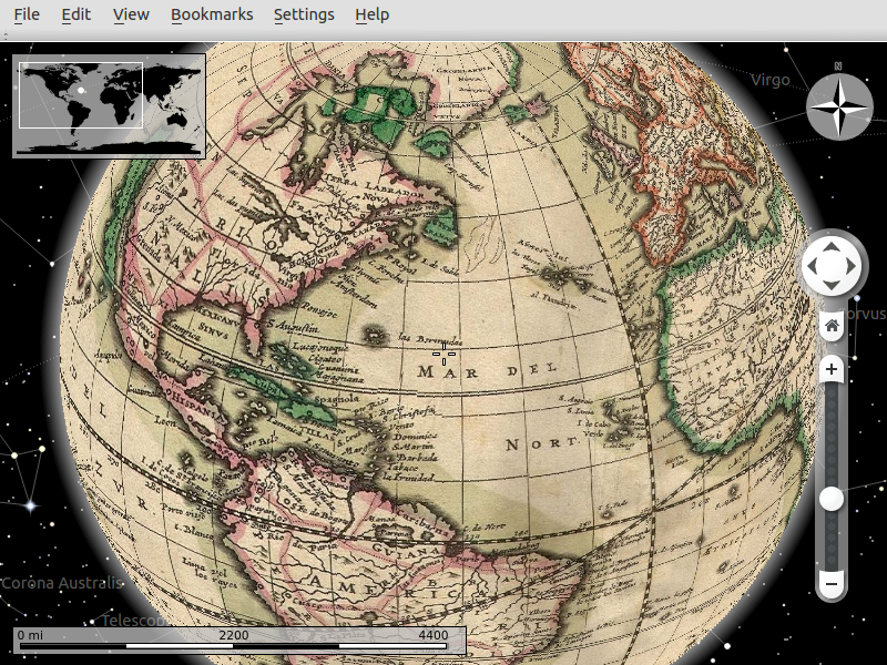
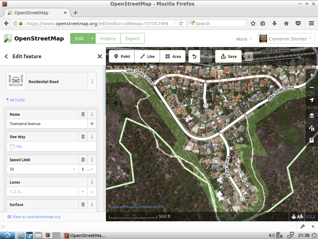
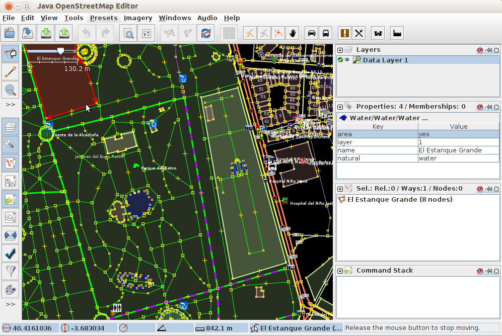
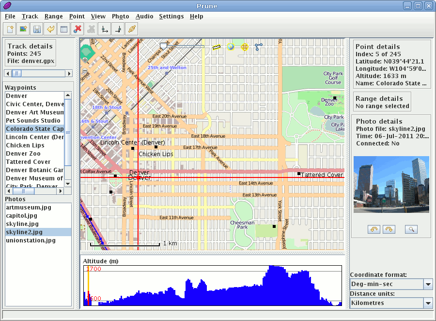
Navigazione e Mappe
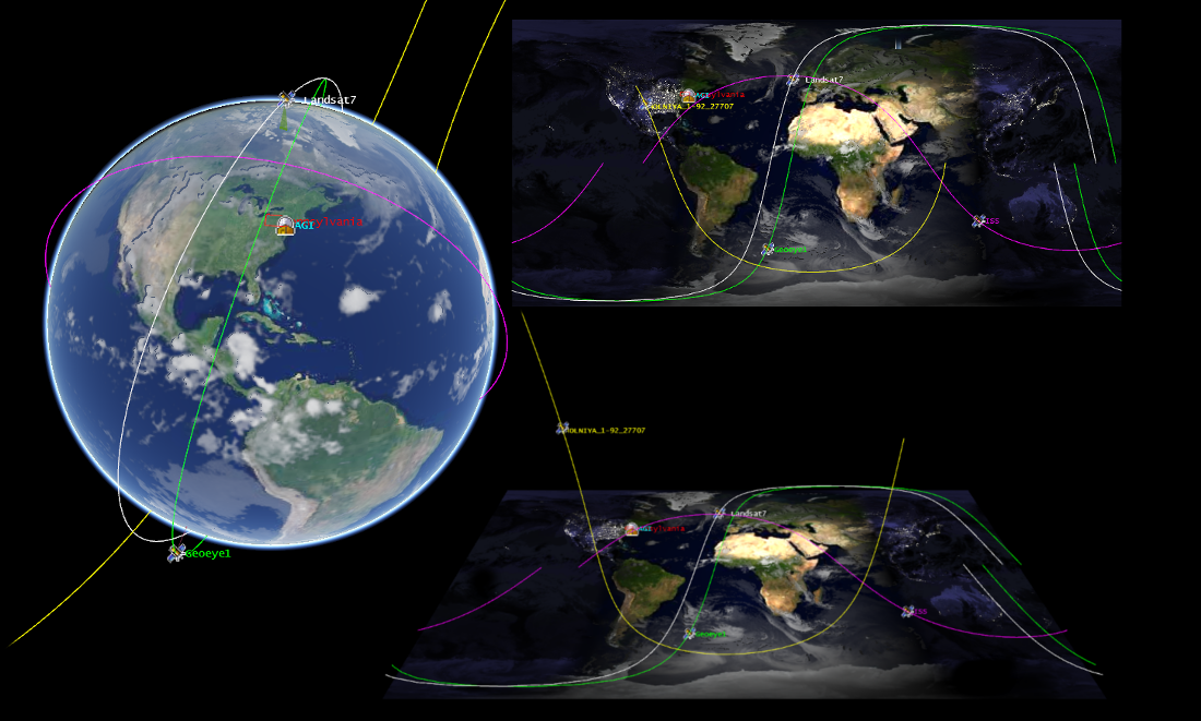
Marble
iD editor
JOSM
GpsPrune
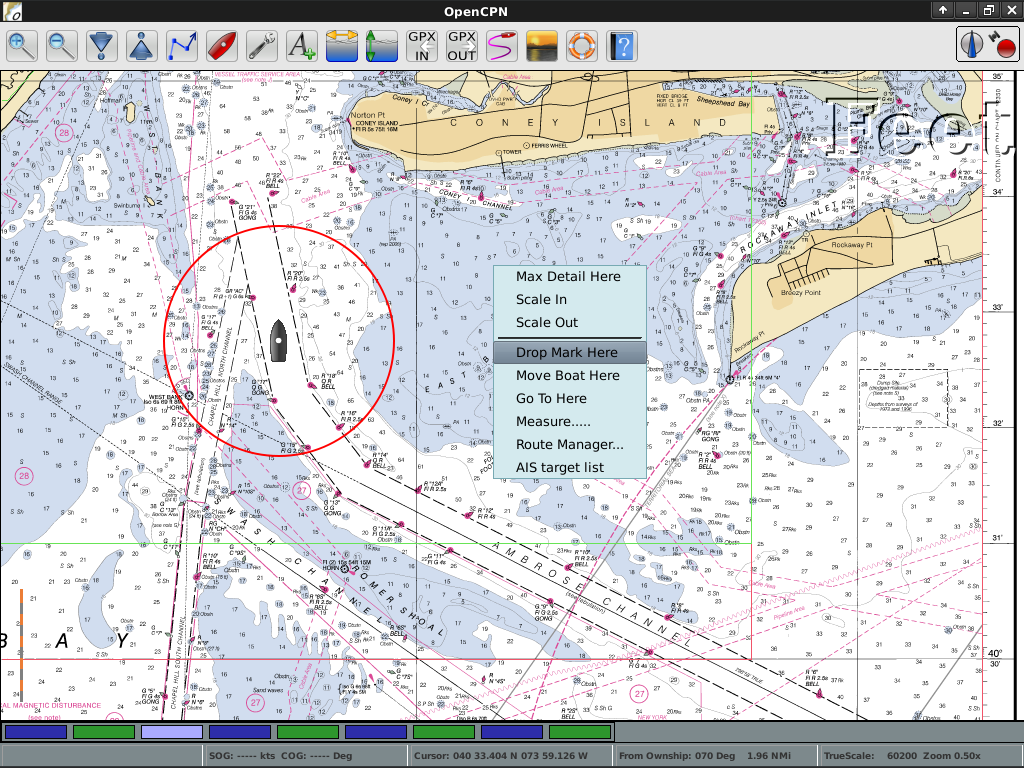
OpenCPN
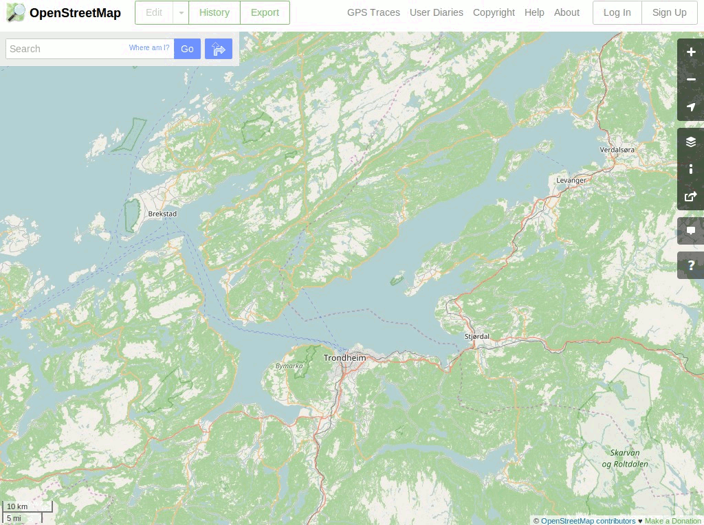
OpenStreetMap
Marble
iD editor
JOSM
GpsPrune
OpenCPN
OpenStreetMap

Strumenti Spaziali
OTB
GMT
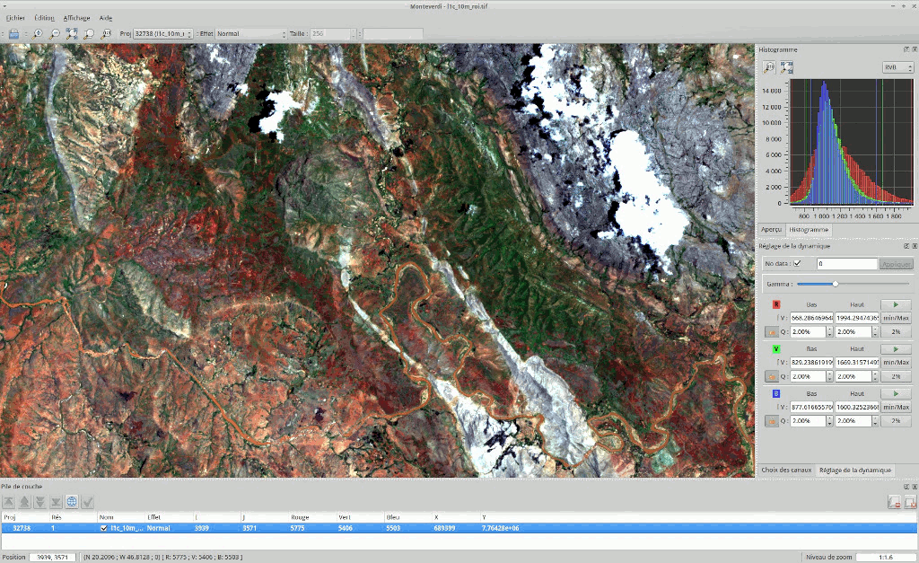
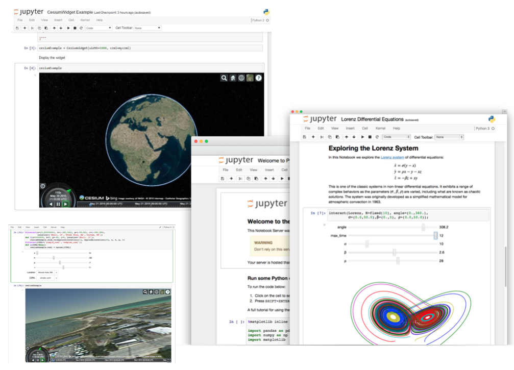
Notebook Jupyter
Mapnik
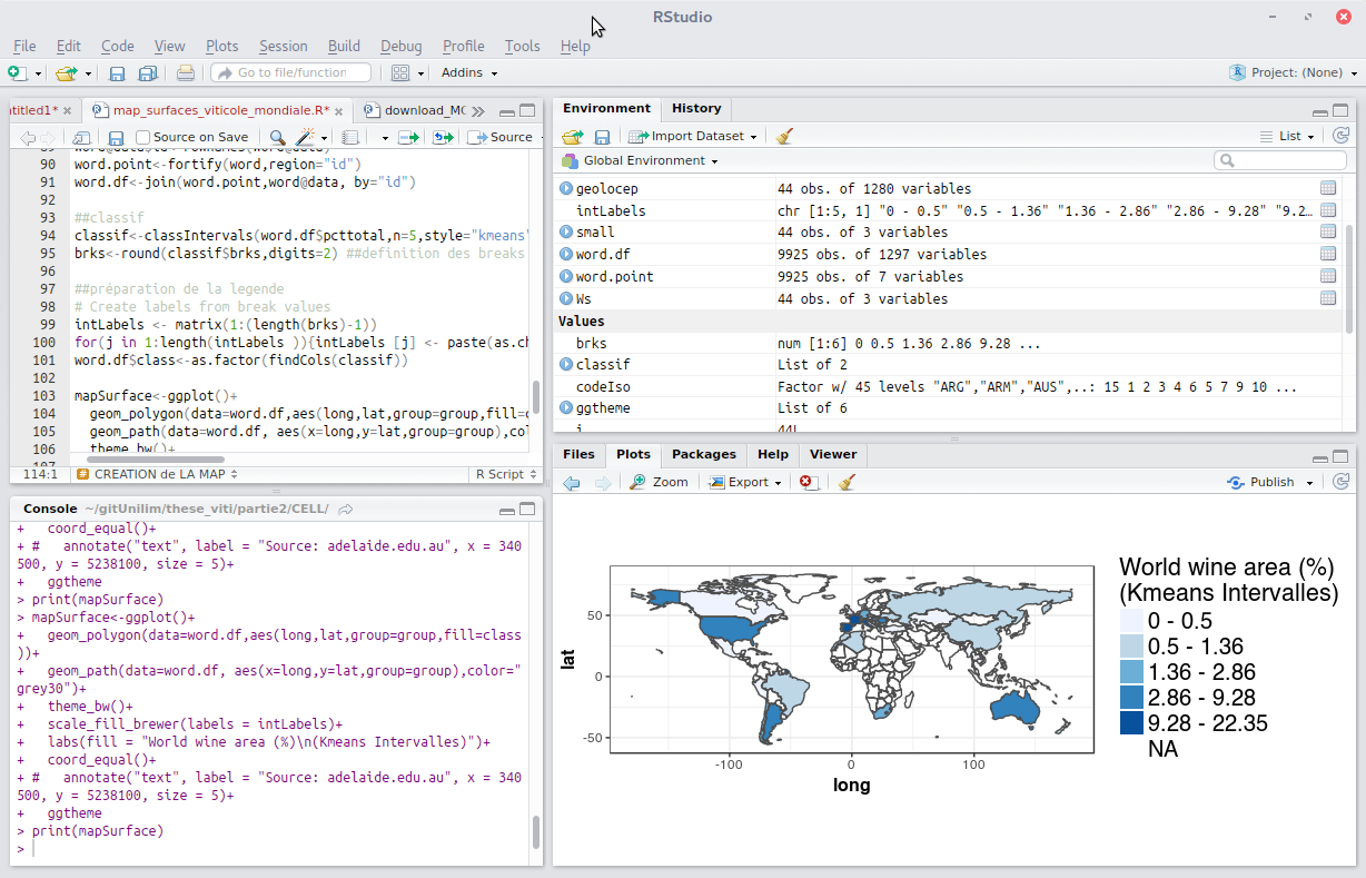
R
OTB
GMT
Notebook Jupyter
Mapnik
R
GIS per un uso specifico
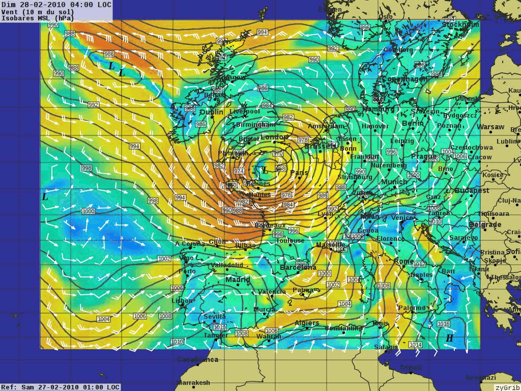
XyGrib
XyGrib
Dati
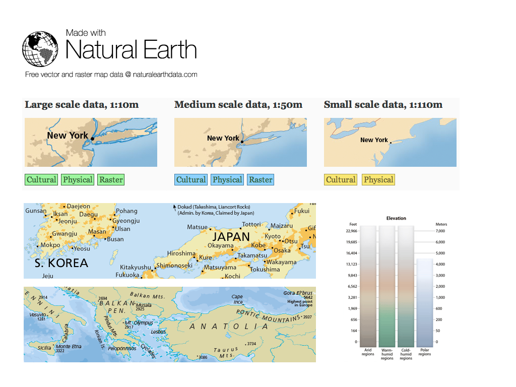
Natural Earth
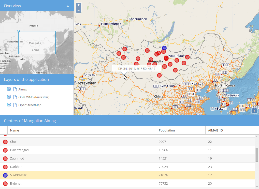
North Carolina, dataset educazionale USA
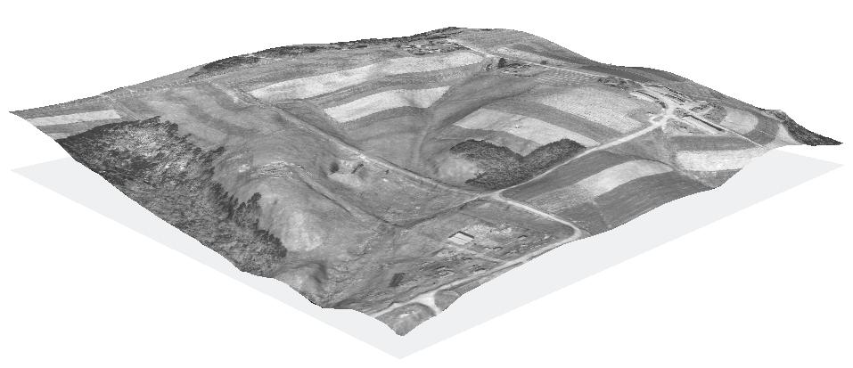
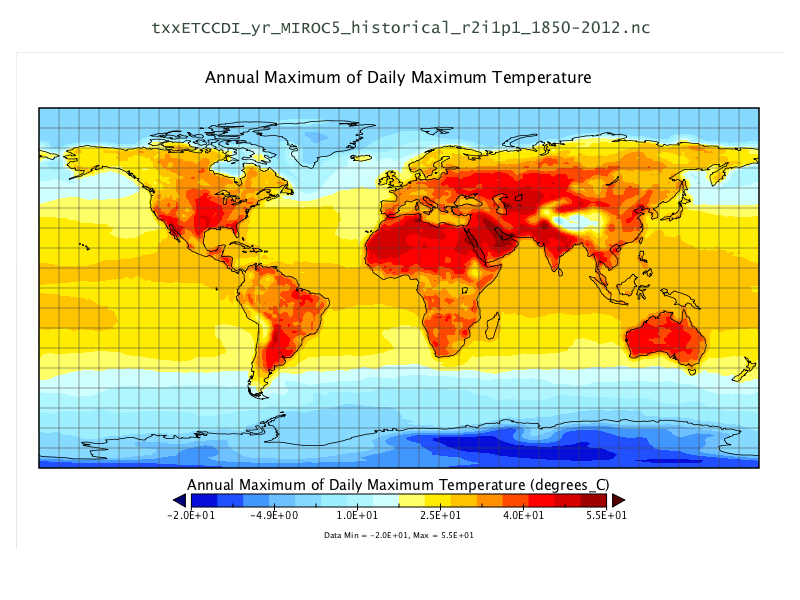
Set di dati NetCDF
OpenStreetMap
Natural Earth
North Carolina, dataset educazionale USA
Set di dati NetCDF
OpenStreetMap
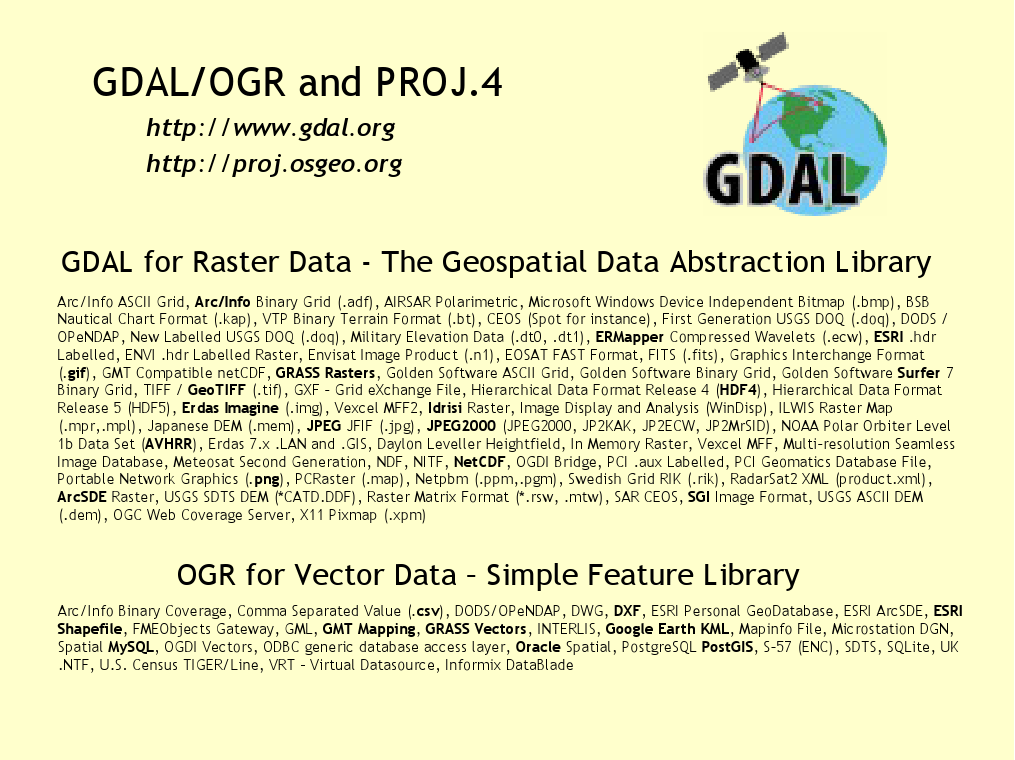
Librerie geospaziali
GDAL/OGR
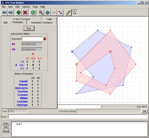
GEOS
GeoTools
PROJ
JTS
GDAL/OGR
GEOS
GeoTools
PROJ
JTS
Crediti
Sviluppatori e manutentori di progetti
Autori e revisori della documentazione
Traduttori
Steering Committee del Progetto
Angelos Tzotsos (Chair)
Brian M Hamlin
Alex Mandel
Johan Van de Wauw
Bas Couwenberg
Massimo De Stefano
Astrid Emde
Nicolas Roelandt
Vicky Vergara
Enock Seth Nyamador
Partecipa
Diventa membro della nostra squadra
Iscriviti alla nostra Mailing List e presentati
Partecipa ai nostri incontri settimanali in IRC (canale #osgeolive su Libera.Chat
Ci sono due modi per contribuire
Contribuisci a migliorare il sito web OSGeoLive e la documentazione
Sottoponi nuovi progetti
Migliorare la Documentazione di OSGeoLive
Rileggere, testare e correggere le guide rapide e le panoramiche
C’è una buona possibilità di conoscere software interessanti!
Traduci e migliora la documentazione
Translation is made in OSGeo Weblate
I Capitoli Locali possono essere facilmente coinvolti
Non è necessaria alcuna esperienza tecnica
Prova OSGeoLive
Cloud deployments
Prova OSGeoLive
Prova OSGeoLive
Join us at the FOSS4G 2023 Community Sprint
01.-02. of July 2023
Sponsor
OSGeo |
UCD ICE |
DebianGIS |
|
|
|


Prova OSGeoLive