OSGeoLive

Version: 16.0
Released: Noviembre 2023
Presione “s” para las notas de la diapositiva, ESC para alejar, ESPACIO / teclas de flecha para navegar.
Las ventanas emergentes están bloqueadas en algunos navegadores debido a la configuración de seguridad. Pruebe Firefox o Safari.
Una distribución geoespacial GNU/Linux de código abierto
Encuentre esta presentación
What is new in 16.0
What is new in 16.0
Updated to Lubuntu 22.04.2 LTS
What is new in 16.0
Paquetes principales actualizados basados en DebianGIS
What is new in 16.0
QGIS 3.28.5,
GDAL 3.6.4,
PROJ 9.1.1,
PostGIS 3.3.3,
GRASS 8.2.1,
GeoServer 2.22.2,
MapServer 8.0.1,
Y muchos más
What is new in 16.0
New projects added: OpenDataCube and QField
What is new in 16.0
Descargue OSGeoLive ISO o VMDK (con aún más software)
What is new in 16.0
Actualizaciones de la documentación
What is new in 16.0
OSM data for Prizren
What is new in 16.0
Paquetes actualizados devueltos a`UbuntuGIS <href=»https://wiki.ubuntu.com/UbuntuGIS»>`__
What is new in 16.0
Registro de Cambios Completo
¿Qué es OSGeoLive?
Componentes en OSGeoLive
Más de 50 aplicaciones geoespaciales de código abierto
Descripciones generales y inicios rápidos coherentes
Conjuntos de datos de ejemplo
Traducciones
DVD / USB / Máquina virtual
Criterios de calidad
Software establecido, estable y funcional
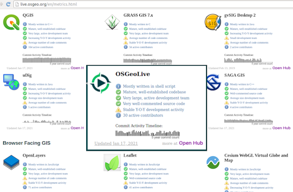
Comunidad activa Metricas
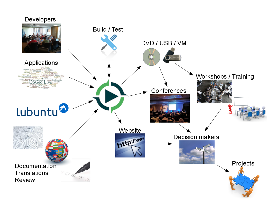
Pipeline de Producción y Marketing
Fundación Geoespacial de Código Abierto (OSGeo)
OSGeo
Sin fines de lucro para la comunidad geoespacial, fomentando
Software libre y de código abierto
Estándares Abiertos
Educación Abierta
Investigación abierta
Datos Abiertos
Una distribución geoespacial GNU/Linux de código abierto

Estándares OGC
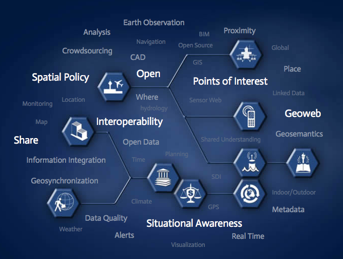
Interoperabilidad
A prueba de futuro
Retorno de la inversión
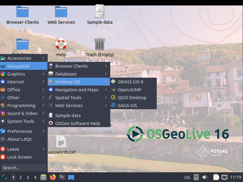
SIG de Escritorio
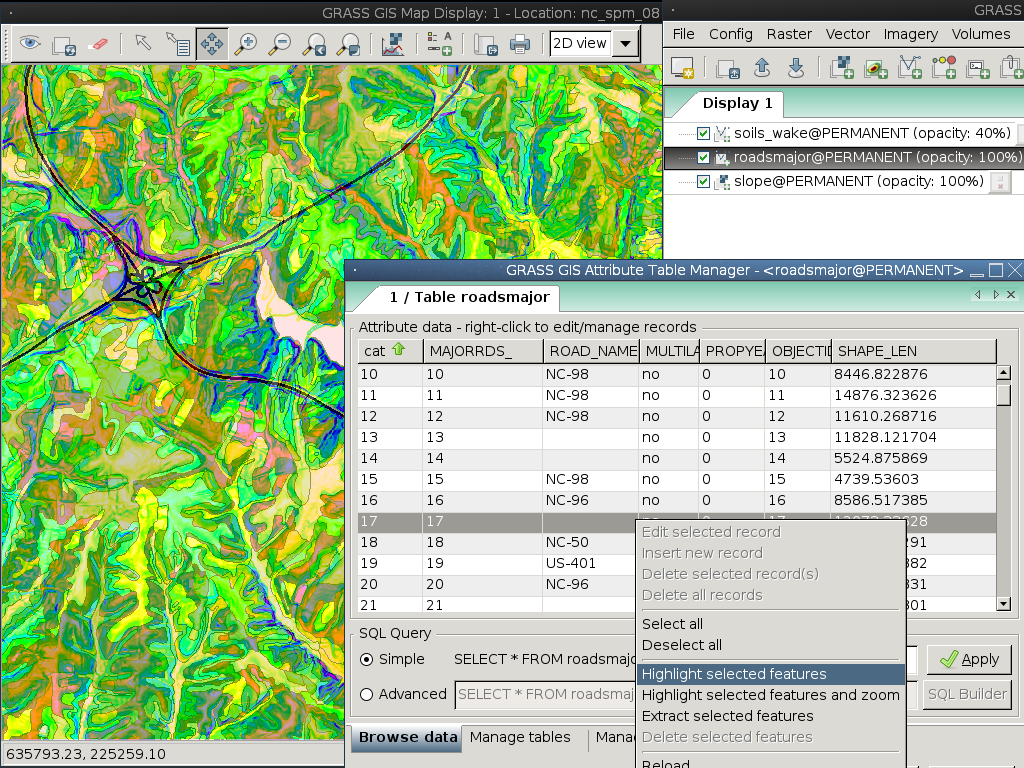
GRASS SIG
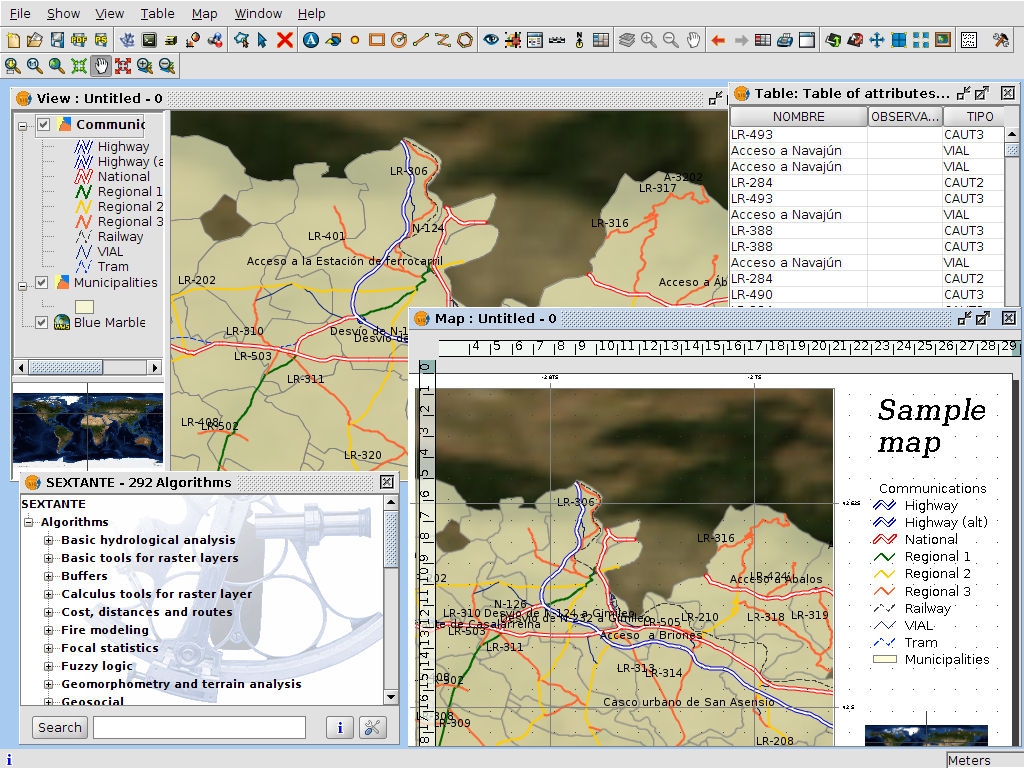
gvSIG Desktop
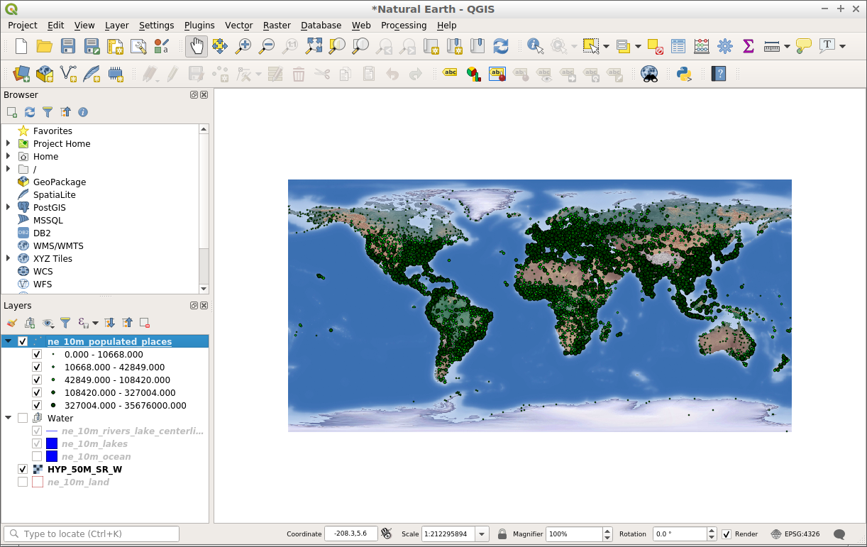
QGIS
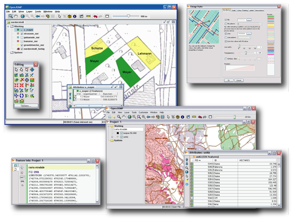
OpenJUMP SIG
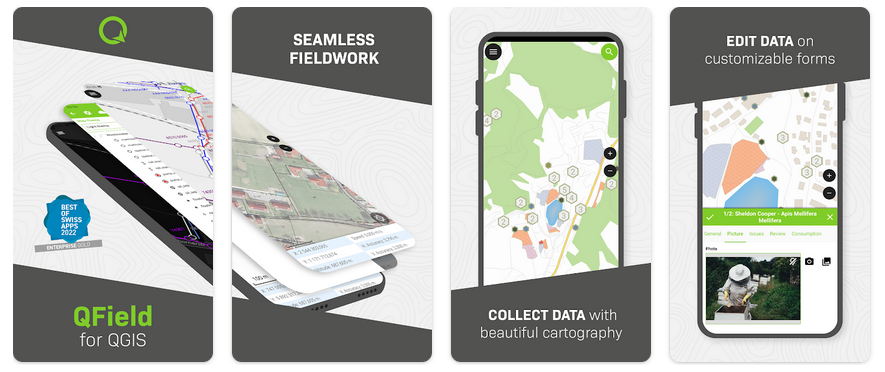
QField
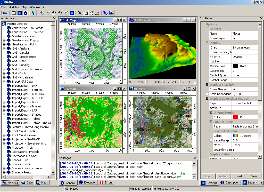
SAGA
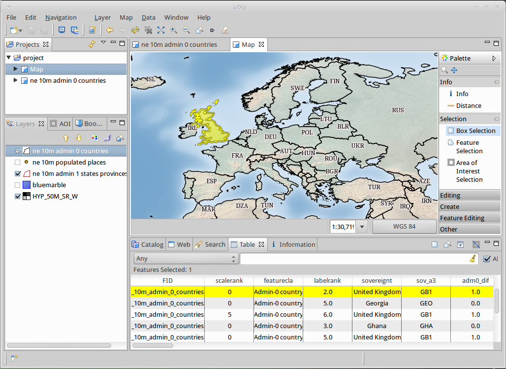
uDig
GRASS SIG
gvSIG Desktop
QGIS
OpenJUMP SIG
QField
SAGA
uDig
SIG en Navegador
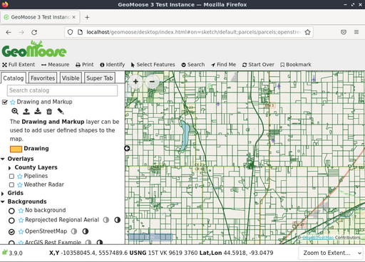
GeoMoose
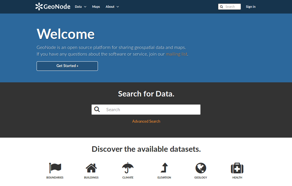
GeoNode
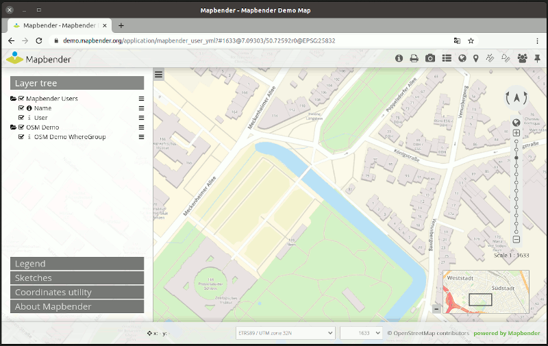
Mapbender
OpenLayers
GeoStyler
Cesium
GeoExt
Leaflet
GeoMoose
GeoNode
Mapbender
OpenLayers
GeoStyler
Cesium
GeoExt
Leaflet
Servicios web
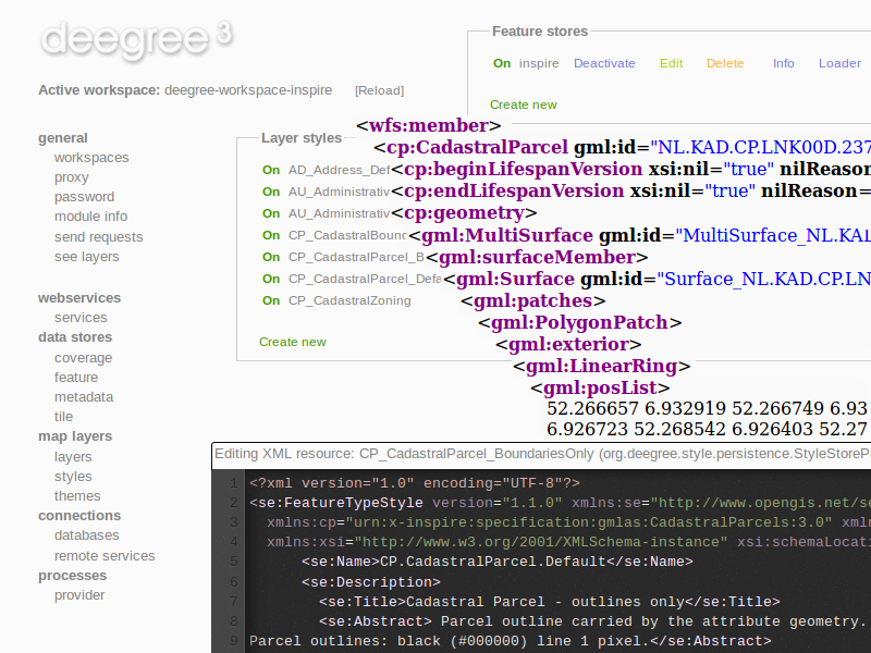
deegree
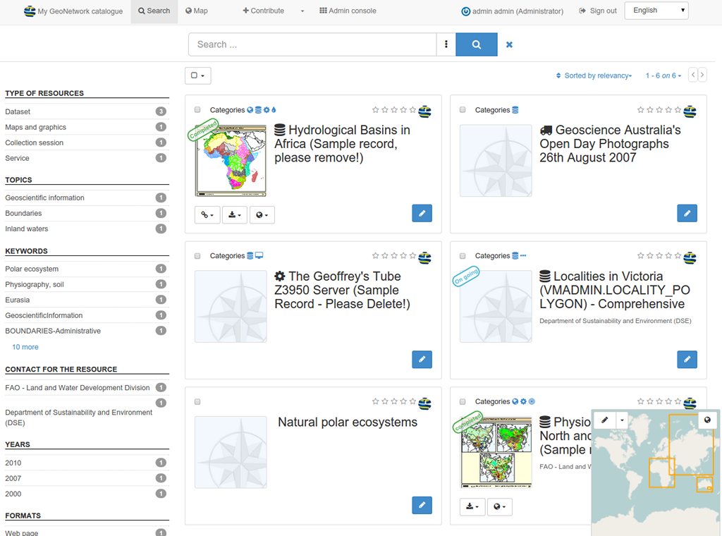
GeoNetwork
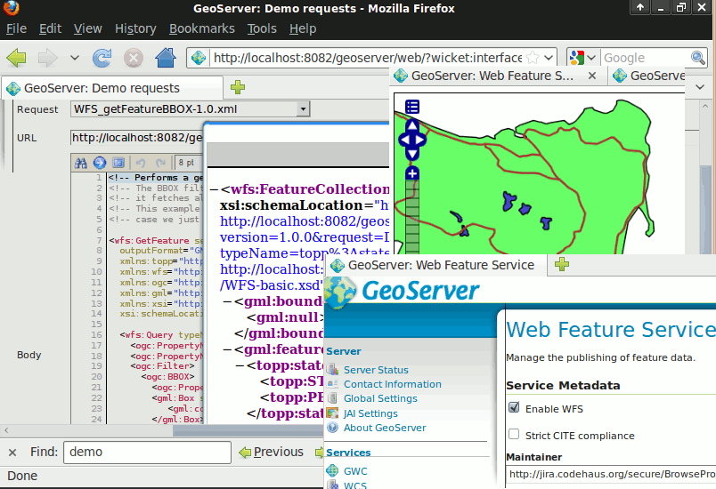
GeoServer
MapCache
MapServer
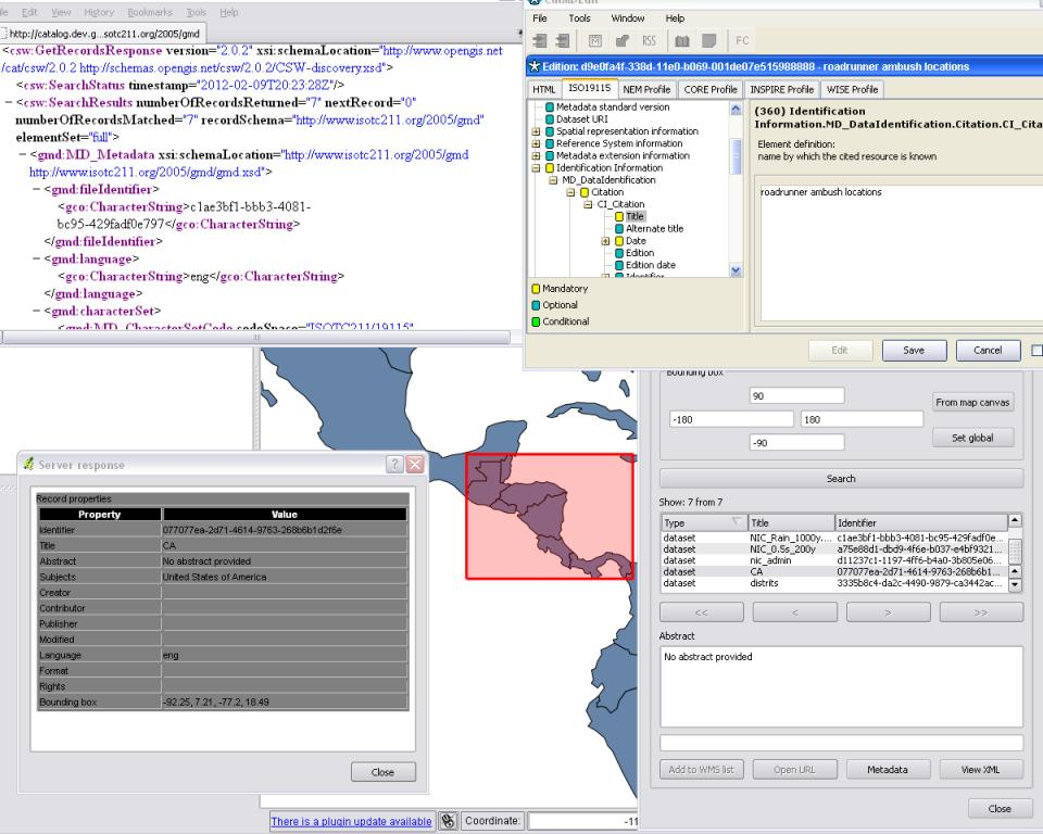
pycsw
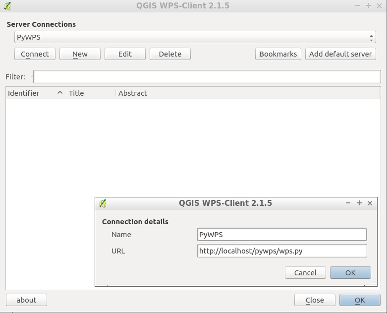
PyWPS
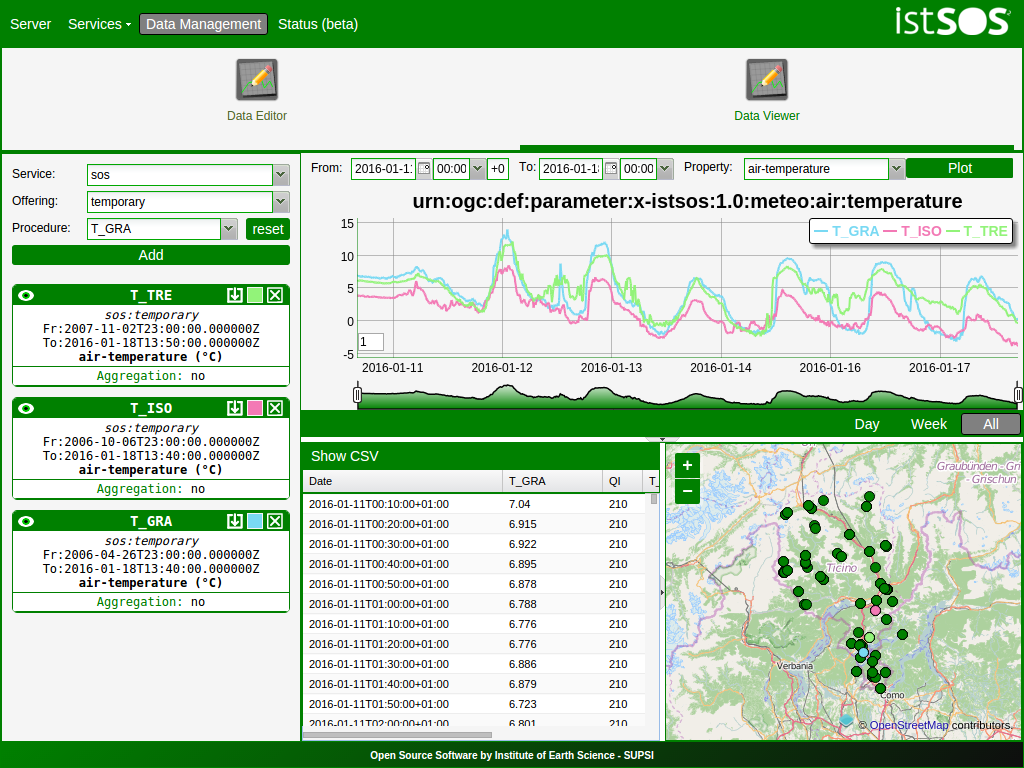
istSOS
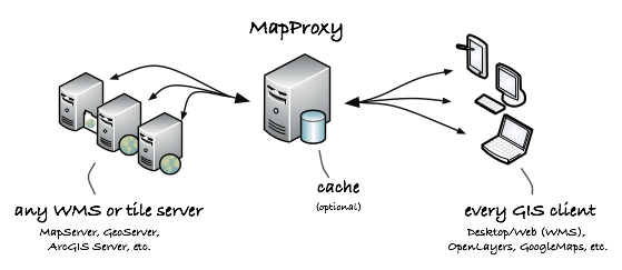
MapProxy
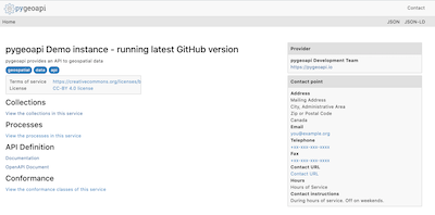
pygeoapi
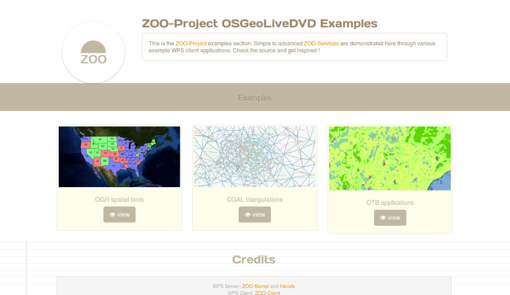
Zoo Project
actinia
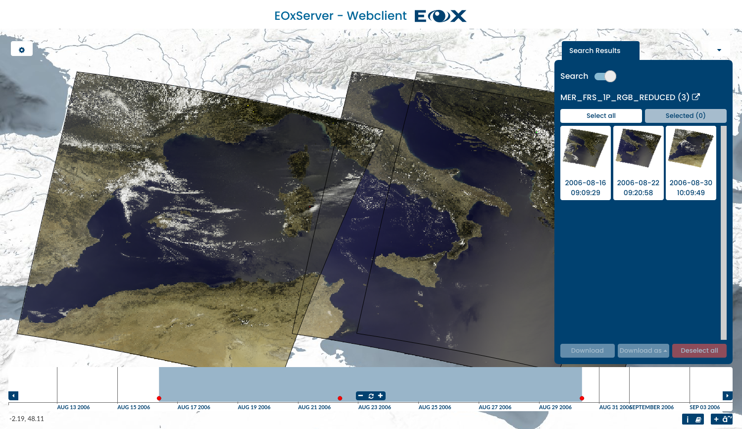
EOxServer
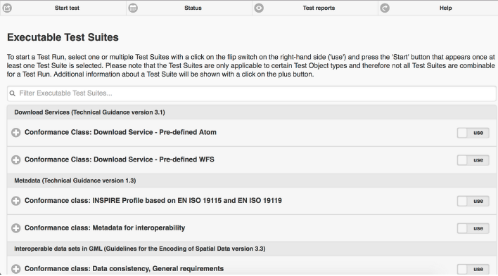
ETF
Servidor QGIS
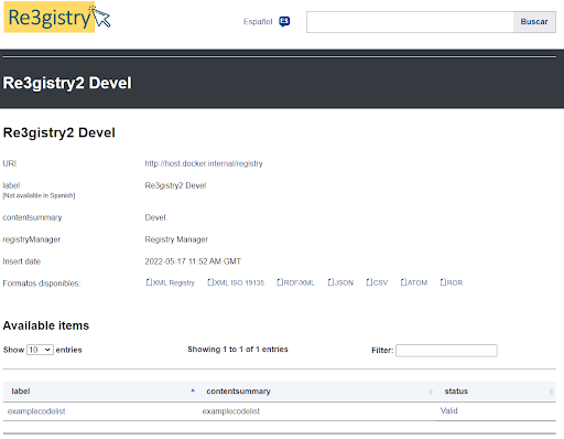
Re3gistry
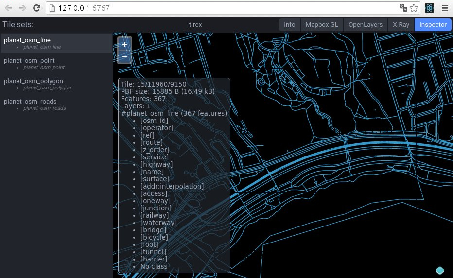
t-rex
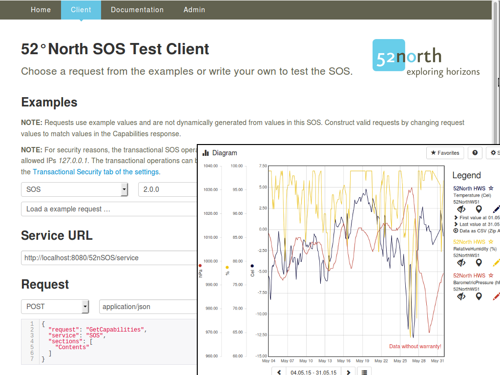
52 North SOS
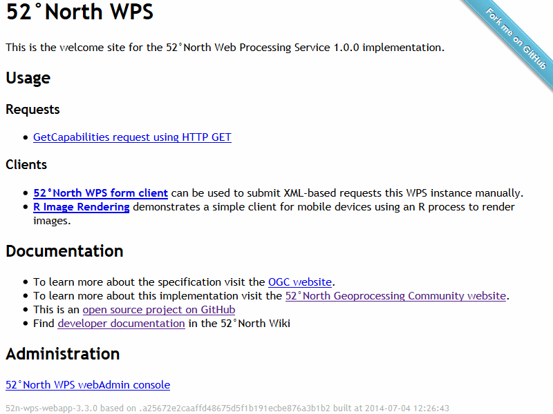
52 North WPS
deegree
GeoNetwork
GeoServer
MapCache
MapServer
pycsw
PyWPS
istSOS
MapProxy
pygeoapi
Zoo Project
actinia
EOxServer
ETF
Servidor QGIS
Re3gistry
t-rex
52 North SOS
52 North WPS
Almacenes de datos
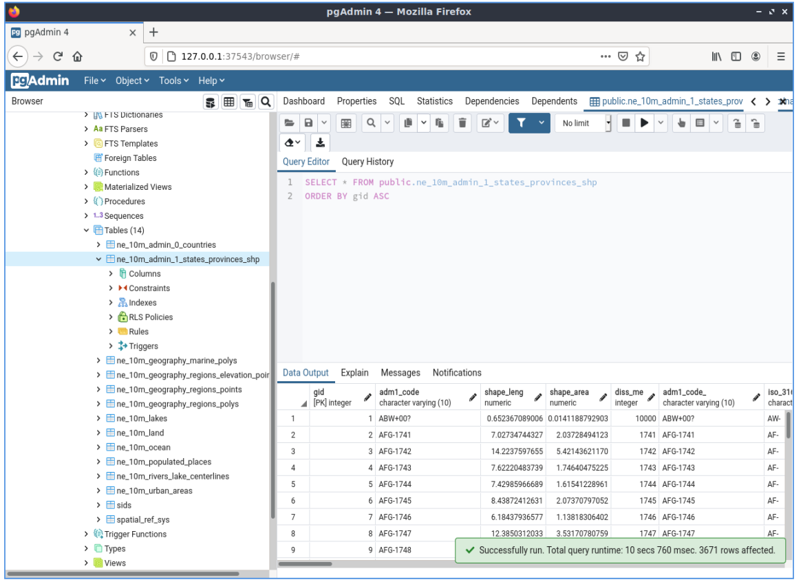
PostGIS
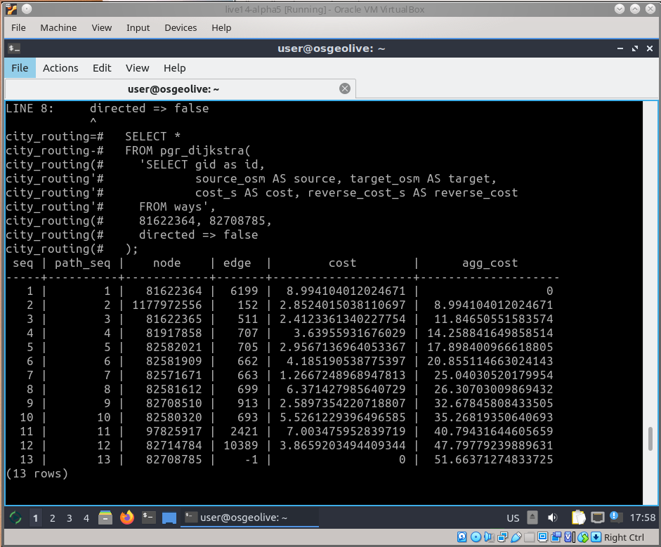
pgRouting
Rasdaman
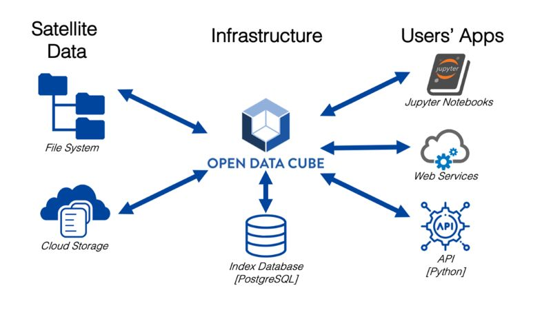
Open Data Cube
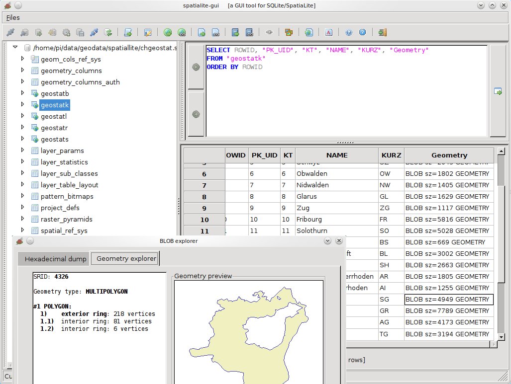
SpatiaLite
PostGIS
pgRouting
Rasdaman

Open Data Cube
SpatiaLite
Navegación y Mapas
Marble
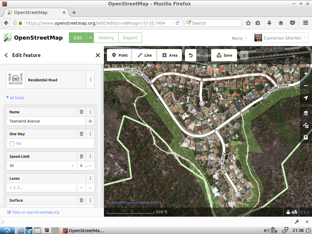
Editor iD
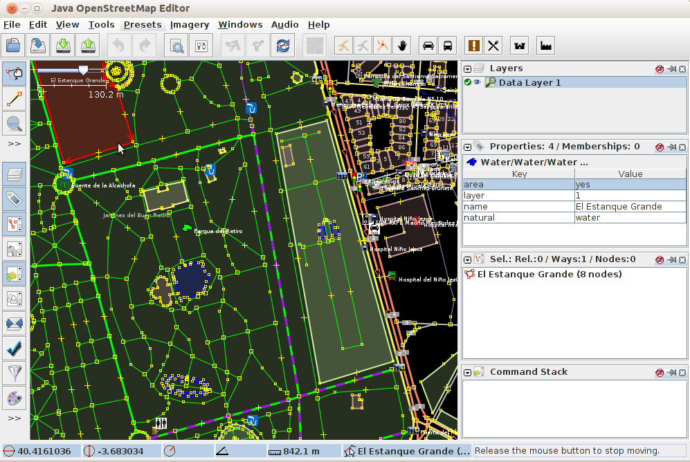
JOSM
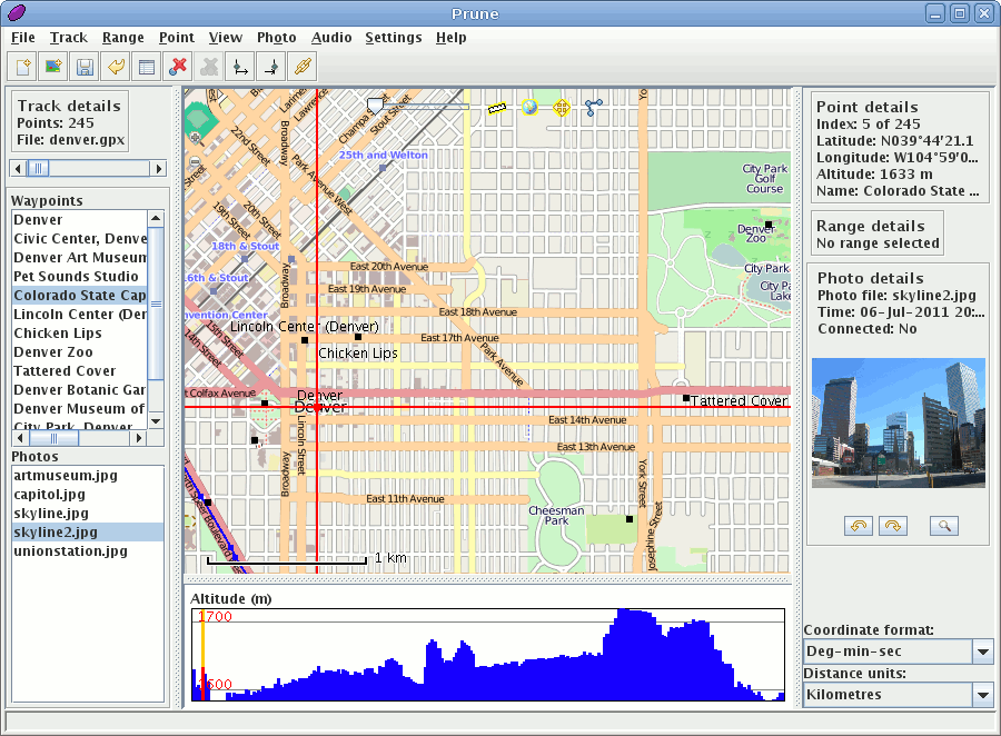
GpsPrune
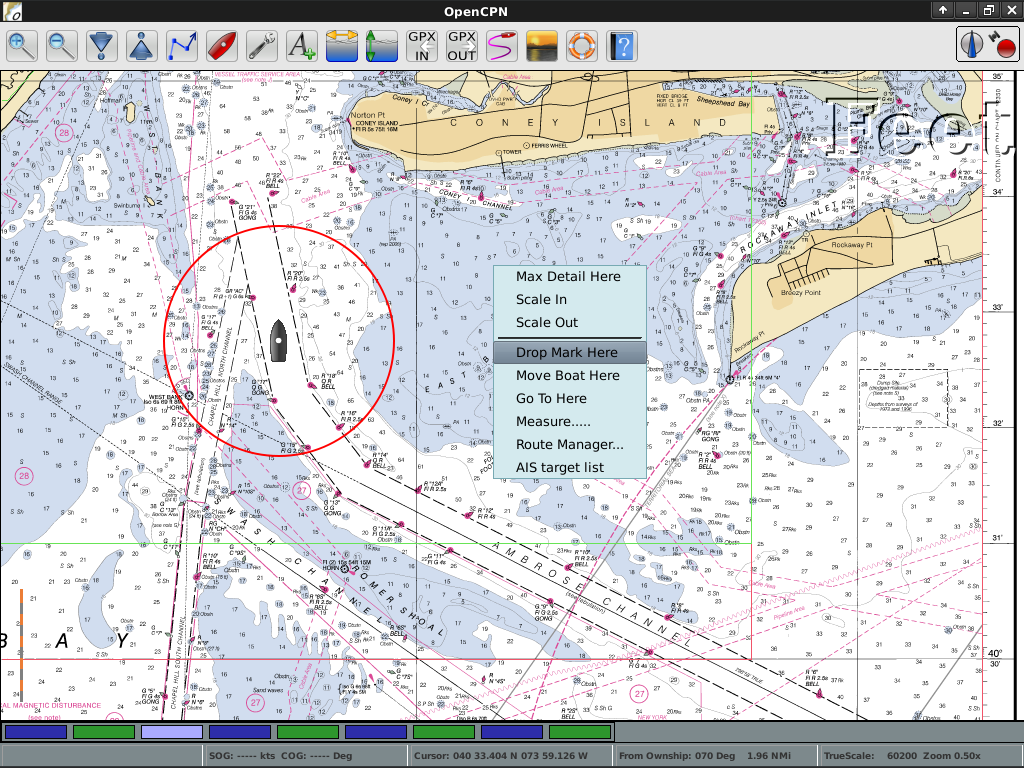
OpenCPN
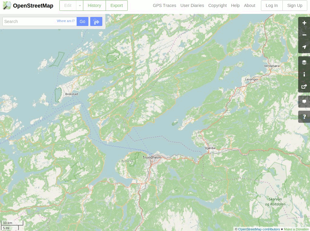
OpenStreetMap
Marble
Editor iD
JOSM
GpsPrune
OpenCPN
OpenStreetMap

Herramientas espaciales
OTB
GMT
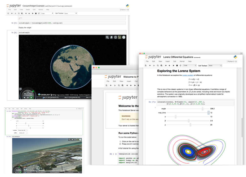
Jupyter Notebook
Mapnik
R
OTB
GMT
Jupyter Notebook
Mapnik
R
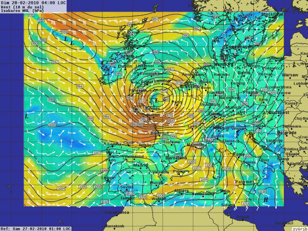
Dominio específico SIG
XyGrib
XyGrib
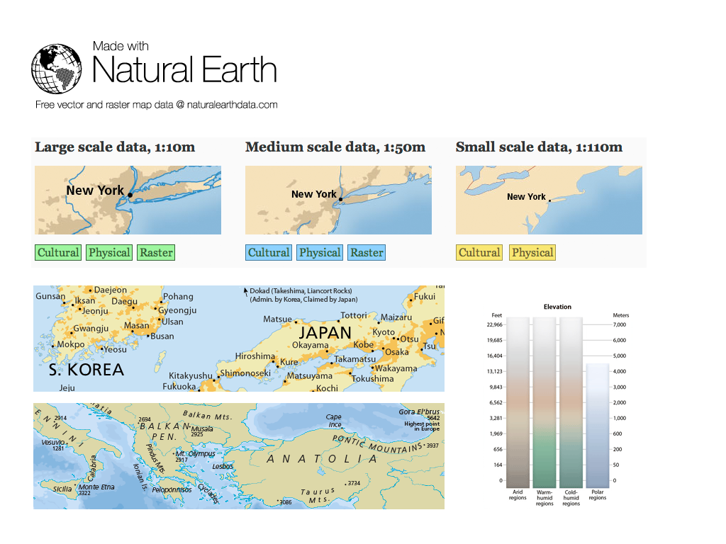
Datos
Natural Earth
Carolina del Norte USA Conjunto de datos educativo
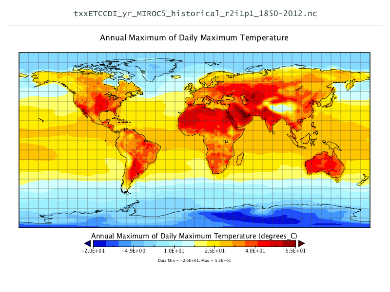
Conjunto de datos NetCDF
OpenStreetMap
Natural Earth
Carolina del Norte USA Conjunto de datos educativo
Conjunto de datos NetCDF
OpenStreetMap
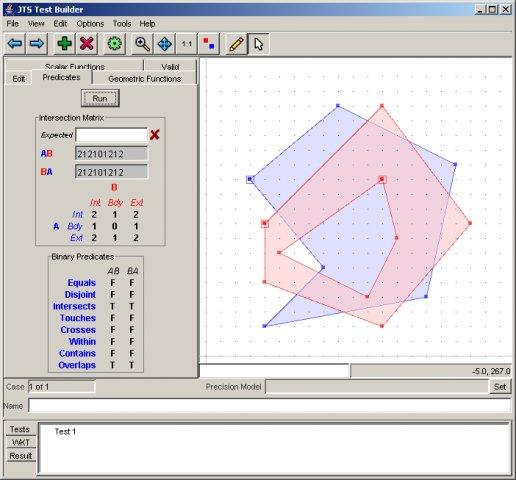
Librerías Geoespaciales
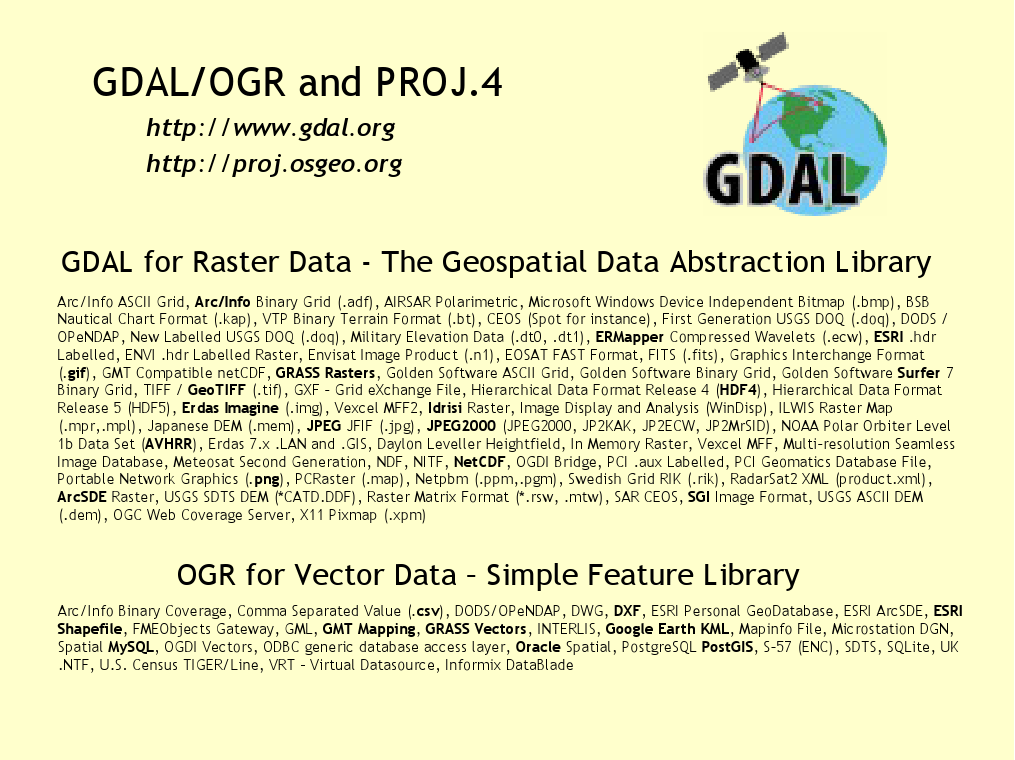
GDAL/OGR
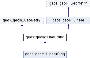
GEOS
GeoTools
PROJ
JTS
GDAL/OGR
GEOS
GeoTools
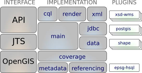
PROJ
JTS
Créditos
Desarrolladores y mantenedores de proyectos
Autores y revisores de la documentación
Traductores
Comité Directivo del Proyecto
Angelos Tzotsos (Presidente)
Brian M Hamlin
Alex Mandel
Johan Van de Wauw
Bas Couwenberg
Massimo De Stefano
Astrid Emde
Nicolas Roelandt
Vicky Vergara
Enock Seth Nyamador
Involúcrate
Conviértete en miembro de nuestro equipo
Únete a nuestra Lista de Correos y preséntate
Participe en nuestras reuniones semanales de IRC (canal #osgeolive en Libera.Chat
Hay dos maneras en que puede ayudar
Ayude a mejorar el sitio web y la documentación de OSGeoLive
Enviar nuevos proyectos
Mejora de la documentación de OSGeoLive
Revisar, probar y corregir Quickstarts y Overviews
¡Hay una buena posibilidad de conocer un software genial!
Traducir y mejorar la documentación
Translation is made in OSGeo Weblate
Los Capítulos Locales pueden involucrarse fácilmente aquí
No se necesita experiencia técnica
Pruebe OSGeoLive
Cloud deployments
Pruebe OSGeoLive
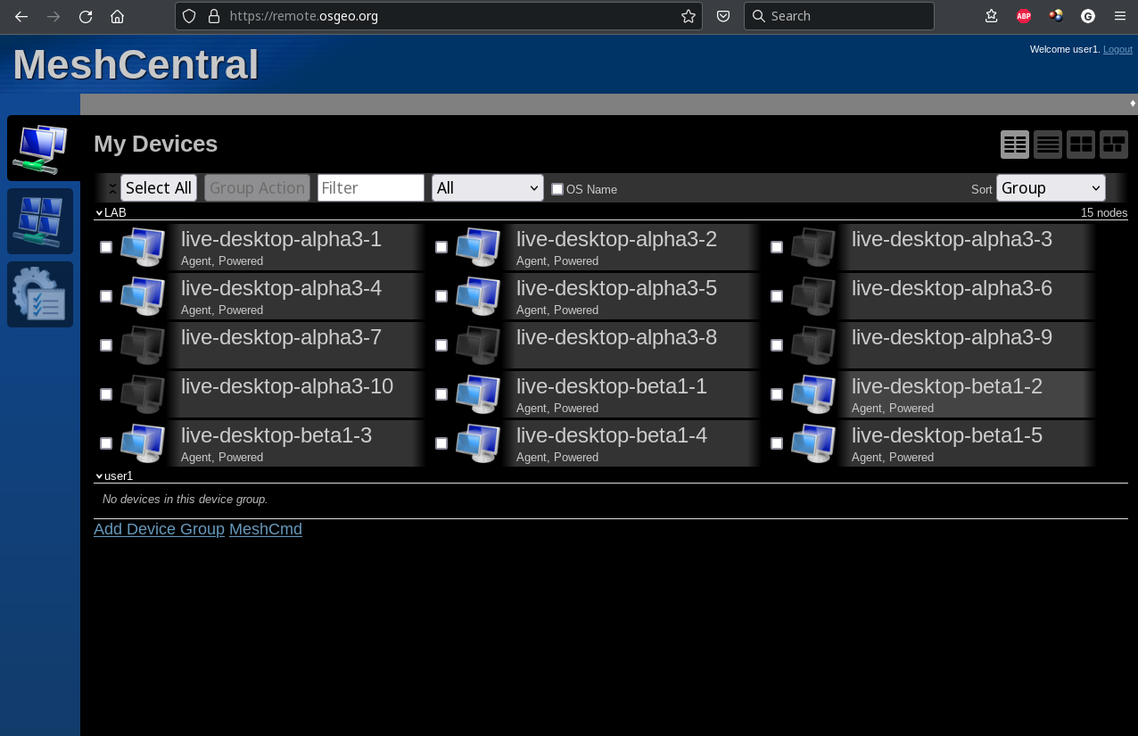
Pruebe OSGeoLive
Join us at the FOSS4G 2023 Community Sprint
01.-02. of July 2023
Patrocinadores
OSGeo |
UCD ICE |
DebianGIS |
|
|
|


Pruebe OSGeoLive