
uDig
Desktop GIS
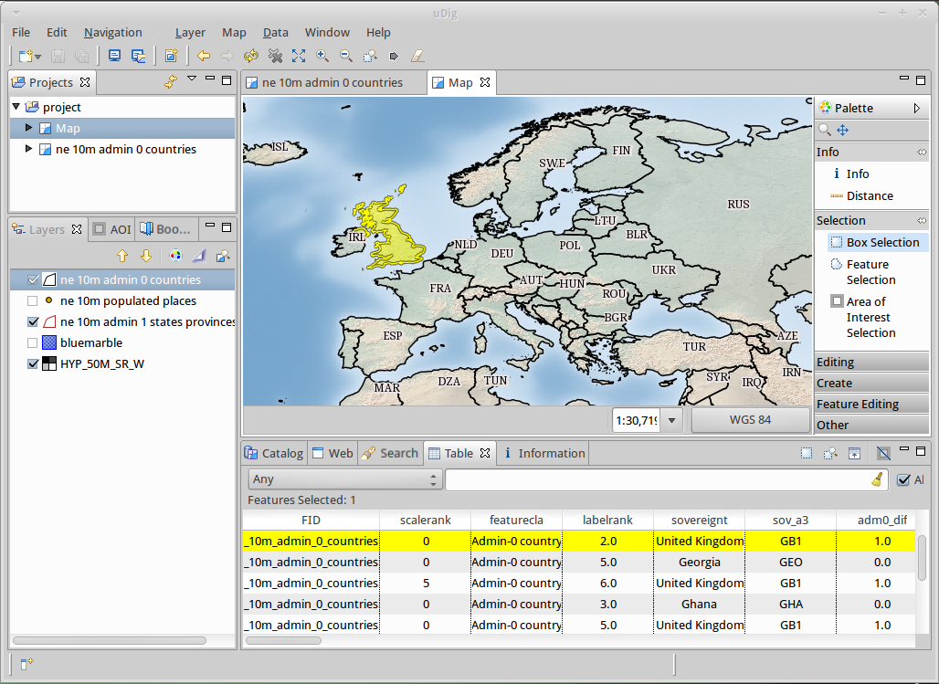
User-friendly Desktop Internet GIS (uDig) is an open source spatial data viewer/editor, with special emphasis on the OpenGIS standards for internet GIS, the Web Map Server (WMS) and Web Feature Server (WFS) standards.
uDig is:
User-friendly, providing a familiar graphical environment for GIS users;
Desktop located, running natively on Windows, Mac OS/X and Linux;
Internet oriented, consuming standard and de facto geospatial web services; and,
GIS ready, providing the framework on which complex analytical capabilities can be built, and gradually subsuming those capabilities into the main application.
For developers uDig provides a common Java platform for building spatial applications with open source components. The website provides series of clear tutorials covering making a simple tool through to releasing your own custom application.
Core Features
Desktop Client with Drag and Drop integration for File explorer and Web Browser
Integrate with your existing infrastructure: ArcSDE, Oracle, DB2 and more
Work with local files: Shapefile, jpeg, png, tiff and more.
Work with advanced spatial raster formats: ECW, MrSID, JPEG 2000
Support for compliant Web Map Servers (GeoServer, MapServer tested)
Integrated Web experience with an embedded browser that recognises OGC web services and smoothly adds links to the onscreen map
Style Layer Descriptor control of rendering allowing you to publish your Map using the same settings in uDig as with popular Web Map Servers
Deep integration of standards allowing the application to swap between the appropriate service as required for display, interaction and editing
Printing and PDF Generation
For Developers
Java Application built using the GeoTools, JTS Topology Suite (JTS)
Industrial strength plug-in system provided by Eclipse Rich Client Platform
Use of native widgets
Implemented Standards
OGC Web Map Server (WMS)
OGC Web Feature Server (WFS)
OGC Web Feature Server Transactional (WFS-T)
OGC Simple Features for SQL (SFQL)
Web Map Server Cache (WMS-C)
OGC Style Layer Descriptor (SLD)
Details
Website: http://udig.refractions.net/
Licence: Dual BSD / EPL (Eclipse Foundation)
Software Version: 2.0.0RC1
Supported Platforms: Windows, Linux, Mac
API Interfaces: GeoTools, ImageIO-Ext, Java Advanced Imaging, Eclipse Rich Client Platform, Eclipse Modelling Framework
Support: http://udig.refractions.net/users/
Developers: http://udig.refractions.net/developers/
Note
This project is only included on the OSGeoLive virtual machine disk (VMDK)