
Cesium
About
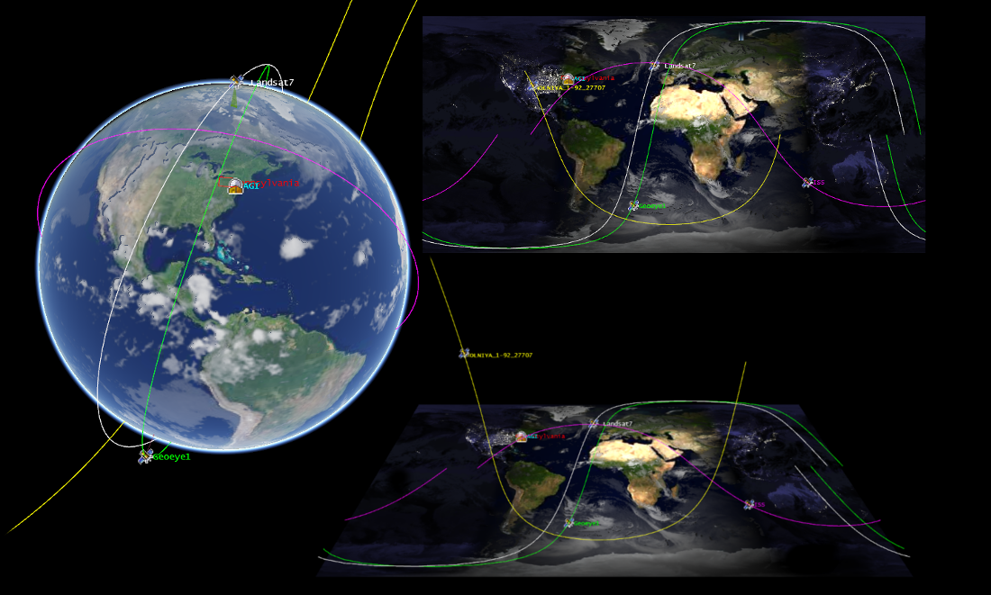
3D Globes and 2D Maps in a Browser
Cesium is a JavaScript library for creating 3D globes and 2D maps in a web browser without any plugins. It uses WebGL for hardware-accelerated graphics, and is cross-platform, cross-browser, and tuned for dynamic-data visualization.
Core Features
Dynamic Geospatial Visualization:
Built for Performance and Precision:
Optimized WebGL with batching and culling efficiently uses hardware-accelerated graphics.
Draw a wide range of geometries including polylines, polygons, billboards, labels, extrusions, and corridors.
Use 3D Tiles to stream, style and interact with heterogeneous 3D data, including photogrammetry models, 3D buildings, CAD and BIM exterior and interiors, and point clouds.
Control the camera and create flight paths.
Use standard widgets to control animation time, select imagery layers, and zoom to a location.
One API, Three Views:
Cesium supports a 3D globe, 2D map, and 2.5D Columbus View with the same API.
Implemented Standards
WMS and WMTS
Details
Website: https://cesium.com/
Licence: Apache 2.0 license
Software Version: 1.106
Supported Platforms: Platform independent, depends only on a browser which supports WebGL
Community Support: Forum at https://community.cesium.com