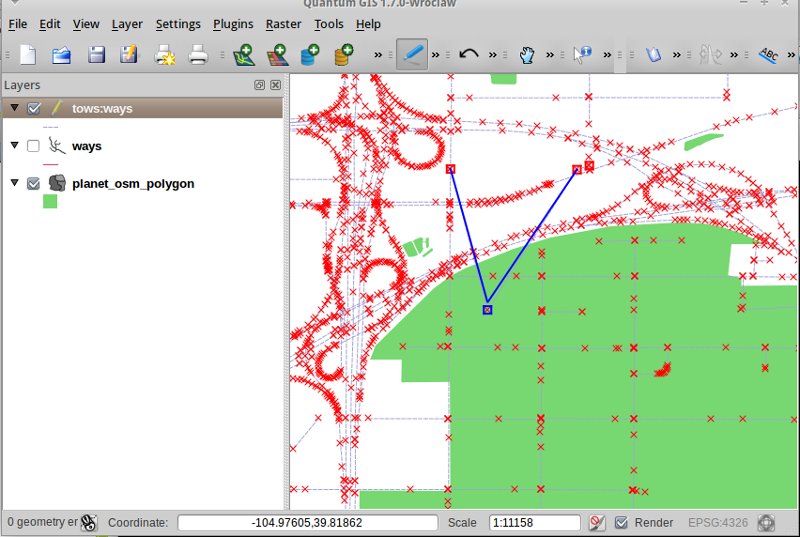

TinyOWS is a high performance, Transactional Web Feature Service (WFS-T) which is light weight and easy to deploy, usando un’interfaccia a CGI o FastCGI e PostGIS per archiviare i dati.

TinyOWS è comunamente utilizzanto insieme a MapServer per fornire servizi WFS-T e WFS veloci per client come QGIS e/o OpenLayers. È utilizzato in fase produttiva in organizzazioni sparse in tutto il mondo, incluse risk adverse government agencies. TinyOWS implementa rigorosamente gli standard WFS 1.0 e 1.1, e ha passato tutti i test OGC CITE units (~ 1000 test unici).
Sito Web: http://mapserver.org/tinyows/
Licenza: MIT
Versione Software: 1.1.0
Piattaforme Supportate: Linux, Unix, Mac, Windows
Interfacce API: CGI/FastCGI
Supporto: http://lists.osgeo.org/mailman/listinfo/mapserver-users