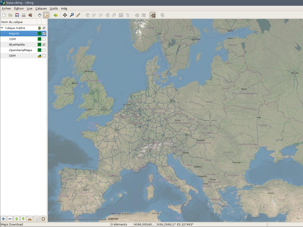
Viking is a GPS data editor, analyzer and viewer. Viking aims to be easy to use, yet powerful in accomplishing a wide variety of GPS related tasks. It uses a hierarchical layering system to organize GPS data, maps, and other layer types with spatial data, such as coordinate lines. It works with OpenStreetMap data and various online tile servers.

Website: http://sourceforge.net/apps/mediawiki/viking/
Licence: GNU General Public License (GPL) version 2
Software Version: 1.4.2
Supported Platforms: GNU/Linux, MS Windows
API Interfaces: C, GTK+ 2
Support: http://sourceforge.net/apps/mediawiki/viking/index.php?title=Main_Page#Help