The 52°North WPS is a framework for web-based processing of (geospatial) data. The service implements the OGC Web Processing Service 1.0 interface standard.
This quickstart describes how to process data and store the result in another web service using WPS operations.
Contents
To run the 52°North WPS on the Live DVD, go to Geospatial ‣ Web Services ‣ 52North ‣ Start 52North WPS to start the 52°North WPS or use this direct link. (If the service is not reachable, try to start the Tomcat servlet engine following the steps at the bottom of the SOS quickstart page.)
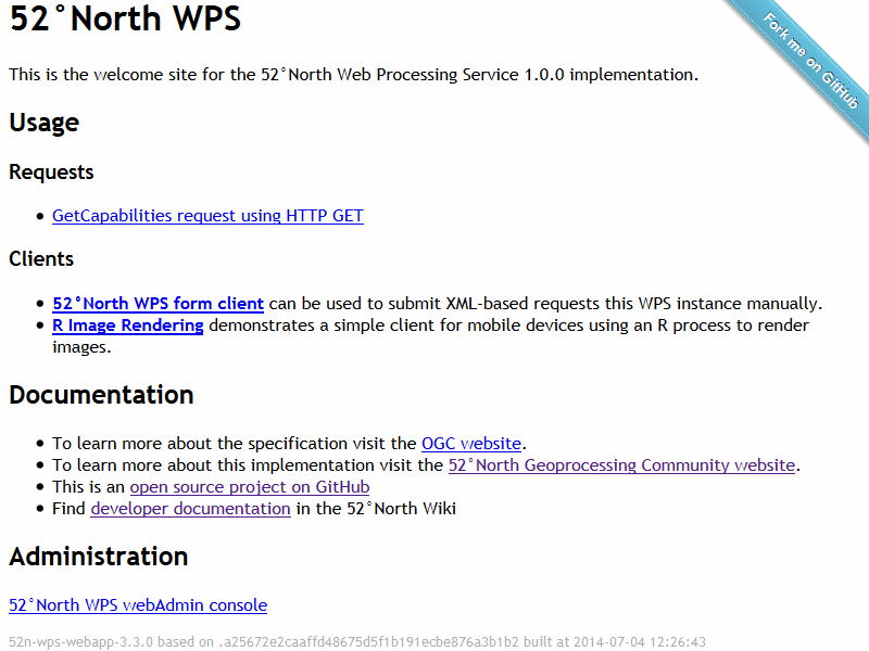
The 52n WPS welcome page will appear.

Check out the capabilities of the 52°North WPS with this request:
http://localhost:8080/52nWPS/WebProcessingService?Request=GetCapabilities&Service=WPS
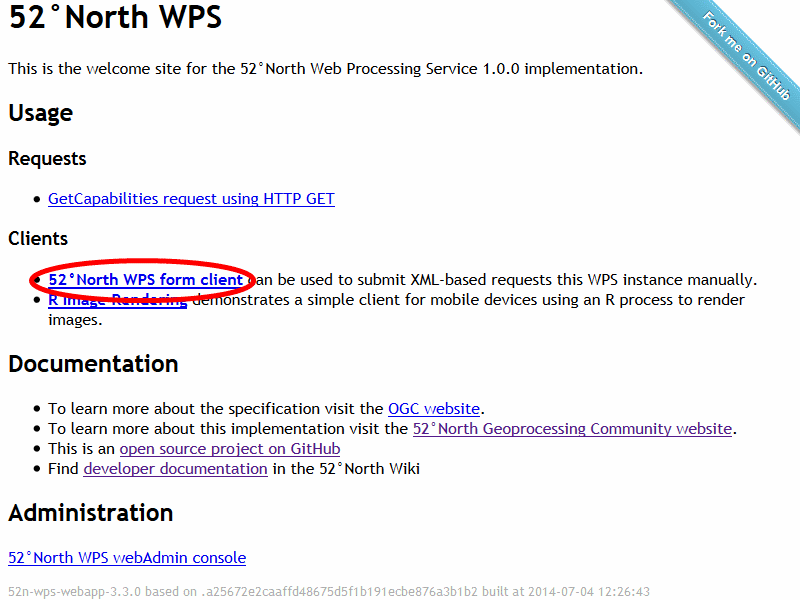
Click on the link to open the 52nWPS-TestClient.

Make sure that GeoServer is running since the demonstration requires data from the local GeoServer installation. To do this, try to open the page http://localhost:8082/geoserver/web. If the page could not be found, select Geospatial ‣ Web Services ‣ GeoServer ‣ Start GeoServer in the menu. The GeoServer should be running after a few moments.
Select the example request “SimpleBuffer_out_wfs.xml” from the dropdown list:

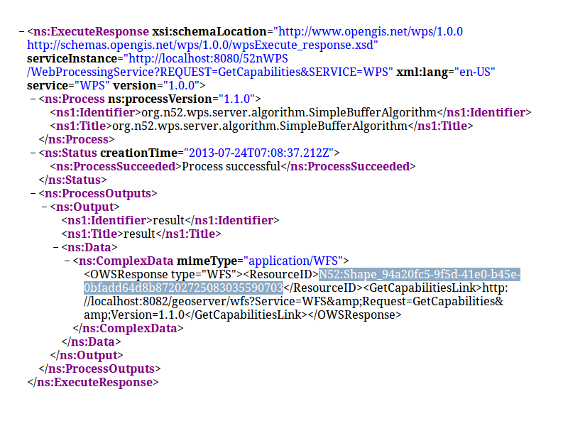
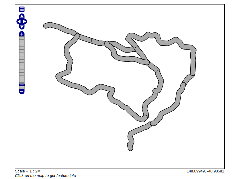
Push the Send-Button and the request will be transmitted to the 52°North WPS which will generate a buffer around the major roads of Tasmania with a width of 0.05 degrees and store the result in GeoServer.

Copy the ResourceID from the response. This is the name of the GeoServer layer. Add the ID to the following request: http://localhost:8082/geoserver/wms?service=WMS&version=1.1.0&request=GetMap&styles=&bbox=145.14757902405984,-43.47330297262748,148.32274986232298,-40.80286290459129&width=512&height=430&srs=EPSG:4326&format=application/openlayers&layers=Add-ResourceID-here You should get the following result:

Available in the 52°North wiki: https://wiki.52north.org/bin/view/Geoprocessing/GeoprocessingTutorials
For further questions you can contact the 52°North WPS mailing list: