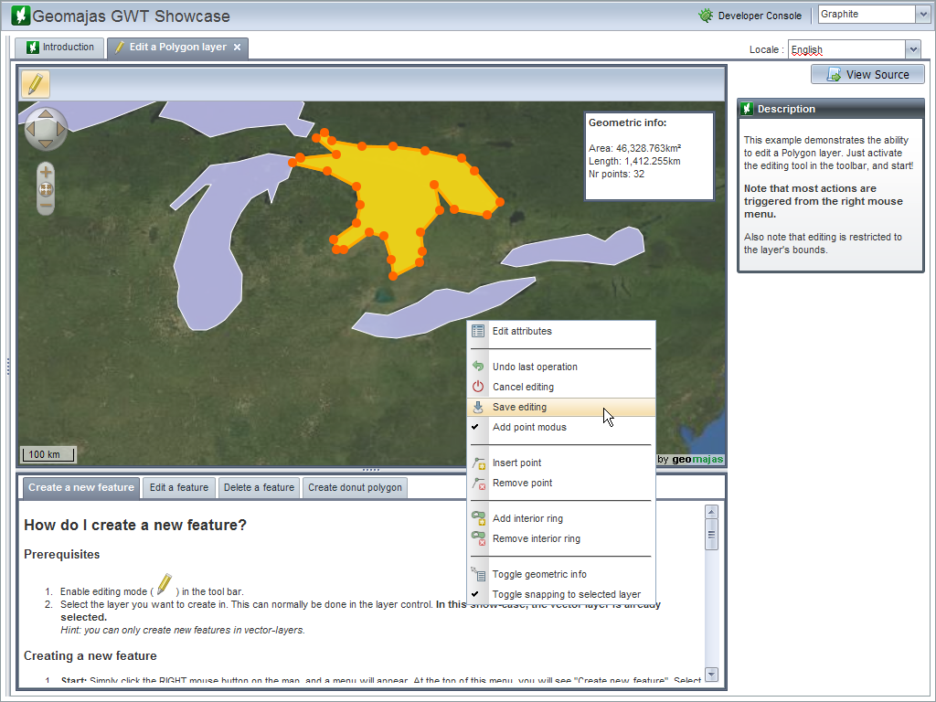

Geomajas is an extensible web mapping framework which seamlessly integrates powerful server side algorithms into the web browser.
The focus of Geomajas is to provide a platform for server-side integration of geospatial data (be it through GeoTools or Hibernate), allowing multiple users to control and manage the data from within their own browsers. In essence, Geomajas provides a set of powerful building blocks, from which the most advanced GIS application can easily be built.
What makes Geomajas unique is its strong server side focus. The processing, styling, filtering, caching, etc. of geospatial data always happens within a secured context. All this makes Geomajas applications incredibly scalable and performing, keeping the client a real thin client.

Strona internetowa: http://www.geomajas.org/
Licencja: AGPL
Wersja programu: 1.8
Systemy operacyjne: Windows, Linux, Mac
Interfejsy API: Java
Wsparcie: http://www.osgeo.org/node/725?SET=1&MUL_TECH[]=00089