project logo

osgEarth

Terrain rendering toolkit

osgEarth is a scalable terrain rendering toolkit for OpenSceneGraph (OSG), an open source, high performance, 3D graphics toolkit. Just create a simple XML file, point it at your imagery, elevation, and vector data, load it into your favorite OSG application, and go! osgEarth supports all kinds of data and comes with lots of examples to help you get up and running quickly and easily.
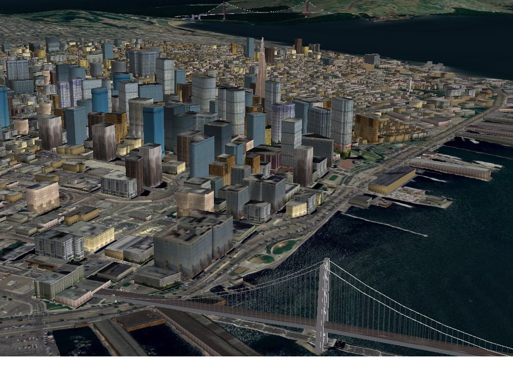
screenshot

Core Features

osgEarth makes is easy to deploy scalable terrain models:

  • Create terrain models - either offline, or dynamically at run-time
  • Load whole-earth terrains without writing any code
  • Layer imagery to produce high-resolution insets
  • Combine multiple imagery, elevation, and vector data sources on the fly
  • Set up map tile caches to maximize performance
  • Adjust layer opacity for multi-texturing effects

But osgEarth does more than just render terrain:

  • Drape vector (GIS) data on the terrain
  • Reproject data among different coordinate reference systems
  • Place external models on the terrain with lat/long coordinates
  • Do fast intersection testing
  • Incorporate new data into existing VPB databases (without rebuilding them)
  • Access terrain tiles directly for non-visual processes

Things you can see:

Details

Website: http://osgearth.org/

Licence: GNU Lesser General Public License (LGPL)

Software Version: 2.0

Supported Platforms: Linux, Mac, Windows

API Interfaces: C++

Commercial Support: http://osgearth.org/#ProfessionalServices

Copyright & Disclaimer