
OTB
Przetwarzanie zobrazowań
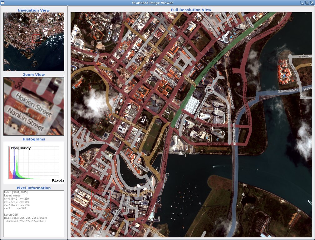
ORFEO Toolbox Library (OTB) is a high performance image processing library. It is primarily used for processing remote sensing images such as those gathered by radars, satellites and aerial photography. OTB provides tools for the future optic and radar images (tridimensional aspects, segmentation, classification, changes detection, texture analysis, pattern matching, optic/radar complementarities,).
OTB has been funded the French Space Agency (CNES) in the frame of the Methodological Part of the ORFEO Accompaniement Program and has been actively developed since 2006. It is based on the established medical image processing library ITK and is distributed as open source.
Główne funkcje

- dostęp do obrazów: zoptymalizowany dostęp read/write access do większości formatów zobrazowań (również Jpeg2000), dostęp do metadanych i wizualizacji;
- ortorektifikacja i reprojekcja map
- kalibracja
- łączenie zobrazowań
- filtracja: blurring, denoising, enhancement…
- feature extraction: interest points, alignments, lines…
- detekcja obiektów
- large scale image segmentation: region growing, mean-shift, watershed, level sets…
- classification: K-means, SVM, Markov random fields
- object-based image analysis
- analizy geoprzestrzenne
- stereoskopowa rekonstrukcja z optycznych par zdjęć
- analizy danych SAR
- change detection.
Szczegóły
Strona internetowa: http://www.orfeo-toolbox.org/
- Licencja: CeCILL (CeCILL is compatible with GPL and enhanced to
- address French law)
Wersja programu: 3.14.1 (released in October 2012)
Systemy operacyjne: Linux, Mac, Windows
Interfejsy API: C++ (bindings in Java and Python available)
Wsparcie komercyjne: http://www.osgeo.org/search_profile
