
52°North WPS
Usługi sieciowe
52°North Web Processing Service (WPS) pozwala na dostęp sieciowy do algorytmów przetwarzania geodanych dostpnych w Sextante, ArcGIS Server, R, GRASS 7 lub dowolnie zaprogramowanej funkcji. Algorytmy mogą być tak proste jak określenie różnicy przypadków grypy w różnych porach roku lub tak skomplikowane jak model globalnych zmian klimatycznych.
Główne funkcje
Główne funkcje GIS:
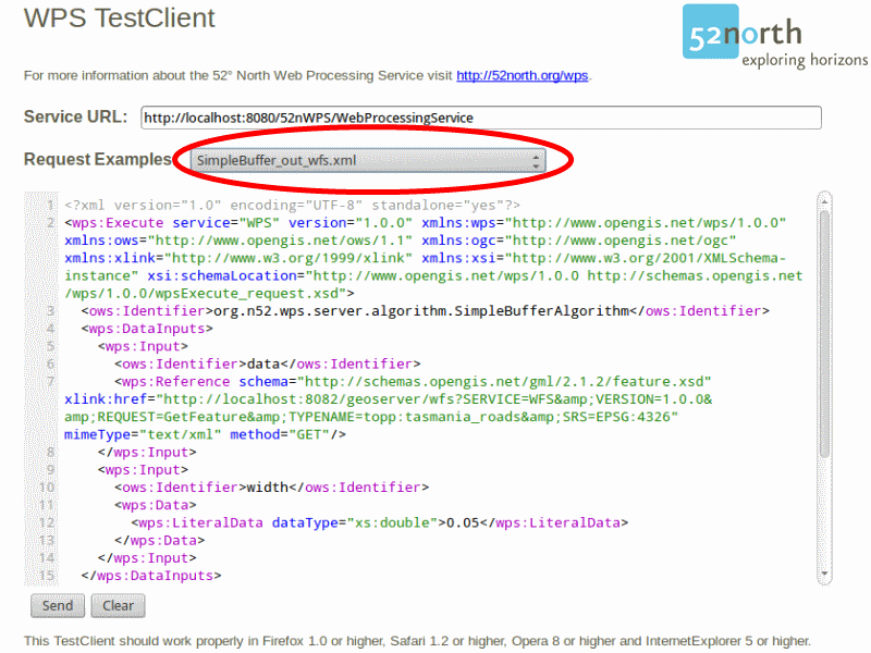
- SimpleBufferAlgorithm
- DouglasPeuckerAlgorithm
- IntersectionAlgorithm
- AddRasterValuesAlgorithm
- CoordinateTransformAlgorithm
Odległe algorytmy dostępne z:
- Sextante
- ArcGIS Server
- R
- GRASS 7
Obsługiwane formaty wejścia i wyjścia:
- Dane wektorowe: GML2, GML3, pliki SHP, KML, WKT (Well-known Text), DGN, JSON
- Dane rastrowe: Geotiff, AsciiGrid, NetCDF, JPEG, PNG, HDF-EOS, ERDAS HFA
- Wyniki mogą być przechowywane w GeoServer/MapServer
Klient w przeglądarce internetowej
Zaimplementowane standardy
- OGC Web Processing Service (WPS)
- OGC GML2 SimpleFeatures
- OGC GML3 SimpleFeatures
Szczegóły
Strona internetowa: http://52north.org/wps
Licencja: Powszechna Licencja Publiczna GNU (GPL 2)
Wersja programu: WPS 3.4.0
Systemy operacyjne: Windows, Linux, Mac
Wsparcie komercyjne: http://52north.org