
Iris
Meteorology and Climatology
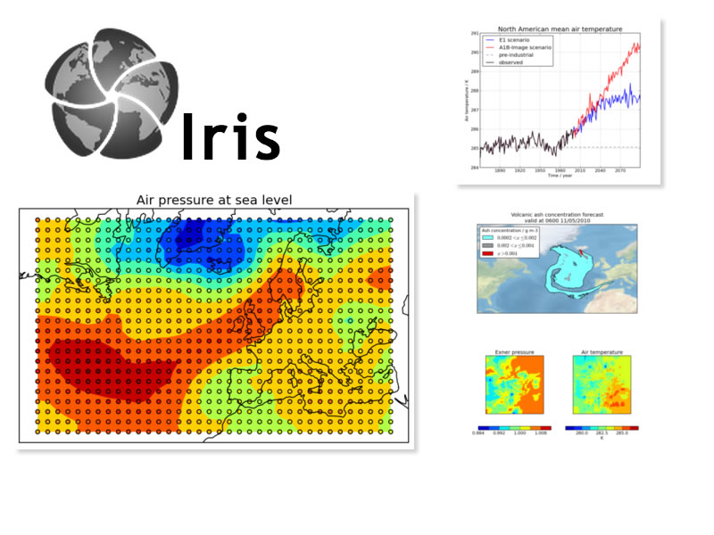
Iris is a powerful, Python library for analysing and visualising meteorological and oceanographic data sets. It includes data manipulation operations, such as arithmetic, interpolation, and statistics; and a range of integrated plotting options.
Iris currently supports read/write access to a range of data formats, including (CF-)netCDF, GRIB, and PP files.
Core Features
- Use a single API to work on your data, irrespective of its original format.
- Read and write (CF-)netCDF, GRIB, and PP files.
- Easily produce graphs and maps via integration with matplotlib and cartopy.
Details
Website: http://scitools.org.uk/iris/
Licence: LGPLv3
Software Version: 1.9.2
Supported Platforms: Cross Platform Python– Mac OS X, Windows, and Linux
API Interfaces: Python