
QField
Mobile GIS
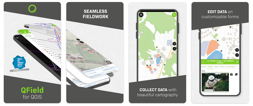
QField for QGIS is a simplified touch optimized interface for QGIS in the field. It includes professional tools for data acquisition with surveying grade positioning device integration as well as support for a wide variety of advanced attribute capturing and mobile mapping functionalities. QField is available for Android, iOS, Linux, MacOS and Windows.
It is perfectly integrated with QGIS and the development of the two projects collaborate closely.
Core Features
- Friendly graphical user interface:
identify/select features
edit/view/search attributes
on the fly reprojection
beautiful cartography
photo and multimedia capturing
live feedback on data quality via constraints
- Easy Viewing of many Vector and Raster Formats
most vector formats: including ESRI shapefiles, MapInfo, SDTS and GML, OpenStreetMap vectors
raster formats such as digital elevation models, aerial photography or landsat imagery
online web services: WMS, WFS and OGC API
- Exporting data
printing to pdf
- Sensor integration
internal positioning sensors (GNSS)
external positioning sensors via NMEA (bluetooth, UDP, TPC)
NTRIP correction (RTK) can be enabled dependening on the device
external sensor integration (radiation, gas, …)
- Synchronization
Data synchronization via QFieldCloud <https://qfield.cloud>
Implemented Standards
OGC standards compliant (WMS, WFS, … )
Details
Website: https://qfield.org/
Licence: GNU General Public License (GPL) version 2
Software Version: 2.7.6
Supported Platforms: Windows, Linux, Mac, Unix, iOS, Android
Community Support: https://docs.qfield.org/get-started/support/
Commercial Support: https://docs.qfield.org/get-started/support/
Nota
This project is only included on the OSGeoLive virtual machine disk (VMDK)