GMT
The Generic Mapping Tools
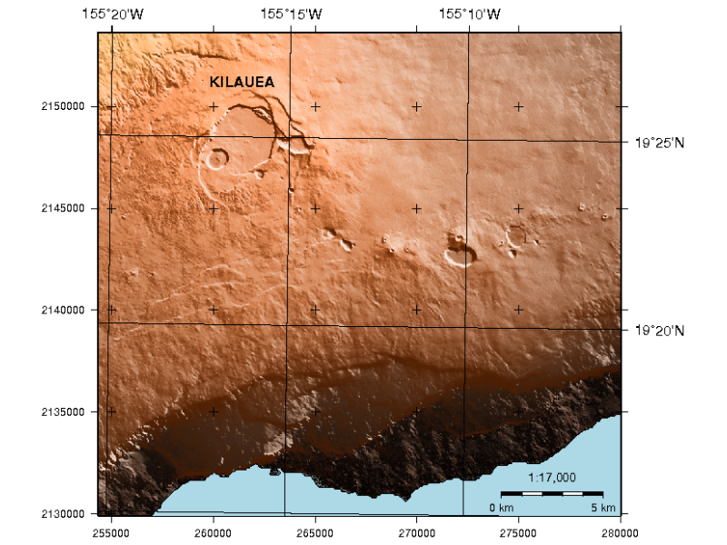
GMT is a collection of tools that allow users to manipulate (x,y) and (x,y,z) data sets (including filtering, trend fitting, gridding, projecting, etc.) and produce Encapsulated PostScript File (EPS) illustrations ranging from simple x-y plots through contour maps to artificially illuminated surfaces and 3-D perspective views in black and white, gray tone, hachure patterns, and 24-bit color.
GMT supports many common map projections plus linear, log, and power scaling, and comes with support data such as coastlines, rivers, and political boundaries.

Core Features
Journal quality cartography.
Gridding and contouring functions.
Details
Website: https://www.generic-mapping-tools.org
Licence: GNU General Public License (GPL) version 2
Software Version: 6.3.0
Supported Platforms: GNU/Linux, Mac OSX, MS Windows
API Interfaces: Command line
Support: https://forum.generic-mapping-tools.org/
Note
This project is only included on the OSGeoLive virtual machine disk (VMDK)
