
GeoExt
A JavaScript Toolkit for Rich Web Mapping Applications
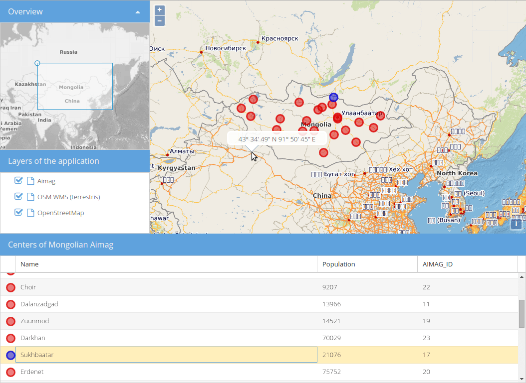
GeoExt is Open Source and enables building desktop-like GIS applications through the web. It is a JavaScript framework that combines the GIS functionality of OpenLayers with the user interface of the ExtJS library provided by Sencha.
User interface components include a map panel, layer tree panel, feature grid, and an overview map. GeoExt components can be used just like any other ExtJS component and can be easily configured and extended. Lower level classes are also available allowing OpenLayers features and layers to be used as ExtJS data models, and for various map layer types to be serialized.
GeoExt is dual licensed. The license you choose depends on the license of the framework ExtJS you use with it. If you are using the GPL v3 version of the ExtJS framework you will use it under GPLv3. If you own a Sencha ExtJS Commercial License, you have the right to use GeoExt under the BSD License.
Core Features
UI Components
Map panel
Overview map
Pop-ups
Feature renderer
Layer Tree, legends, and drag-and-drop layer ordering
Data Models and Stores
Integration of the OpenLayers data model with the ExtJS data model enabling sorting and filtering of features using ExtJS components
ExtJS stores and models for OpenLayers features and layers
Miscellaneous
Integration with
Layer Serializers (WMS, WMTS, XYZ)
Details
Website: https://geoext.github.io/geoext
License: GPLv3 or BSD License dependent on ExtJS license
see License
and License FAQ
Software Version: 3.4.0
API Interface: JavaScript
Support: Mailing lists