OSGeoLive

Version: 16.0
Released: November 2023
Press “s” for slide notes, ESC to zoom out, SPACE / arrow keys to navigate.
Pop-ups are blocked in some browsers due to security settings. Try Firefox or Safari.
Eine Open Source Geospatial GNU/Linux Distribution
Link zu dieser Präsentation
What is new in 16.0
What is new in 16.0
Updated to Lubuntu 22.04.2 LTS
What is new in 16.0
Updated core packages based on DebianGIS
What is new in 16.0
QGIS 3.28.5,
GDAL 3.6.4,
PROJ 9.1.1,
PostGIS 3.3.3,
GRASS 8.2.1,
GeoServer 2.22.2,
MapServer 8.0.1,
and many more…
What is new in 16.0
New projects added: OpenDataCube and QField
What is new in 16.0
Download OSGeoLive ISO or VMDK (with even more software)
What is new in 16.0
Documentation updates
What is new in 16.0
OSM data for Prizren
What is new in 16.0
Updated packages contributed back to UbuntuGIS
What is new in 16.0
Full changelog
What is OSGeoLive?
Components on OSGeoLive
50+ Open Source Geospatial Applications
Consistent Overviews & Quickstarts
Sample Datasets
Translations
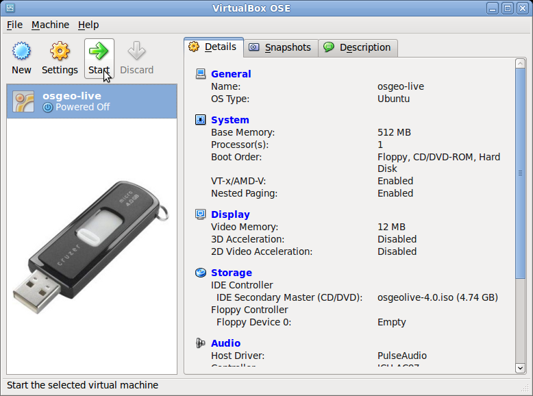
DVD / USB / Virtual Machine
Quality Criteria
Established, stable, working software
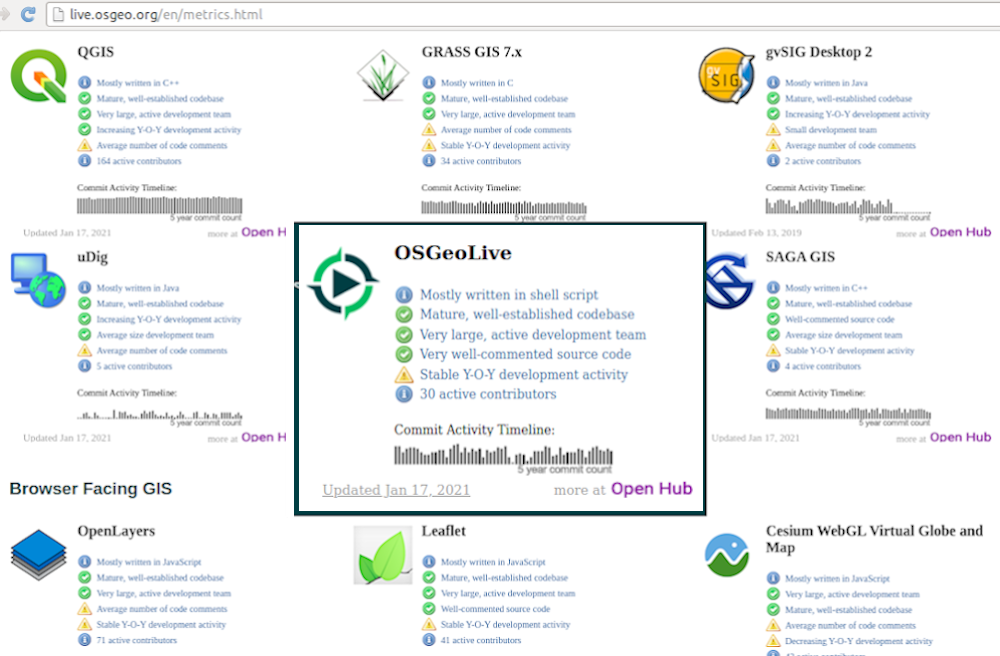
Active community Metrics
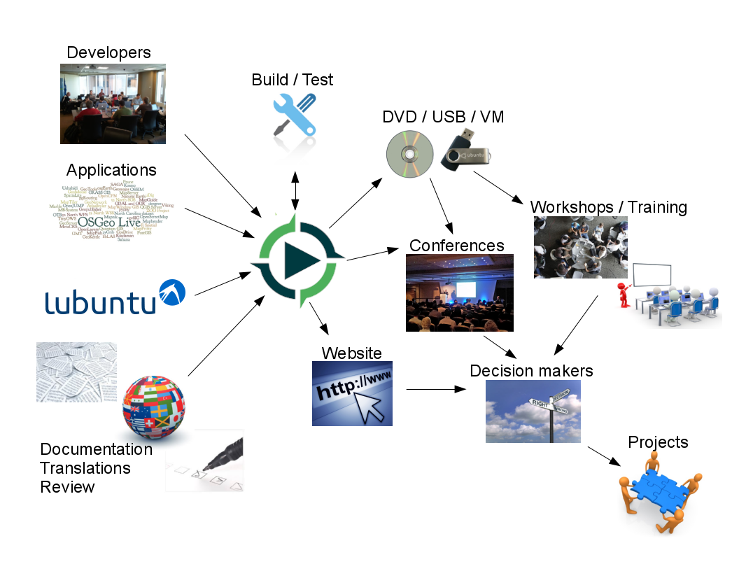
Production & Marketing Pipeline
Open Source Geospatial Foundation (OSGeo)
OSGeo
Non Profit for geospatial community, fostering
Free and Open Source Software
Open Standards
Open Education
Open Research
Open Data
Eine Open Source Geospatial GNU/Linux Distribution

OGC Standards
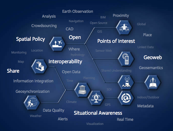
Interoperability
Future Proof
Return on Investment
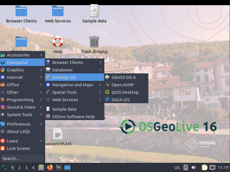
Desktop GIS
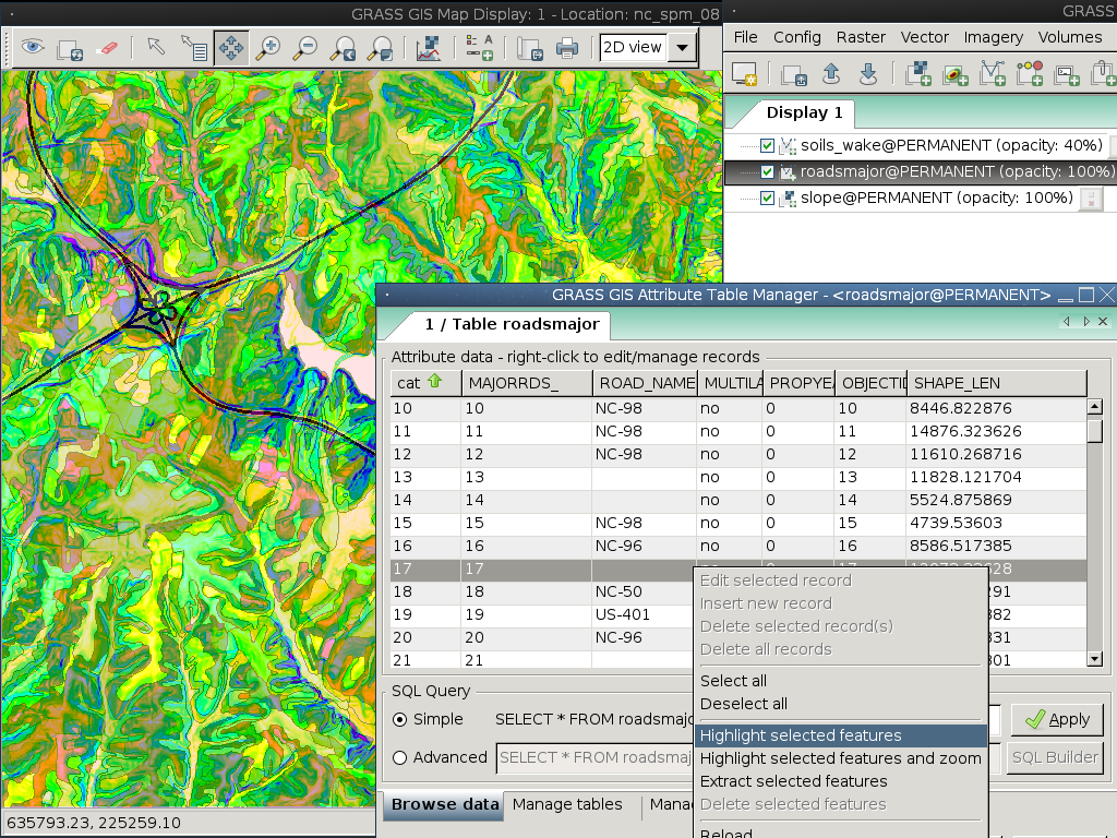
GRASS GIS
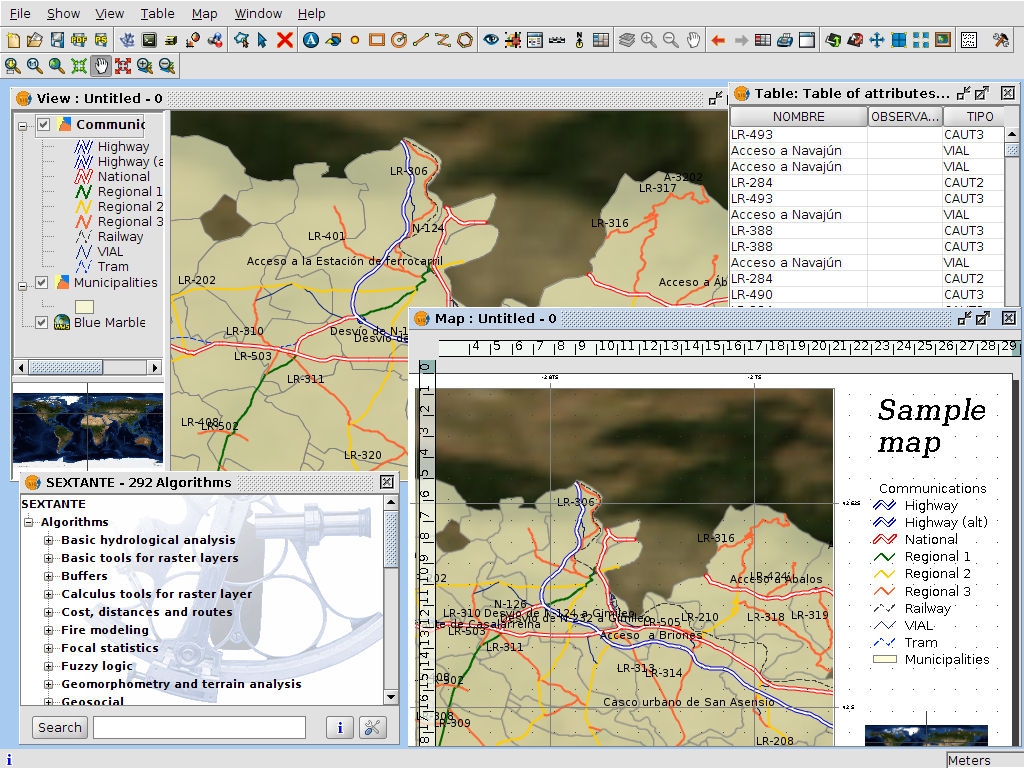
gvSIG Desktop
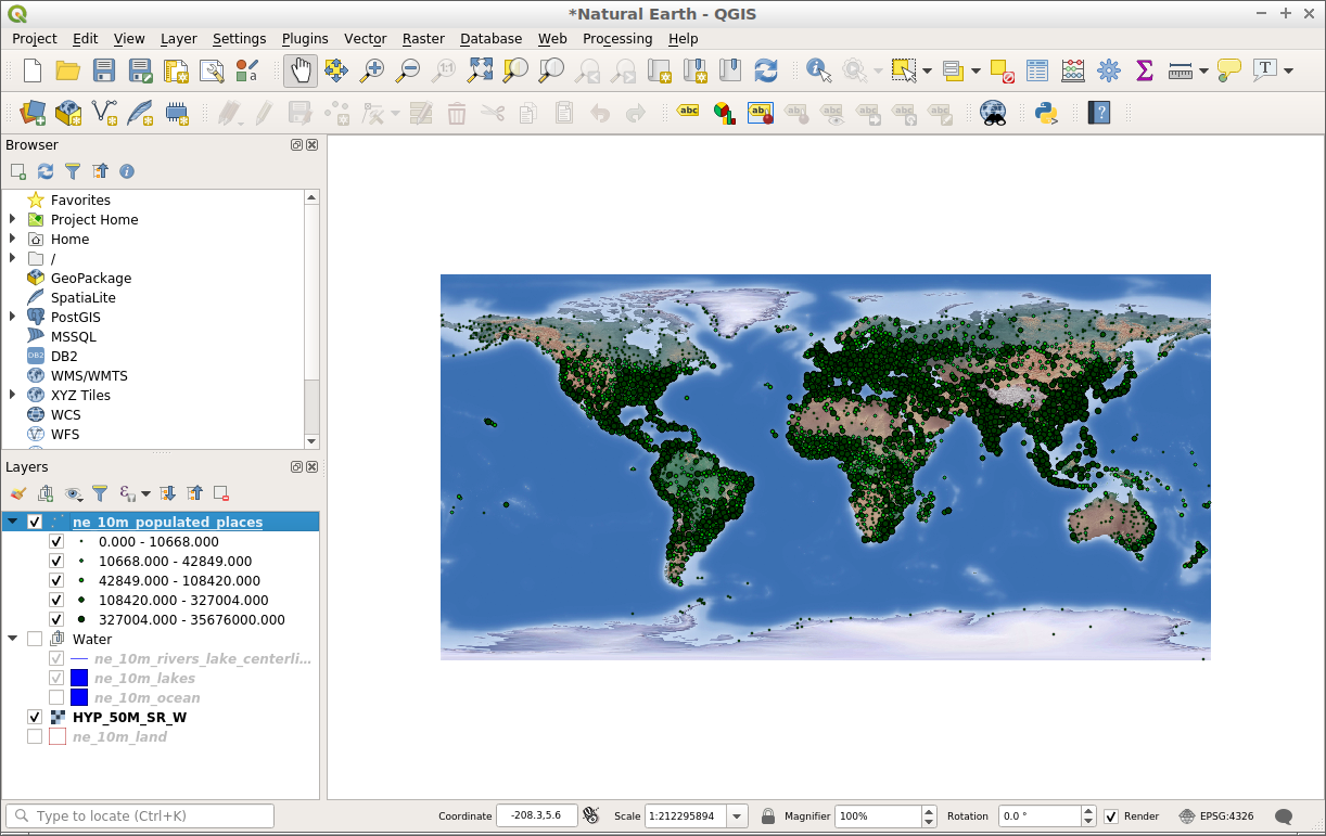
QGIS
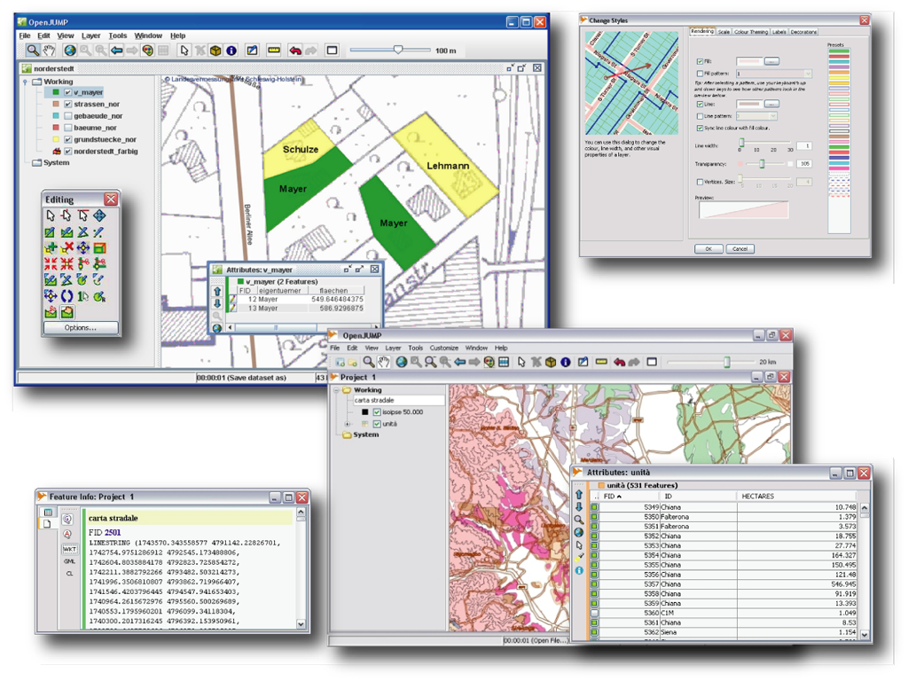
OpenJUMP GIS
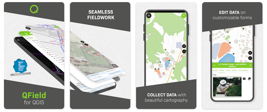
QField
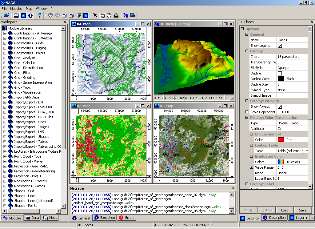
SAGA
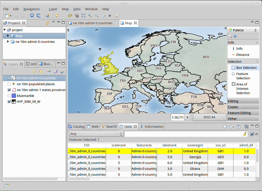
uDig
GRASS GIS
gvSIG Desktop
QGIS
OpenJUMP GIS
QField
SAGA
uDig
Browser Anwendungen
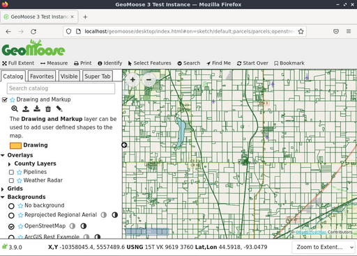
GeoMoose
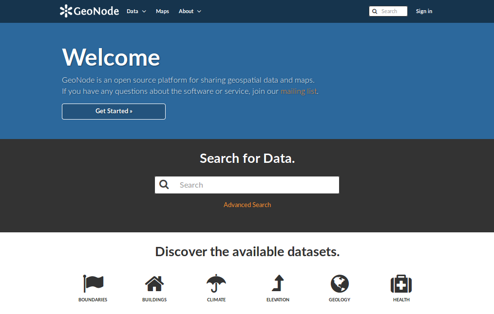
GeoNode
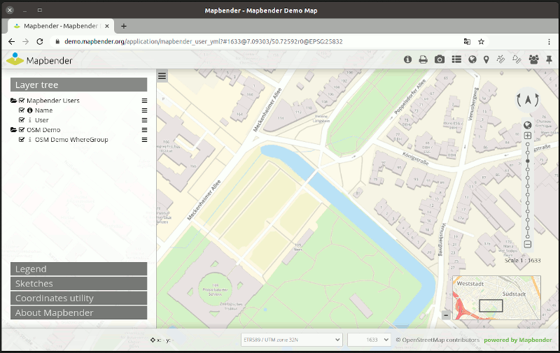
Mapbender
Openlayers
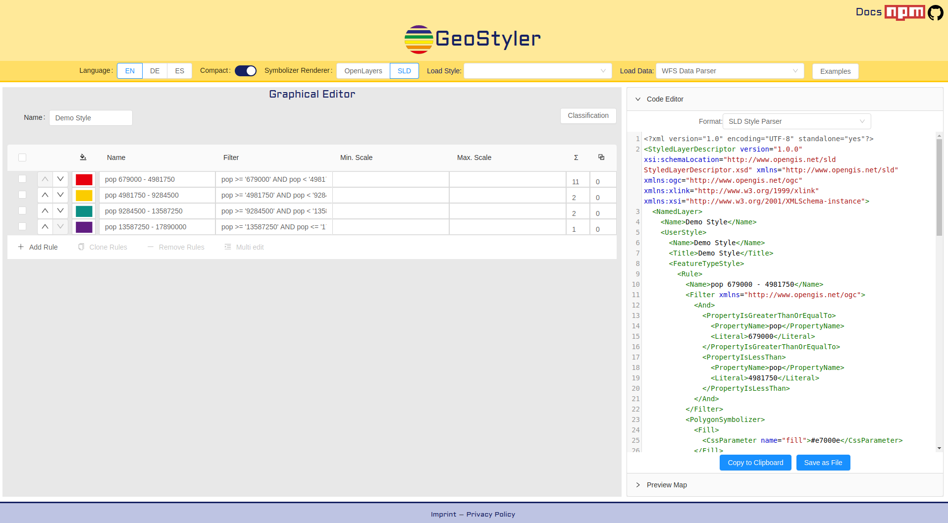
GeoStyler
Cesium
GeoExt
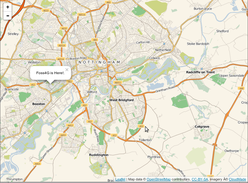
Leaflet
GeoMoose
GeoNode
Mapbender
Openlayers
GeoStyler
Cesium
GeoExt
Leaflet
Internet Dienste
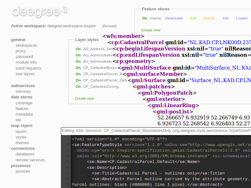
deegree
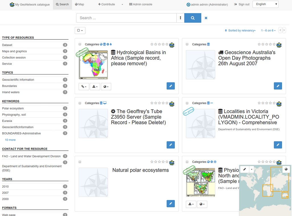
GeoNetwork
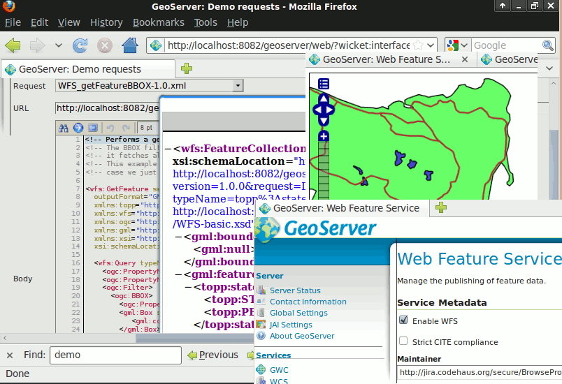
GeoServer
MapCache
MapServer
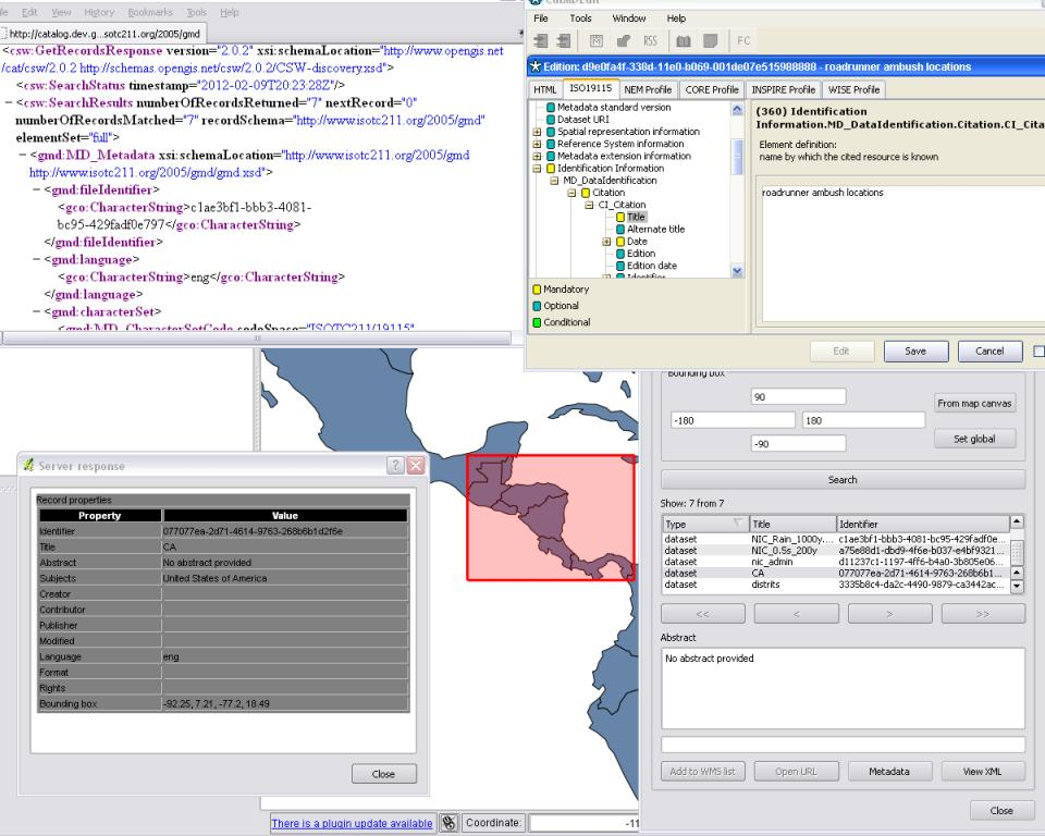
pycsw
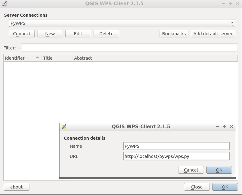
PyWPS
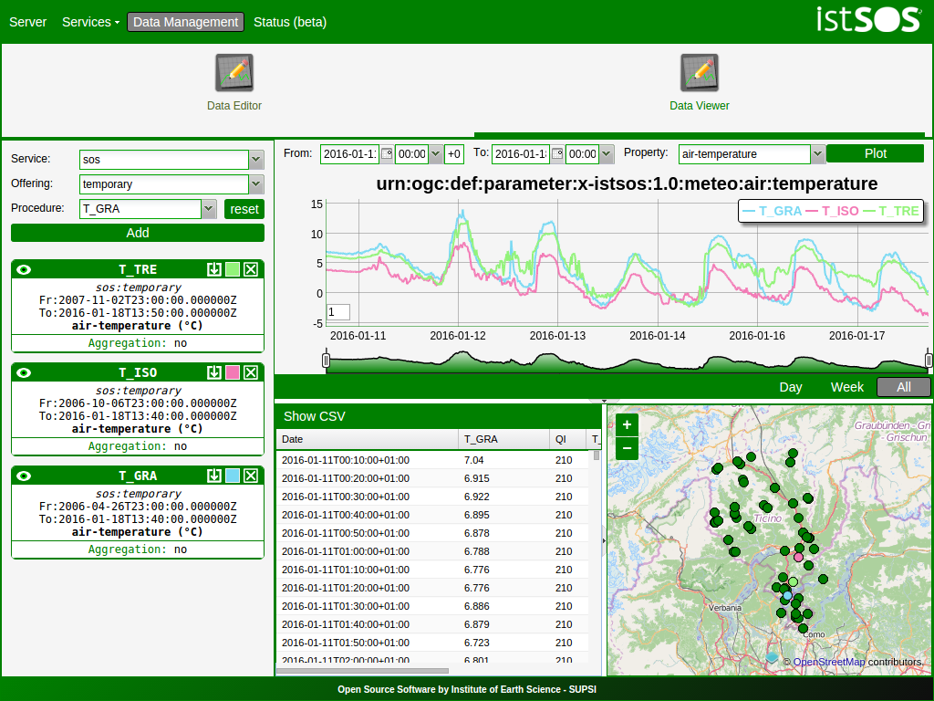
istSOS
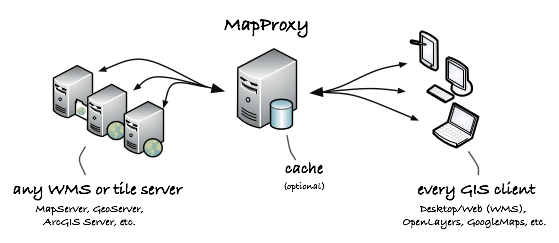
MapProxy
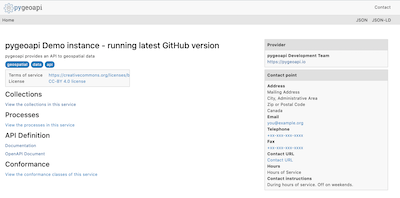
pygeoapi
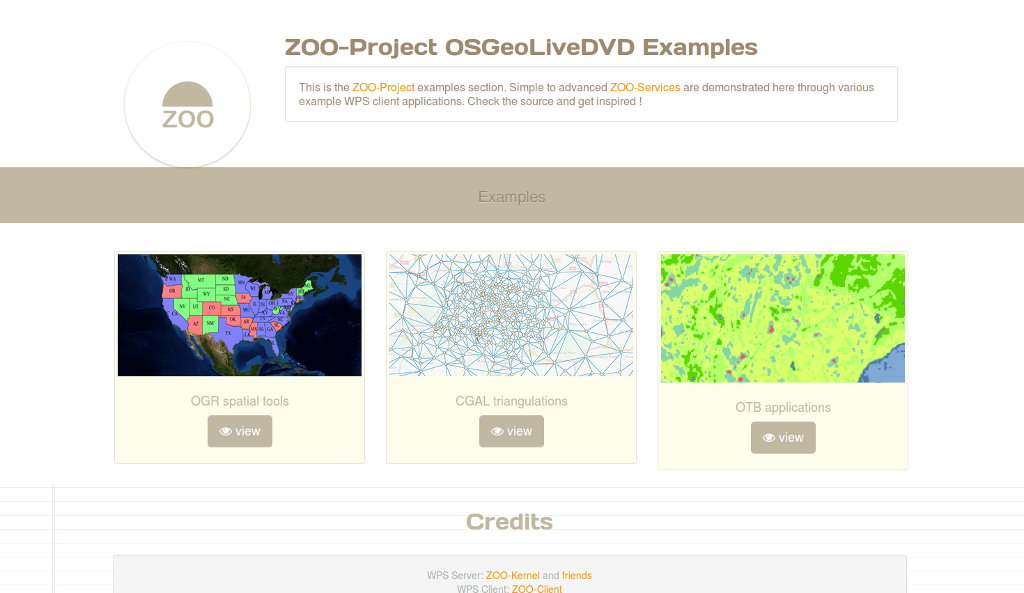
ZOO-Projekt
actinia
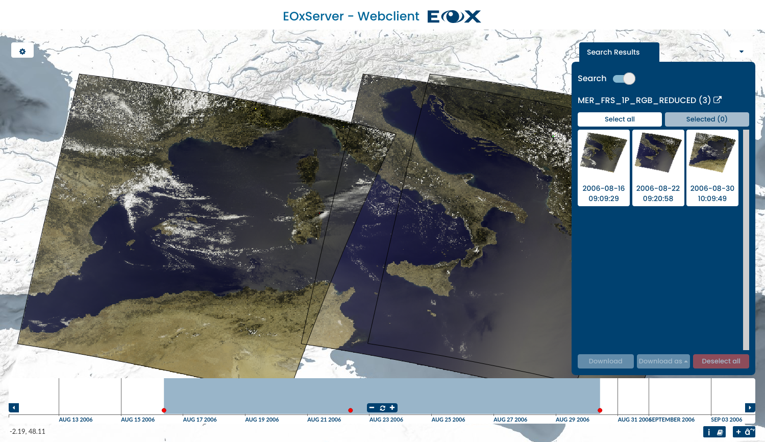
EOxServer
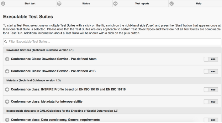
ETF
QGIS Server
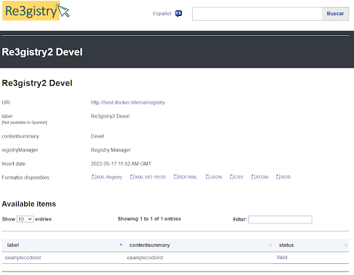
Re3gistry
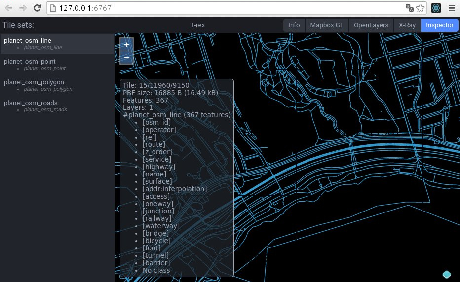
t-rex
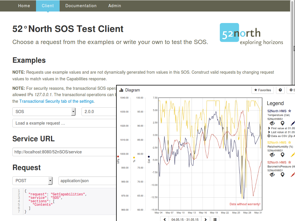
52° North SOS
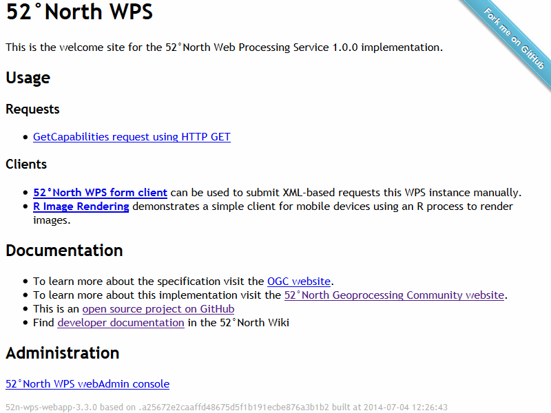
52°North WPS
deegree
GeoNetwork
GeoServer
MapCache
MapServer
pycsw
PyWPS
istSOS
MapProxy
pygeoapi
ZOO-Projekt
actinia
EOxServer
ETF
QGIS Server
Re3gistry
t-rex
52° North SOS
52°North WPS
Datenbanken
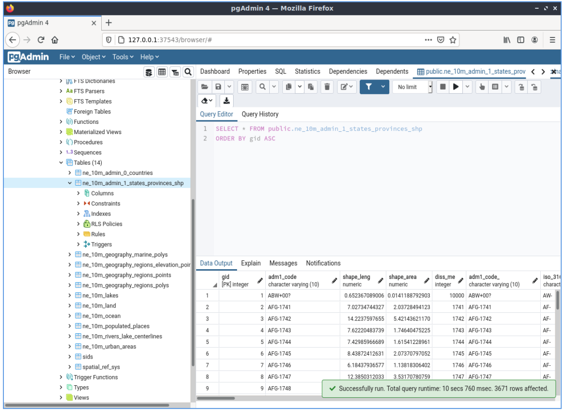
PostGIS
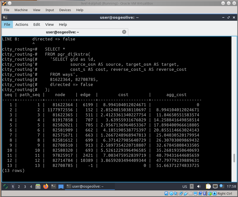
pgRouting
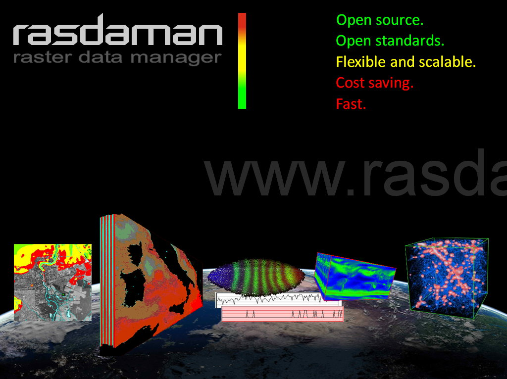
Rasdaman
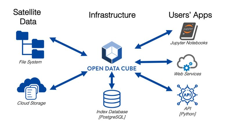
Open Data Cube
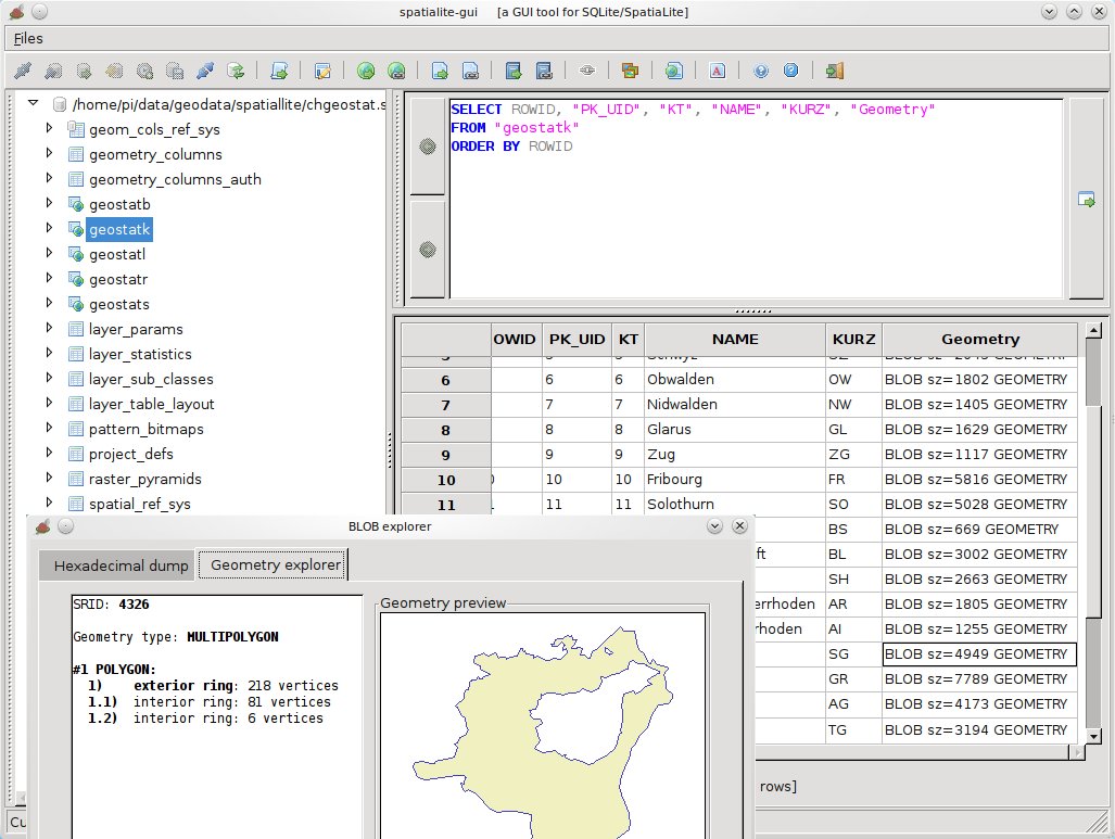
SpatiaLite
PostGIS
pgRouting
Rasdaman
Open Data Cube
SpatiaLite
Navigation und Karten
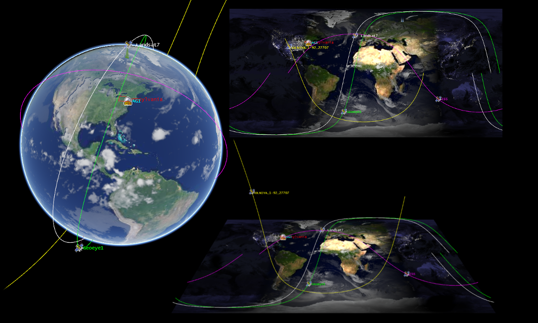
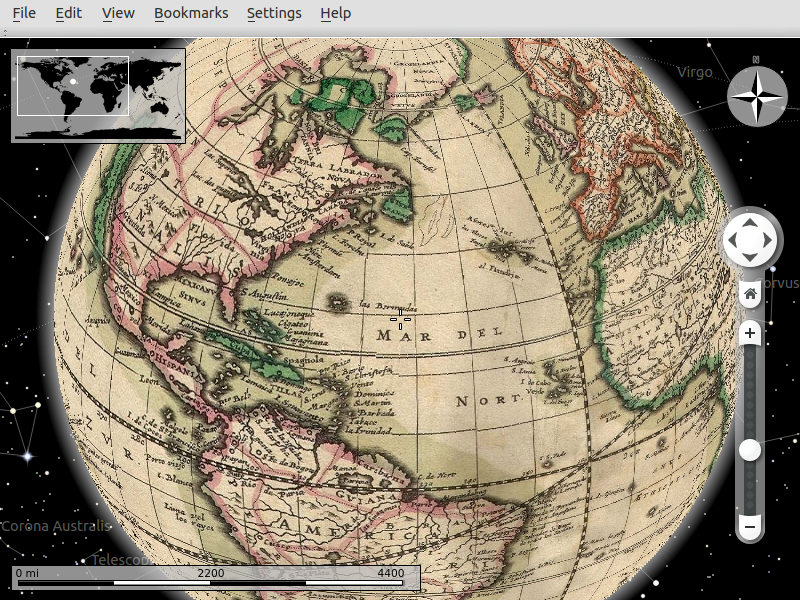
Marble
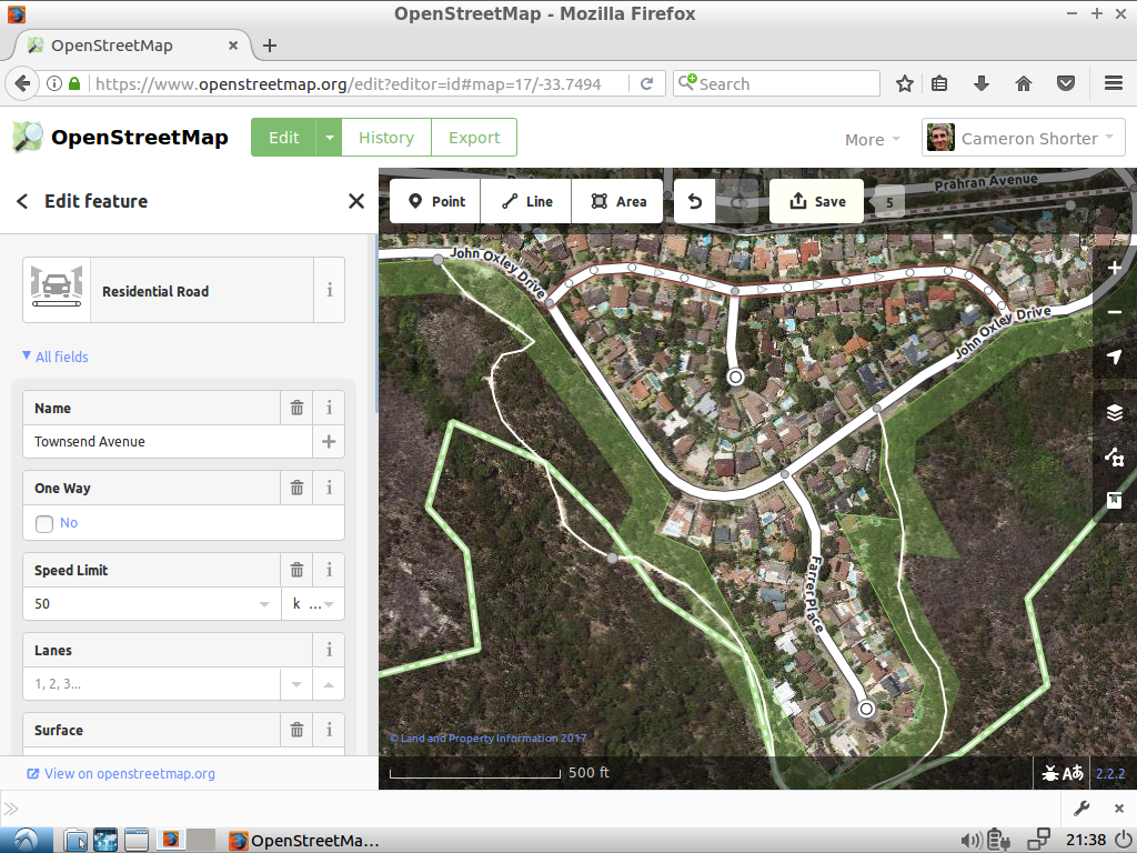
iD Editor
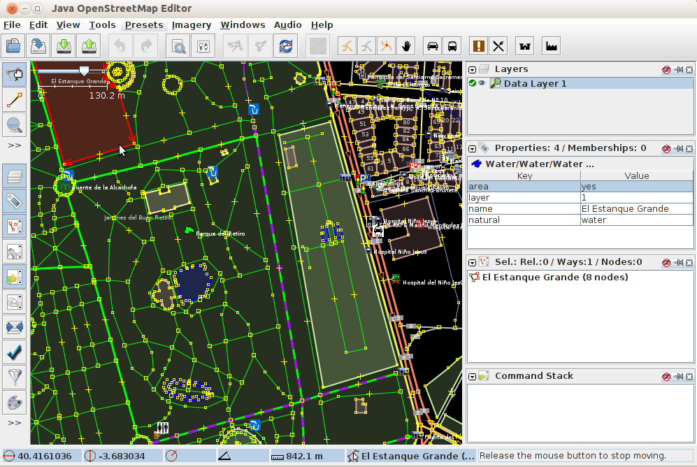
JOSM
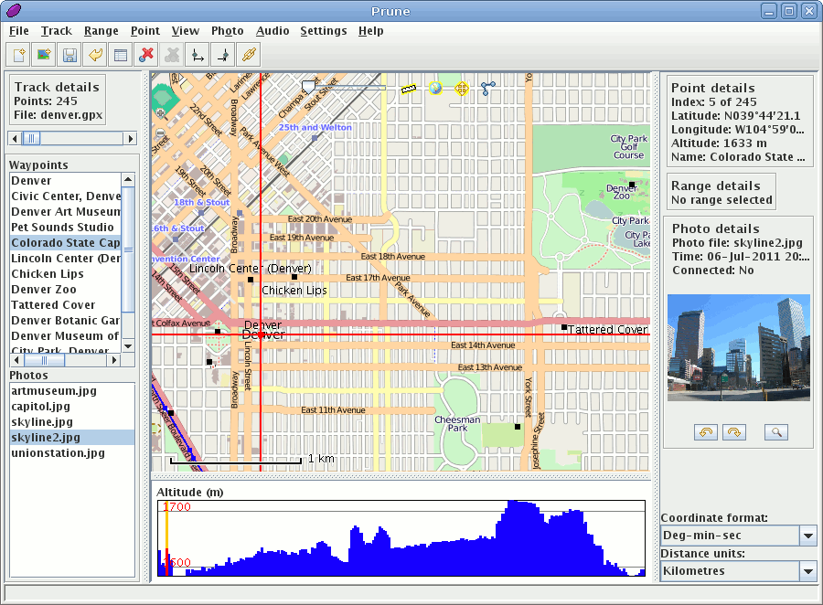
GpsPrune
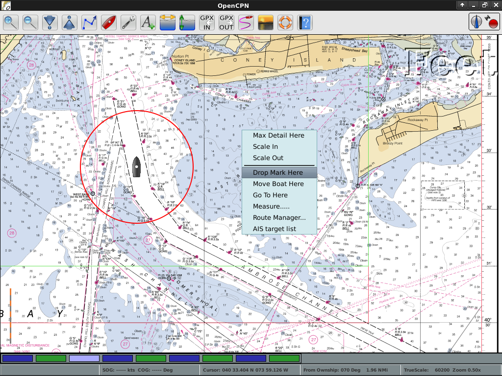
OpenCPN
OpenStreetMap (OSM)
Marble
iD Editor
JOSM
GpsPrune
OpenCPN
OpenStreetMap (OSM)

Spezielle GIS Software
OTB
GMT
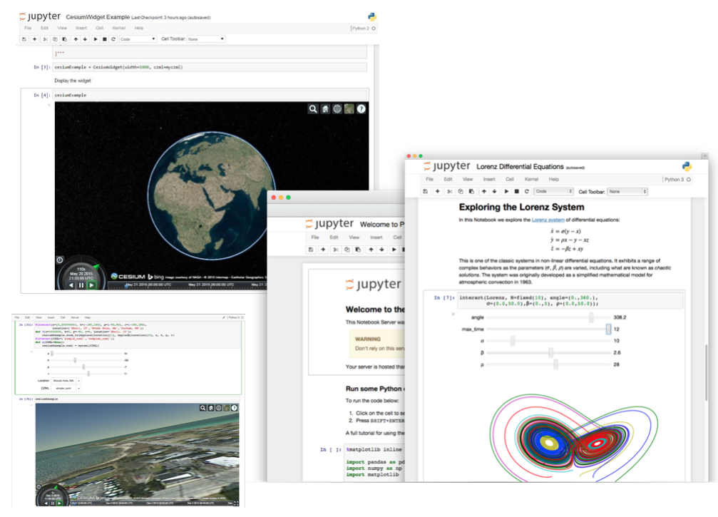
Jupyter Notebook
Mapnik
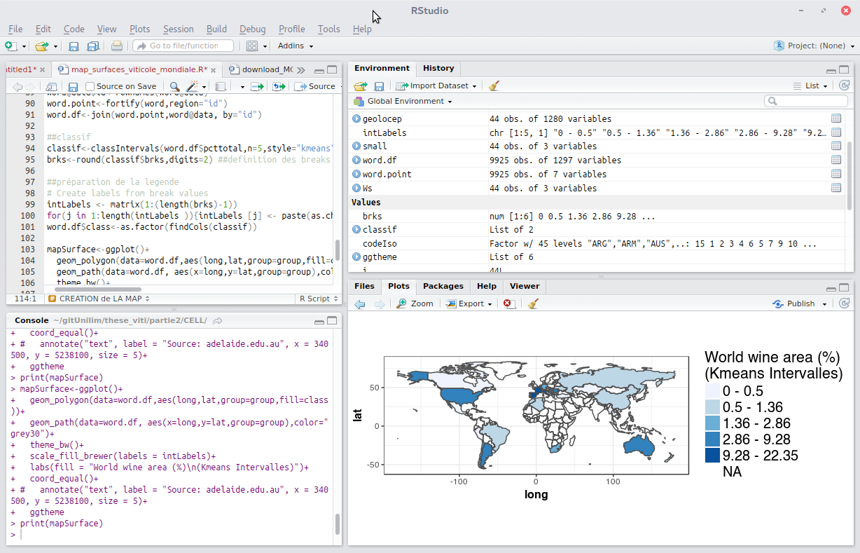
R
OTB
GMT
Jupyter Notebook
Mapnik
R
GIS Werkzeuge
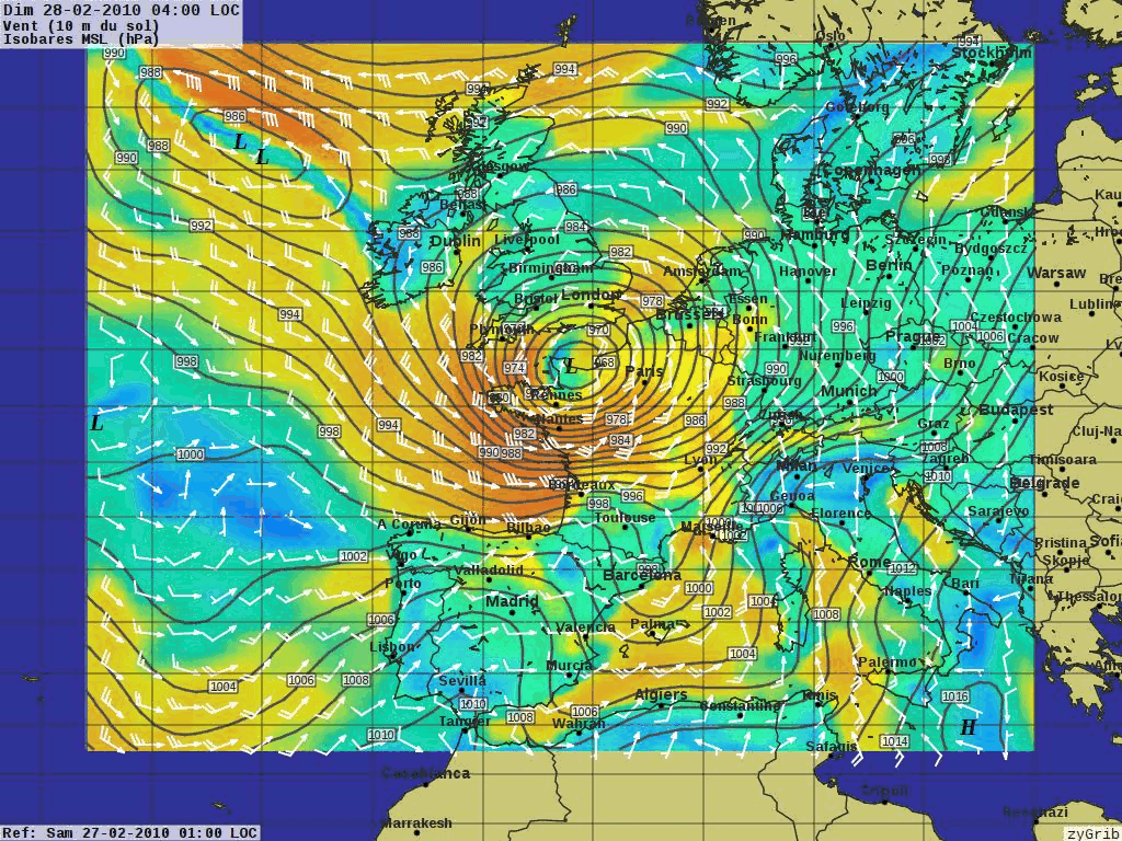
XyGrib
XyGrib
Daten
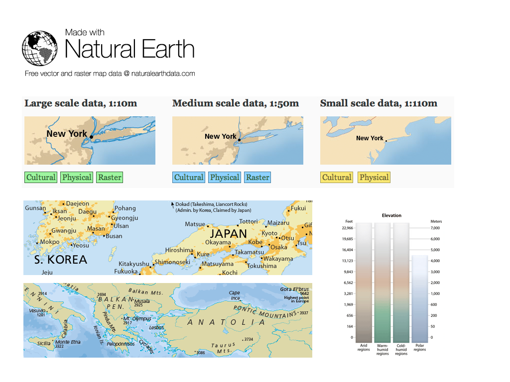
Natural Earth
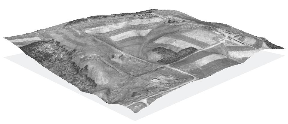
North Carolina, USA Schulungsdatensatz
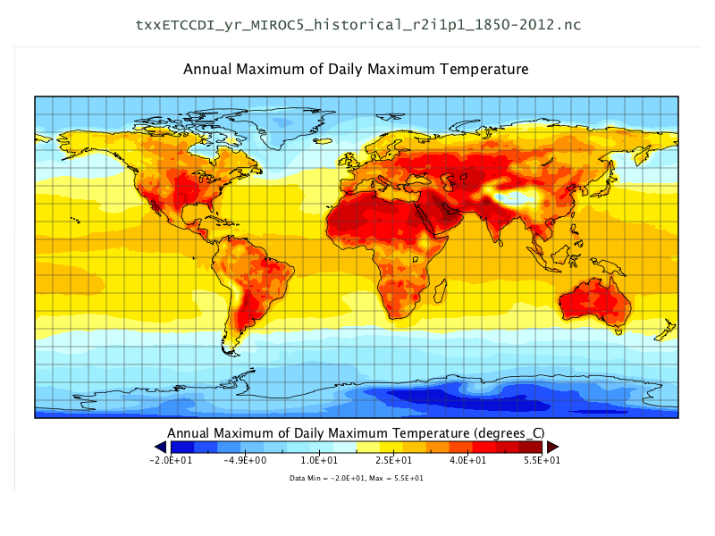
NetCDF Datensatz
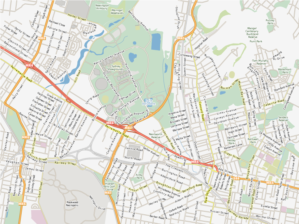
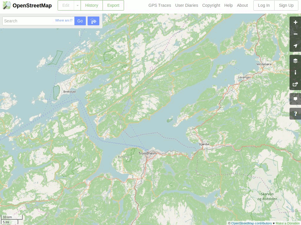
OpenStreetMap (OSM)
Natural Earth
North Carolina, USA Schulungsdatensatz
NetCDF Datensatz
OpenStreetMap (OSM)
GIS Bibliotheken
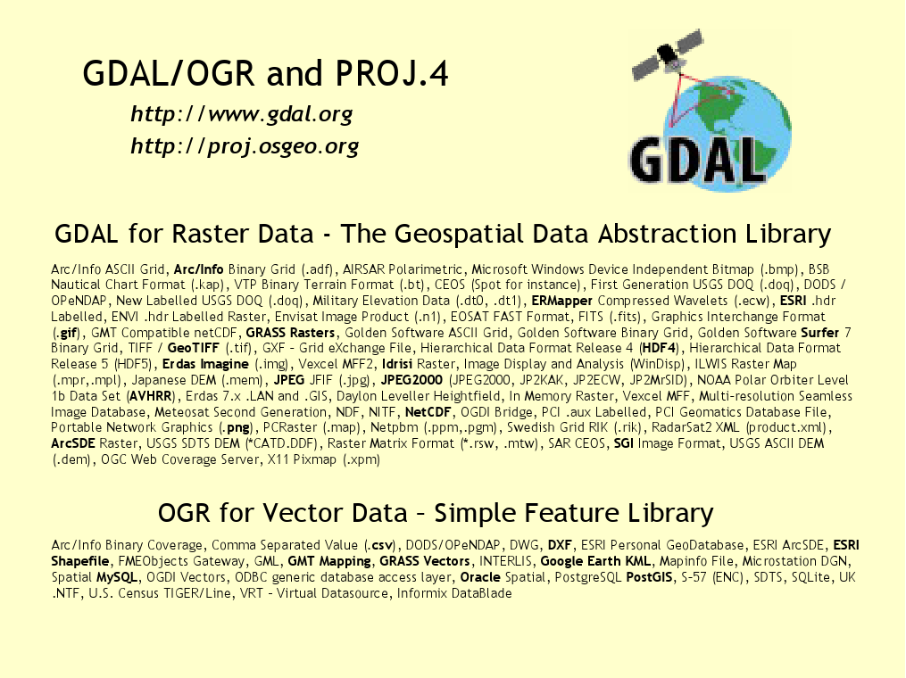
GDAL/OGR
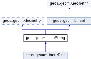
GEOS
GeoTools
PROJ
JTS
GDAL/OGR
GEOS
GeoTools
PROJ
JTS
Credits
Developers and project maintainers
Authors and reviewers of the documentation
Übersetzer
Project Steering Committee
Angelos Tzotsos (Chair)
Brian M Hamlin
Alex Mandel
Johan Van de Wauw
Bas Couwenberg
Massimo De Stefano
Astrid Emde
Nicolas Roelandt
Vicky Vergara
Enock Seth Nyamador
Get involved
Become a member of our team
Join our Mailing List and introduce yourself
Take part in our weekly IRC meetings (channel #osgeolive on Libera.Chat
There are two ways you can help
Help improve OSGeoLive website and documentation
Submit new projects
Improving OSGeoLive Documentation
Proof-read, test and correct Quickstarts and Overviews
There is a good possibility to get to know cool software!
Translate and improve the documentation
Translation is made in OSGeo Weblate
Local Chapters can easily get involved here
No technical experience necessary
Try out OSGeoLive
Cloud deployments
Try out OSGeoLive
Try out OSGeoLive
Join us at the FOSS4G 2023 Community Sprint
01.-02. of July 2023
Sponsors
OSGeo |
UCD ICE |
DebianGIS |
|
|
|


Try out OSGeoLive