
GRASS GIS
Fully featured GIS
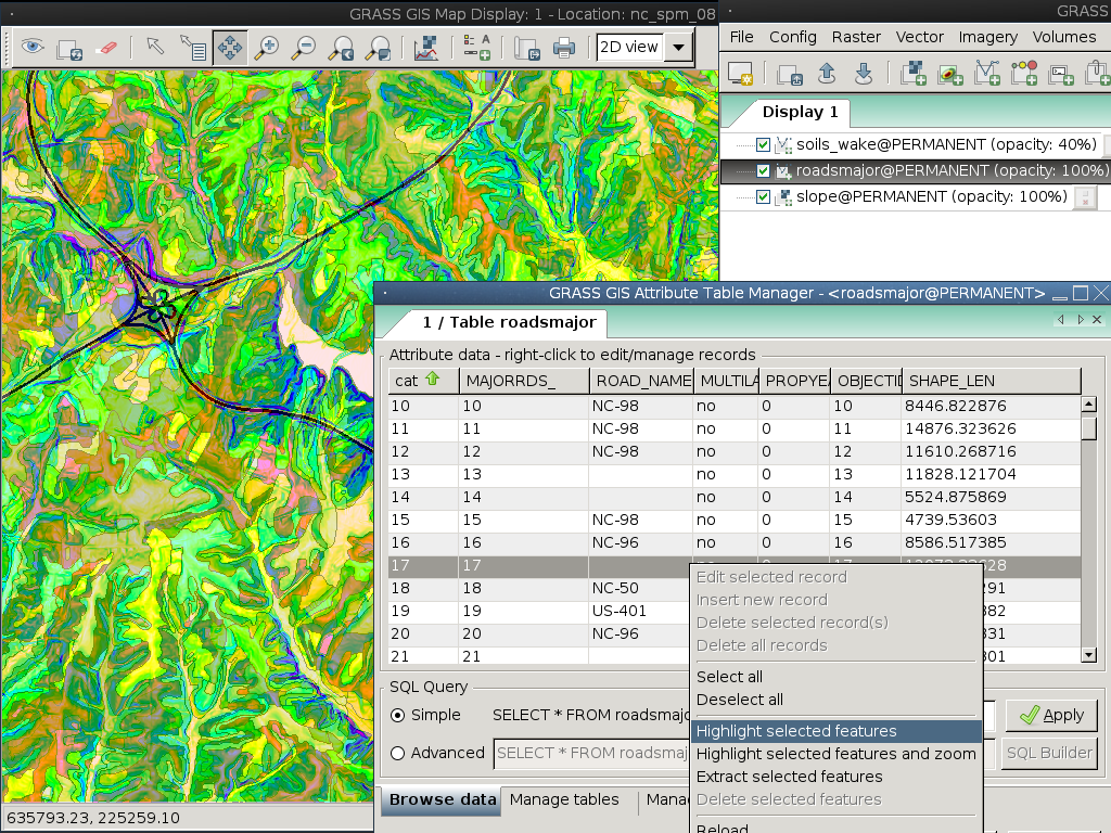
The Geographic Resources Analysis Support System, commonly referred to as GRASS, is a Geographic Information System (GIS) providing powerful raster, vector, and geospatial processing engines in a single integrated software suite. GRASS GIS includes tools for spatial modeling, visualization of raster and vector data, management and analysis of geospatial data, and the processing of satellite and aerial imagery. It comes with a temporal framework for advanced time series processing and a Python API for rapid geospatial programming. GRASS GIS has been optimized for performance and large geospatial data analysis. It also can produce sophisticated presentation graphics and hardcopy maps. GRASS GIS has been translated into many languages and supports a huge array of data formats.
GRASS GIS is used around the world in academic and commercial settings as well as by many governmental agencies and environmental consulting companies. It runs on a variety of popular hardware platforms and is Free open-source software released under the terms of the GNU General Public License.
The GRASS GIS software includes more than 400 built-in analysis modules. Additionally, over 100 community supplied modules and toolboxes are available for free from the Add-on repository. After more than 30 years of continuous development GRASS GIS is both the longest maintained and largest Open Source GIS available. It is easily scriptable and versatile enough to be used both for batch data processing on massively-parallel supercomputers as well as a handy desktop GIS for handheld PDAs or netbooks.

Core Features
- You name it, there’s a tool for it.
- Explore the screenshot collection.
Details
Website: https://grass.osgeo.org/
Licence: GNU General Public License (GPL) version 2+
Software Version: 7.8.5
Supported Platforms: GNU/Linux, Mac OSX, MS Windows
API Interfaces: C, Python, Bourne Shell
