

Marble
3D デスクトップ地球儀
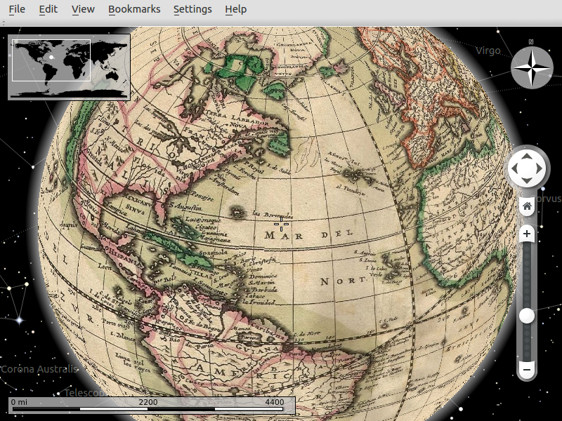
Marbleは NASA World Wind や GoogleEarth の様なオープンソースのKDE教育プロジェクトプログラムです。 PC上の地球儀に OpenStreetMaps を含む様々な地図表示することができます。また、あなたの作成したアプリケーションに KDE Marble ウィジェットを追加すこともできます。
主な機能
- 仮想地球儀、世界地図の表示
- Easy to use
- A great solution for the geography lessons
- Map Presentation (Atlas View, Street Maps, Satellite Maps, Topographic Maps, Educational Maps)
- 3Dでの地球儀のナビゲート
- 3 different projections are available (3D Globe, Flat Map, Mercator)
- Information layers (Weather, Real-time clouds, Day/Night View, Real-time Satellites, Wikipedia Articles, Photos, Postal Codes, Earthquakes)
- Search (Online address search, Online POI search)
- Positioning & Tracking (GPS and WLAN localization, Track export in KML)
- Routing & Navigation (Voice navigation, Online motorcar routing, Online bike routing, Online pedestrian routing, Offline routing optional download, Turn-by-turn navigation)
- Interactive KML tours (Creating, editing, viewing)
- Integration with many online services (Amateur Radio Aprs, OpenCaching.com, etc.)
- WMS & TMS support
- Tools (Distance Measurement, Bookmarks, Time Simulation, Offline Mode)
- OpenStreetMap との統合
詳細
ウェブサイト: http://marble.kde.org
ライセンス: GNU Lesser General Public License (LGPL) version 2.1
ソフトウェアバージョン: 1.12.20
対応プラットフォーム: GNU/Linux, Mac OSX, MS Windows, Maemo 5
API インターフェース: Qt designer, C++, Python, D-BUS, Shell script
サポート: http://techbase.kde.org/Projects/Marble
More Info: http://www.slideshare.net/marbleglobe/marble-1-6en